Bamford in the Domesday Book (1086)
The settlement of Bamford is recorded in William I’s Domesday survey of 1086, entered under the hundred of Blackwell in Derbyshire.
Other Settlements in Blackwell
- Abney
- Ashford [-in-the-Water]
- Aston
- Bakewell
- Baslow
- Beeley
- Birchills
- Birchover
- Blackwell
- Bradwell
- Bubnell
- Burley
- Burton
- Calver
The Meaning of the Name
The name Bamford is of Anglo-Saxon origin. Its final element derives from the Old English word ford, a river crossing. The first element is most likely a personal name or an early descriptive term, now difficult to recover with certainty. Taken together the name probably meant something close to ‘a ford’.
Remarkably, the name has changed little since 1086, when the Domesday scribes wrote it as Bamford.
Listed Buildings Near Bamford
Historic England records 11 listed buildings within about a mile of Bamford. Listing protects structures of special architectural or historic interest, graded I (exceptional), II* (particularly important) and II.
Grade II*
- Church of St John the Baptist - 0.18 km
Grade II
- Gateway and Boundary Wall to St John the Baptist’s Church - 0.16 km
- Moores Farmhouse - 0.21 km
- Barn to North of Moore’s Farmhouse - 0.23 km
- Rectory and Attached Coach House - 0.23 km
- Barn to North North East of Moore’s Farmhouse - 0.23 km
- Roman Catholic Church of Our Lady of Sorrows and Attached Presbytery - 0.31 km
- Chapel Farmhouse and attached Outbuildings - 0.8 km
- Barn to North of Ryecroft Cottage Farmhouse - 0.9 km
- The Farm - 1.01 km
- The Homestead and Attached Outbuildings - 1.15 km
Scheduled Monuments Near Bamford
Scheduled monuments are nationally important archaeological sites given legal protection. 8 lie within roughly a mile of Bamford:
- Cairn on Bamford Edge, 570m north east of Clough House - 1.17 km
- Cairnfield and quarry on Bamford Edge, 720m north of Clough House - 1.24 km
- Cairn on Bamford Moor, 680m north of High Lees Farm - 1.33 km
- Cairn on Bamford Edge, 500m north east of Mooredge - 1.41 km
- Cairnfield 600m NNE of High Lees Farm - 1.43 km
- Cairn on Bamford Moor, 975m north east of Clough House - 1.53 km
- Cairn on Bamford Moor, 960m north east of Clough House - 1.54 km
- Cairn on Bamford Moor, 500m east of Great Tor - 1.58 km
Bamford Today
Today Bamford lies within the administrative area of High Peak, and the settlement recorded a population of 1,115 at the 2021 census. Nine and a half centuries separate that figure from the small rural community the Domesday survey recorded here in 1086.
Read more about modern Bamford on Wikipedia .
Nearby Domesday Settlements
Other places recorded in the 1086 survey within a few miles:
Heritage Around Bamford
Photographs of churches, listed buildings and monuments in the vicinity, contributed by volunteers to the Geograph project and reused here under a Creative Commons licence.
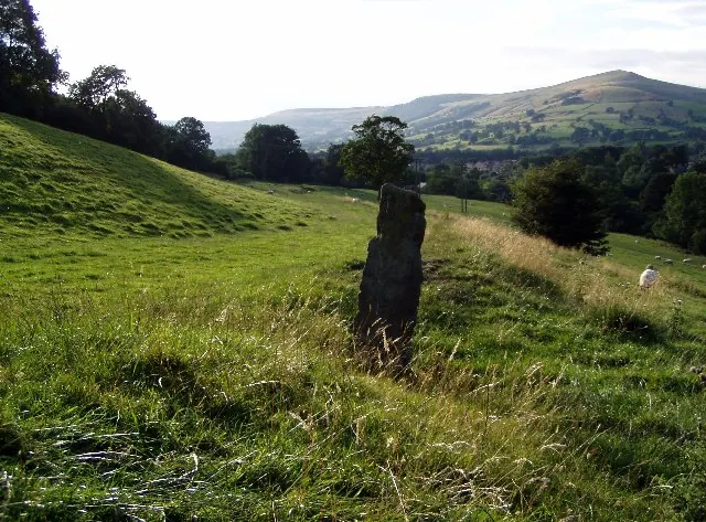
© Mark Dunn · Geograph · CC BY-SA 2.0
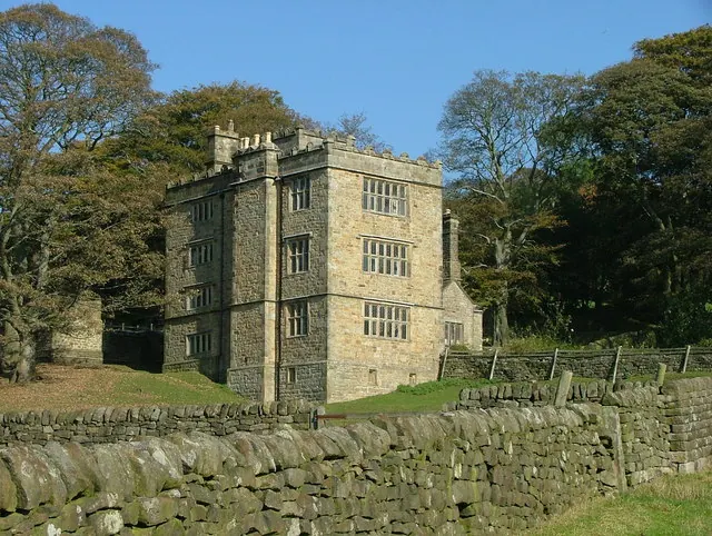
© J147 · Geograph · CC BY-SA 2.0
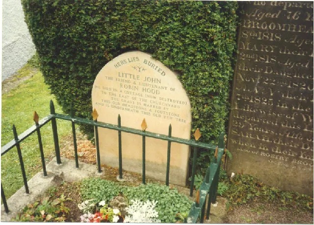
© Mick Garratt · Geograph · CC BY-SA 2.0
Images © their respective photographers, licensed under CC BY-SA 2.0 and reused here with attribution. Photographs depict listed buildings, churches and monuments near this settlement and may show neighbouring villages.
Data derived from the Open Domesday project (opendomesday.org), based on the Domesday Book dataset compiled by Professor J.J.N. Palmer and team. The Domesday Book (1086) is in the public domain.
Found an inaccuracy? [email protected]