Ballidon in the Domesday Book (1086)
Ballidon is named in the Domesday Book, compiled by Norman commissioners in 1086, entered under the hundred of Hamston in Derbyshire.
Other Settlements in Hamston
- Alsop [-en-le-Dale]
- Ashbourne
- Atlow
- Bonsall
- Bradbourne
- Brassington
- Broadlowash
- Callow
- Carsington
- Cowley
- Cromford
- Elton
- Hanson [Grange]
- Hartington
The Meaning of the Name
The name Ballidon is of Anglo-Saxon origin. Its final element derives from the Old English word dūn, a hill. The first element is most likely a personal name or an early descriptive term, now difficult to recover with certainty. Taken together the name probably meant something close to ‘a hill’.
Remarkably, the name has changed little since 1086, when the Domesday scribes wrote it as Ballidon.
Listed Buildings Near Ballidon
Historic England records 9 listed buildings within about a mile of Ballidon. Listing protects structures of special architectural or historic interest, graded I (exceptional), II* (particularly important) and II.
Grade II
- Church of All Saints - 0.22 km
- Barn to the South East of Oldfields Farmhouse - 0.23 km
- Cowclose Farmhouse - 0.26 km
- Oldfields Farmhouse - 0.26 km
- Ballidonhall Farmhouse - 0.41 km
- The Cottage - 0.52 km
- Milestone Half Mile North East of White Meadow at Ngr 207 539 - 0.56 km
- Tilcon Laboratory and Outbuilding - 0.65 km
- Tilcon Offices, Ballidon Quarry - 0.84 km
Scheduled Monuments Near Ballidon
Scheduled monuments are nationally important archaeological sites given legal protection. 3 lie within roughly a mile of Ballidon:
- Medieval settlement and associated field system immediately south of Ballidon village - 0.2 km
- Blackstone’s Low bowl barrow - 1.04 km
- Romano-British settlement and field system at Rainster Rocks - 1.35 km
Ballidon Today
Today Ballidon lies within the administrative area of Derbyshire Dales, and the settlement recorded a population of 57 at the 2021 census. Nine and a half centuries separate that figure from the small rural community the Domesday survey recorded here in 1086.
Read more about modern Ballidon on Wikipedia .
Nearby Domesday Settlements
Other places recorded in the 1086 survey within a few miles:
- Parwich - 2.0 km W
- Bradbourne - 2.0 km S
- Brassington - 3.0 km E
- Tissington - 3.6 km SW
- Newton Grange - 4.1 km W
- Alsop -en-le-Dale - 4.1 km W
Heritage Around Ballidon
Photographs of churches, listed buildings and monuments in the vicinity, contributed by volunteers to the Geograph project and reused here under a Creative Commons licence.
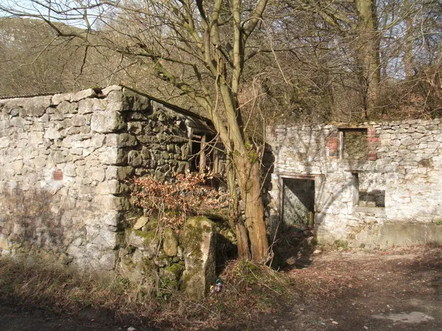
© Peter Barr · Geograph · CC BY-SA 2.0
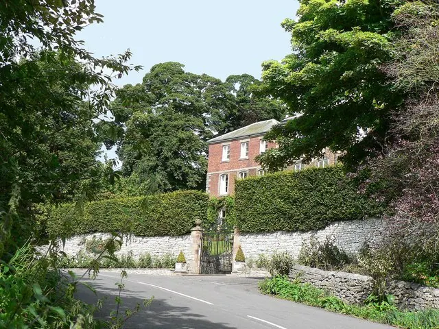
© Mick Lobb · Geograph · CC BY-SA 2.0
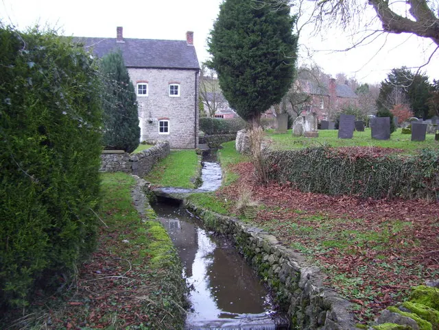
© Paul Bridge · Geograph · CC BY-SA 2.0
Images © their respective photographers, licensed under CC BY-SA 2.0 and reused here with attribution. Photographs depict listed buildings, churches and monuments near this settlement and may show neighbouring villages.
Data derived from the Open Domesday project (opendomesday.org), based on the Domesday Book dataset compiled by Professor J.J.N. Palmer and team. The Domesday Book (1086) is in the public domain.
Found an inaccuracy? [email protected]