Baguley in the Domesday Book (1086)
Baguley is named in the Domesday Book, compiled by Norman commissioners in 1086, entered under the hundred of Tunendune in Cheshire.
Other Settlements in Tunendune
- Alretunstall
- Antrobus
- Bowdon
- Chapmonswiche
- Cogshall
- Dutton
- Hale
- Halton
- Knutsford
- Mere
- Middle Aston
- Millington
- Rostherne
- Sinderland
The Meaning of the Name
The name Baguley is of Anglo-Saxon origin. Its final element derives from the Old English word lēah, a woodland clearing or glade. The first element is most likely a personal name or an early descriptive term, now difficult to recover with certainty. Taken together the name probably meant something close to ‘a clearing’.
Remarkably, the name has changed little since 1086, when the Domesday scribes wrote it as Baguley.
Listed Buildings Near Baguley
Historic England records 9 listed buildings within about a mile of Baguley. Listing protects structures of special architectural or historic interest, graded I (exceptional), II* (particularly important) and II.
Grade II*
- Church of St Michael and All Angels - 0.27 km
- Wythenshawe Hall - 0.64 km
Grade II
- Vicarage of Church of St Michael and All Angels - 0.28 km
- The Mount - 0.39 km
- North Lodge of Wythenshawe Hall - 0.46 km
- Former Stable Block to West of Wythenshawe Hall - 0.65 km
- Park Statue of Oliver Cromwell Approximately 100 Metres East of Wythenshawe Hall - 0.67 km
- Assembly Hall of Jehovahs Witnesses - 1.05 km
- Northenden War Memorial - 1.29 km
Baguley Today
Today Baguley lies within the administrative area of Manchester, and the settlement recorded a population of 14,794 at recent figures. Nine and a half centuries separate that figure from the small rural community the Domesday survey recorded here in 1086.
Read more about modern Baguley on Wikipedia .
Nearby Domesday Settlements
Other places recorded in the 1086 survey within a few miles:
- Northenden - 2.2 km SE
- Alretunstall - 3.6 km SW
- Hale - 5.6 km SW
- Cheadle - 6.3 km E
- Bowdon - 7.2 km SW
- Ashley - 7.2 km SW
Heritage Around Baguley
Photographs of churches, listed buildings and monuments in the vicinity, contributed by volunteers to the Geograph project and reused here under a Creative Commons licence.
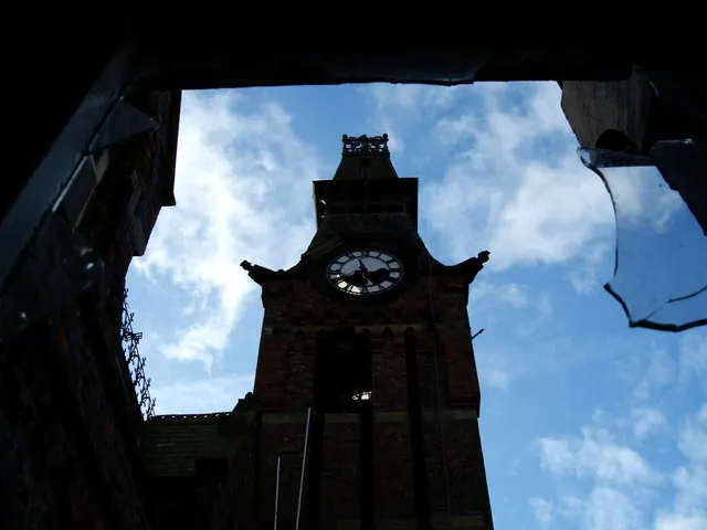
© Saul Beeson · Geograph · CC BY-SA 2.0
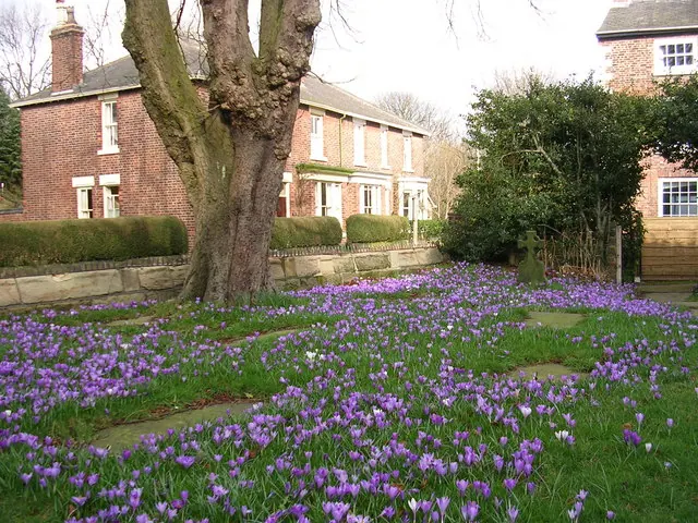
© Keith Williamson · Geograph · CC BY-SA 2.0
© Keith Williamson · Geograph · CC BY-SA 2.0
Images © their respective photographers, licensed under CC BY-SA 2.0 and reused here with attribution. Photographs depict listed buildings, churches and monuments near this settlement and may show neighbouring villages.
Data derived from the Open Domesday project (opendomesday.org), based on the Domesday Book dataset compiled by Professor J.J.N. Palmer and team. The Domesday Book (1086) is in the public domain.
Found an inaccuracy? [email protected]