Badsworth in the Domesday Book (1086)
The 1086 Domesday survey records the settlement of Badsworth, entered under the hundred of Osgodcross in Yorkshire. The survey assessed Badsworth at 10 carucates of taxable land.
At the time of the survey, Badsworth supported a recorded population of 3 villagers, working 2 ploughs between them.
The drop in value is hard to miss. Before 1066, Badsworth was worth 2 shillings; by 1086 that had dropped to 10d – a fall of 75%. Most Yorkshire villages that lost value on this scale were swept up in the Harrying of the North – William’s scorched-earth campaign of 1069–70.
Resources Recorded at Badsworth (1086)
- Meadow: 6 acres
Other Settlements in Osgodcross
- Arksey
- Beal
- Burgh[wallis]
- Campsall
- Darrington
- Featherstone
- Ferry [Fryston]
- Hamphall [Stubbs]
- Hensall
- Hessle
- Kellington
- Knottingley
- Minsthorpe
- Newsham
The Meaning of the Name
The name Badsworth is of Anglo-Saxon origin. Its final element derives from the Old English word worð, an enclosure or homestead. The first element is most likely a personal name or an early descriptive term, now difficult to recover with certainty. Taken together the name probably meant something close to ‘a enclosure’.
Remarkably, the name has changed little since 1086, when the Domesday scribes wrote it as Badsworth.
Listed Buildings Near Badsworth
Historic England records 14 listed buildings within about a mile of Badsworth. Listing protects structures of special architectural or historic interest, graded I (exceptional), II* (particularly important) and II.
Grade I
- Church of St Mary - 0.57 km
Grade II
- The Old Rectory - 0.4 km
- Sundial Approximately 15 Metres South of Church of St Mary - 0.55 km
- School House - 0.55 km
- Shillito Monument Next to South East Corner of South Aisle of Church of St Mary - 0.56 km
- Mason Monument Approximately 1 Metre South of 4Th Bay of South Aisle of Church of St Mary - 0.56 km
- Jackson Monument Approximately 13 Metres South West of Church of St Mary - 0.56 km
- Harrison Monument Approximately 10 Metres West South West of Porch of Church of St Mary - 0.56 km
- Kirkbank - 0.58 km
- Badsworth Hall - 0.68 km
- Rogerthorpe Manor - 0.84 km
- Barn at Rogerthorpe Manor Farm, approximately 50 metres north-east of Rogerthorpe Manor - 0.9 km
- The Manor Upton Moor Top Farmhouse - 0.92 km
- Lodge to Former Elmsall Lodge, With Associated Gatepiers and Railings - 1.04 km
Badsworth Today
Today Badsworth lies within the administrative area of Wakefield, and the settlement recorded a population of 695 at the 2021 census. Nine and a half centuries separate that figure from the small rural community the Domesday survey recorded here in 1086.
Read more about modern Badsworth on Wikipedia .
Nearby Domesday Settlements
Other places recorded in the 1086 survey within a few miles:
- Rogerthorpe Manor - 1.0 km N
- Upton - 1.4 km SE
- Thorpe Audlin - 2.2 km NE
- Minsthorpe - 2.2 km SE
- North Elmsall - 2.2 km SE
- Moorthorpe - 3.0 km S
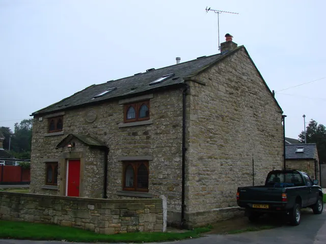
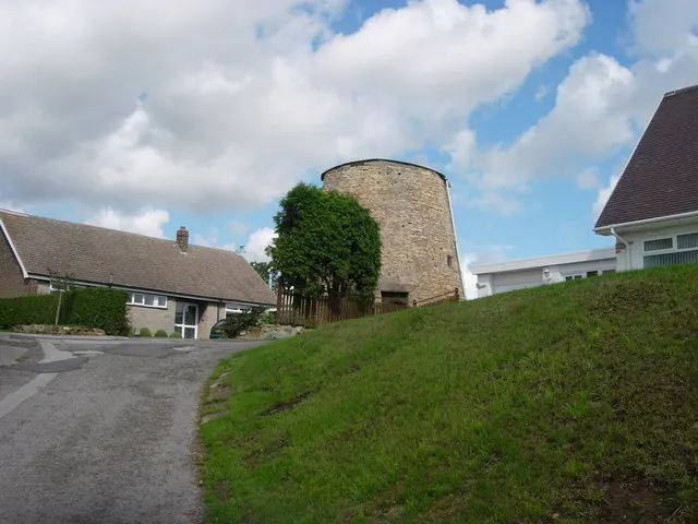
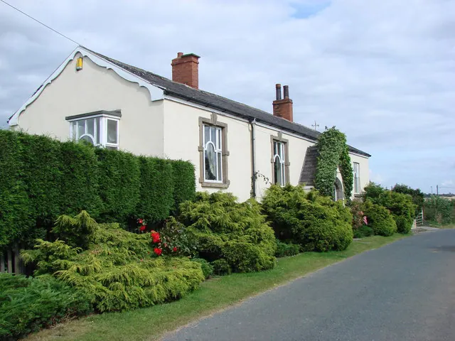
Heritage Around Badsworth
Photographs of churches, listed buildings and monuments in the vicinity, contributed by volunteers to the Geograph project and reused here under a Creative Commons licence.
© Bill Henderson · Geograph · CC BY-SA 2.0
© Bob Paterson · Geograph · CC BY-SA 2.0
© Bill Henderson · Geograph · CC BY-SA 2.0
Images © their respective photographers, licensed under CC BY-SA 2.0 and reused here with attribution. Photographs depict listed buildings, churches and monuments near this settlement and may show neighbouring villages.
Data derived from the Open Domesday project (opendomesday.org), based on the Domesday Book dataset compiled by Professor J.J.N. Palmer and team. The Domesday Book (1086) is in the public domain.
Found an inaccuracy? [email protected]