Aysgarth in the Domesday Book (1086)
Aysgarth appears in the Domesday Book of 1086, entered under the hundred of Land of Count Alan in Yorkshire.
Other Settlements in Land of Count Alan
- Achebi
- Agglethorpe
- Ainderby [Mires]
- Ainderby [Quernhow]
- Aiskew
- Aldbrough
- Allerthorpe [Hall]
- Ascam
- Ascham
- Asebi
- Aske [Hall]
- Askrigg
- Baldersby
- Barden
The Meaning of the Name
The name Aysgarth is of Scandinavian origin. Its final element derives from the Old Norse word garðr, an enclosure. The first element is most likely a personal name or an early descriptive term, now difficult to recover with certainty. Taken together the name probably meant something close to ‘a enclosure’.
Names of this type are a fingerprint of Scandinavian settlement: they cluster across the old Danelaw, where Norse-speaking settlers renamed or founded villages from the late 9th century onward.
Remarkably, the name has changed little since 1086, when the Domesday scribes wrote it as Aysgarth.
Listed Buildings Near Aysgarth
Historic England records 21 listed buildings within about a mile of Aysgarth. Listing protects structures of special architectural or historic interest, graded I (exceptional), II* (particularly important) and II.
Grade II*
- Bear Park - 0.4 km
- Church of Saint Andrew - 0.6 km
Grade II
- George and Dragon Hotel and Attached Former Coach House and Mounting Block - 0.2 km
- The Ferns - 0.25 km
- Aysgarth War Memorial - 0.25 km
- Stocks - 0.29 km
- Rockery adjacent to Reeth Cottage - 0.4 km
- Grotto Approximately 8 Metres to South West of Bear Park - 0.4 km
- Yore Bridge - 0.49 km
- Cottages Approximately 10 Metres South-west of Yore Mill - 0.5 km
- Range Adjoining Yore Mill on North-west - 0.52 km
- Yore Mill - 0.53 km
- Yore Mill Cottages Approximately 30 Metres North-east of Yore Mill - 0.57 km
- White House - 0.58 km
- Boundary Stone Approximately 6 Metres North of Tomgill Bridge - 0.95 km
- Milestone, Heads Bank, Aysgarth - 1.13 km
- West End Farmhouse - 1.22 km
- West Lea Cottage - 1.23 km
- Cross - 1.25 km
- Friends Meeting House - 1.27 km
- Quaker Cottages - 1.27 km
Scheduled Monuments Near Aysgarth
Scheduled monuments are nationally important archaeological sites given legal protection. 1 lies within roughly a mile of Aysgarth:
- Carperby market cross - 1.25 km
Aysgarth Today
Today Aysgarth lies within the administrative area of Richmondshire, and the settlement recorded a population of 207 at the 2021 census. Nine and a half centuries separate that figure from the small rural community the Domesday survey recorded here in 1086.
Read more about modern Aysgarth on Wikipedia .
Nearby Domesday Settlements
Other places recorded in the 1086 survey within a few miles:
- Carperby - 1.0 km N
- Eshingtons - 1.4 km SE
- Thoralby - 2.0 km S
- West Burton - 2.2 km SE
- West Bolton - 2.8 km NE
- Thornton Rust - 3.0 km W
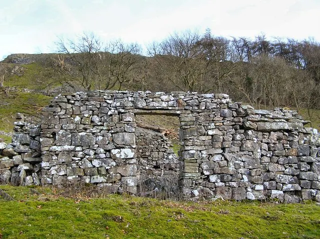
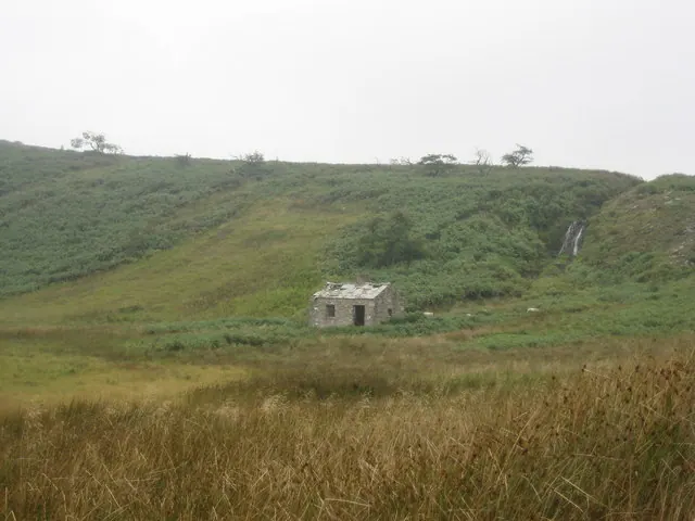
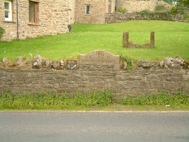
Heritage Around Aysgarth
Photographs of churches, listed buildings and monuments in the vicinity, contributed by volunteers to the Geograph project and reused here under a Creative Commons licence.
© Arnold Price · Geograph · CC BY-SA 2.0
© Chris Heaton · Geograph · CC BY-SA 2.0
© Jeff Tomlinson · Geograph · CC BY-SA 2.0
Images © their respective photographers, licensed under CC BY-SA 2.0 and reused here with attribution. Photographs depict listed buildings, churches and monuments near this settlement and may show neighbouring villages.
Location
54.2919°N, -1.9923°W · Land of Count Alan hundred, Yorkshire
View larger map on OpenStreetMap →Data derived from the Open Domesday project (opendomesday.org), based on the Domesday Book dataset compiled by Professor J.J.N. Palmer and team. The Domesday Book (1086) is in the public domain.
Found an inaccuracy? [email protected]