Austonley in the Domesday Book (1086)
Austonley appears in the Domesday Book of 1086, entered under the hundred of Agbrigg in Yorkshire.
Other Settlements in Agbrigg
- Ackton
- Almondbury
- Bradley
- Cartworth
- Crigglestone
- Crofton
- Dalton
- Emley
- Farnley [Tyas]
- Flockton
- Fulstone
- Golcar
- Hepworth
- Holme
The Meaning of the Name
The name Austonley is of Anglo-Saxon origin. Its final element derives from the Old English word lēah, a woodland clearing or glade. The first element is most likely a personal name or an early descriptive term, now difficult to recover with certainty. Taken together the name probably meant something close to ‘a clearing’.
Remarkably, the name has changed little since 1086, when the Domesday scribes wrote it as Austonley.
Listed Buildings Near Austonley
Historic England records 52 listed buildings within about a mile of Austonley. Listing protects structures of special architectural or historic interest, graded I (exceptional), II* (particularly important) and II.
Grade II
- 1,3,5, Flush House - 0.07 km
- 12, Flush House - 0.07 km
- 11,13,15, Flush House - 0.14 km
- Cliff Farmhouse and Barn - 0.22 km
- Barn at Austonley Hall - 0.24 km
- House and Attached Barn Adjoining Austonley Hall - 0.24 km
- Austonley Hall - 0.26 km
- Sparth Top - 0.28 km
- Lower Green Gate and Barn - 0.39 km
- New Laith (House to South West) - 0.39 km
- Pinfold at Carr Green - 0.41 km
- Edge End (House to South) - 0.42 km
- Hall Croft - 0.42 km
- Green Gate - 0.47 km
- 1,2,3,4, Carr Lane - 0.63 km
- Clonlea - 0.63 km
- Hillside Cottage - 0.65 km
- Church of England Primary School - 0.72 km
- Bridge Tavern - 0.83 km
- Boundary Stone Opposite Post Office - 0.84 km
- Kestrel and Kingfisher Cottages - 0.85 km
- Curlew,holly and Hawthorn Cottages - 0.86 km
- Church of St David - 0.87 km
- 2 Miles Post - 0.92 km
…and 28 more listed structures in the area.
Scheduled Monuments Near Austonley
Scheduled monuments are nationally important archaeological sites given legal protection. 1 lies within roughly a mile of Austonley:
Austonley Today
Today Austonley lies within the administrative area of Holme Valley.
Read more about modern Austonley on Wikipedia .
Nearby Domesday Settlements
Other places recorded in the 1086 survey within a few miles:
Heritage Around Austonley
Photographs of churches, listed buildings and monuments in the vicinity, contributed by volunteers to the Geograph project and reused here under a Creative Commons licence.
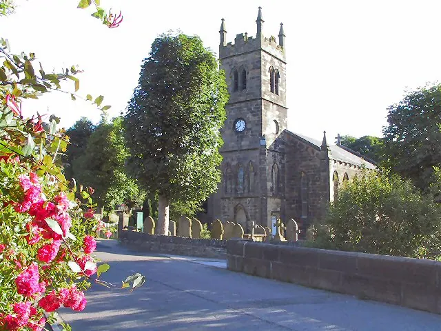
© Roger May · Geograph · CC BY-SA 2.0
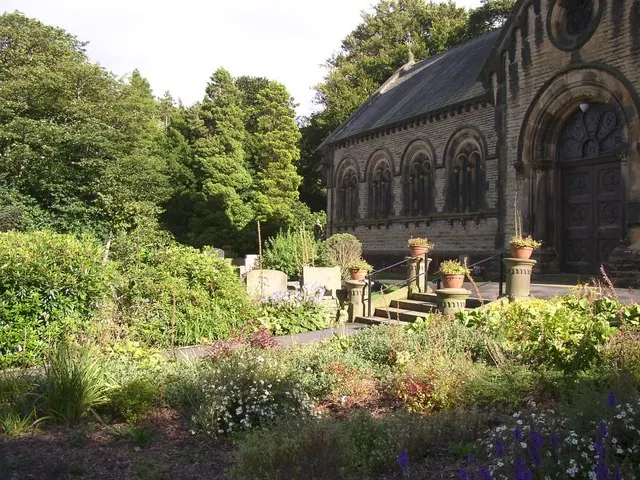
© Humphrey Bolton · Geograph · CC BY-SA 2.0
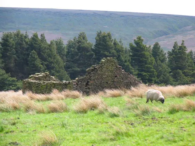
© Roger May · Geograph · CC BY-SA 2.0
Images © their respective photographers, licensed under CC BY-SA 2.0 and reused here with attribution. Photographs depict listed buildings, churches and monuments near this settlement and may show neighbouring villages.
Data derived from the Open Domesday project (opendomesday.org), based on the Domesday Book dataset compiled by Professor J.J.N. Palmer and team. The Domesday Book (1086) is in the public domain.
Found an inaccuracy? [email protected]