Austhorpe in the Domesday Book (1086)
The 1086 Domesday survey records the settlement of Austhorpe, entered under the hundred of Skyrack in Yorkshire.
Other Settlements in Skyrack
- Adel
- Allerton [Bywater]
- Alwoodley
- Arthington
- Baildon
- Bardsey
- Barwick [in Elmet]
- Bichertun
- Bicherun
- Bingley
- Birkby [Hill]
- Bramhope
- Burden [Head]
- Burley [in Wharfedale]
The Meaning of the Name
The name Austhorpe is of Scandinavian origin. Its final element derives from the Old Norse word þorp, an outlying or secondary farmstead. The first element is most likely a personal name or an early descriptive term, now difficult to recover with certainty. Taken together the name probably meant something close to ‘a outlying farm’.
Names of this type are a fingerprint of Scandinavian settlement: they cluster across the old Danelaw, where Norse-speaking settlers renamed or founded villages from the late 9th century onward.
Remarkably, the name has changed little since 1086, when the Domesday scribes wrote it as Austhorpe.
Listed Buildings Near Austhorpe
Historic England records 32 listed buildings within about a mile of Austhorpe. Listing protects structures of special architectural or historic interest, graded I (exceptional), II* (particularly important) and II.
Grade II*
- Austhorpe Hall - 0.9 km
Grade II
- Colton Mill at Colton Mill Farm - 0.47 km
- New Row - 0.69 km
- Vine Cottage Yew Tree Cottage - 0.75 km
- Colton Cottage - 0.76 km
- Ha Ha Wall and Roadside Wall With Gates to Austhorpe Hall - 0.9 km
- 16 and 18, Meynell Road - 0.93 km
- Colton Lodge - 0.97 km
- Holly Tree Farmhouse - 0.97 km
- Princess Farmhouse - 1.0 km
- Numbers 1 and 2 and Attached Wall - 1.04 km
- Park Road Farmhouse Including Outbuildings Adjoining on East - 1.08 km
- Dovecote Attached to Farm Buildings at Manston Hall Farm - 1.09 km
- The Grange - 1.19 km
- Gate Piers, Overthrow and Railings to the Grange - 1.19 km
- 396, Selby Road - 1.21 km
- 1 and 2, Colton Road - 1.21 km
- 3, 3A and 4, Colton Road - 1.21 km
- Number 5 Including Stables and Outbuildings Immediately to South - 1.21 km
- Remains of Archway to Stables South of Number 5 - 1.21 km
- Manor House and the Keep - 1.21 km
- The Poplars and Attached Railings - 1.21 km
- Lazencroft Farmhouse - 1.21 km
- Ash Cottage - 1.22 km
…and 8 more listed structures in the area.
Scheduled Monuments Near Austhorpe
Scheduled monuments are nationally important archaeological sites given legal protection. 5 lie within roughly a mile of Austhorpe:
- Length of Grim’s Ditch immediately east of Barrowby Road - 0.05 km
- Length of Grim’s Ditch 260m west of Brown Moor Farm - 0.36 km
- Length of Grim’s Ditch from Cotton Road East to the A63, Colton Common - 0.48 km
- Shrunken medieval village of Colton - 1.38 km
- Length of Grim’s Ditch extending 1.4km from a point 70m south of Cotton Road East to the south east corner of Avenue Wood - 1.4 km
Austhorpe Today
Today Austhorpe lies within the administrative area of Leeds, and the settlement recorded a population of 131 at the 2021 census. Nine and a half centuries separate that figure from the small rural community the Domesday survey recorded here in 1086.
Read more about modern Austhorpe on Wikipedia .
Nearby Domesday Settlements
Other places recorded in the 1086 survey within a few miles:
Heritage Around Austhorpe
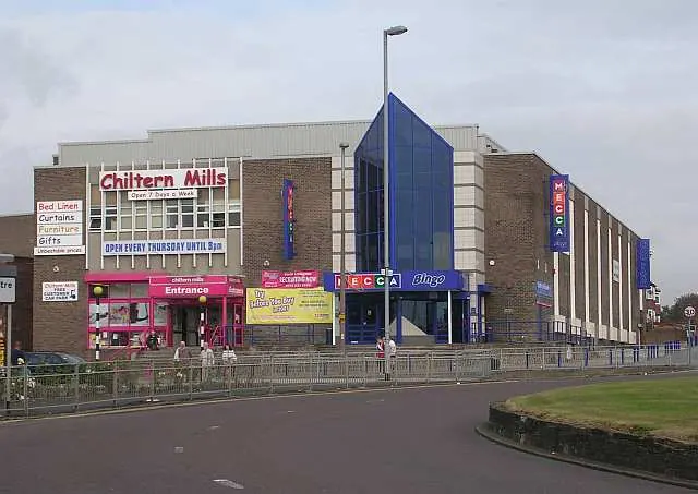
Photographs of churches, listed buildings and monuments in the vicinity, contributed by volunteers to the Geograph project and reused here under a Creative Commons licence.
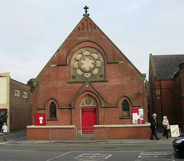
© Betty Longbottom · Geograph · CC BY-SA 2.0
© Betty Longbottom · Geograph · CC BY-SA 2.0
© John Readman · Geograph · CC BY-SA 2.0
Images © their respective photographers, licensed under CC BY-SA 2.0 and reused here with attribution. Photographs depict listed buildings, churches and monuments near this settlement and may show neighbouring villages.
Data derived from the Open Domesday project (opendomesday.org), based on the Domesday Book dataset compiled by Professor J.J.N. Palmer and team. The Domesday Book (1086) is in the public domain.
Found an inaccuracy? [email protected]