Audlem in the Domesday Book (1086)
The 1086 Domesday survey records the settlement of Audlem, entered under the hundred of Warmundestrou in Cheshire.
Other Settlements in Warmundestrou
- Acton
- Aston
- Aston [juxta Mondrem]
- Austerson
- Baddiley
- Barthomley
- Basford
- Batherton
- Blakenhall
- Broomhall
- Buerton
- Cholmondeston
- Chorley
- Chorlton
The Meaning of the Name
The origin of the name Audlem is not securely established from its modern form alone; like many settlement names in the North it likely combines an Old English or Old Norse personal name with a landscape term.
Remarkably, the name has changed little since 1086, when the Domesday scribes wrote it as Audlem.
Listed Buildings Near Audlem
Historic England records 24 listed buildings within about a mile of Audlem. Listing protects structures of special architectural or historic interest, graded I (exceptional), II* (particularly important) and II.
Grade I
- Church of St James - 0.45 km
- Moss Hall - 0.6 km
Grade II*
- The Old Grammar School - 0.52 km
Grade II
- Greenbank - 0.19 km
- Wharf Cottage, Audlem Wharf, at Sj 657 436 - 0.24 km
- Milepost - 0.29 km
- The Crown Hotel - 0.39 km
- Greys Bridge - 0.39 km
- Memorial Lampstandard - 0.41 km
- The Market House - 0.42 km
- Cemetery Chapels - 0.43 km
- Ivy House,no 19 and Holly House - 0.51 km
- 28, Stafford Street - 0.54 km
- Cobweb Cottage - 0.71 km
- Baptist Chapel - 0.77 km
- Holmes Farmhouse - 0.78 km
- Farmbuilding Circa 10 Yards East of the Holmes Farmhouse - 0.81 km
- Rose Cottage - 0.87 km
- Beech Tree House - 0.96 km
- Fields Farmhouse - 0.99 km
- The Lymes - 1.02 km
- Brown’s Bank Farmhouse - 1.13 km
- Milepost on East Side of Audlem Lock no 5 at Sj 659 423 - 1.16 km
- Swanbach Farmhouse - 1.18 km
Audlem Today
Today Audlem lies within the administrative area of Cheshire East, and the settlement recorded a population of 2,155 at the 2021 census. Nine and a half centuries separate that figure from the small rural community the Domesday survey recorded here in 1086.
Read more about modern Audlem on Wikipedia .
Nearby Domesday Settlements
Other places recorded in the 1086 survey within a few miles:
Heritage Around Audlem
Photographs of churches, listed buildings and monuments in the vicinity, contributed by volunteers to the Geograph project and reused here under a Creative Commons licence.
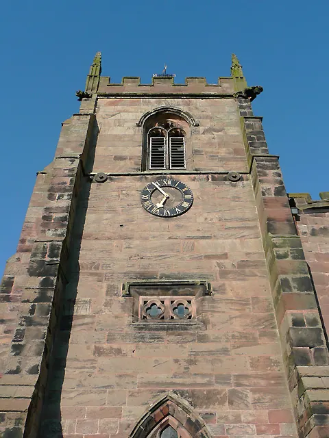
© Roger D Kidd · Geograph · CC BY-SA 2.0
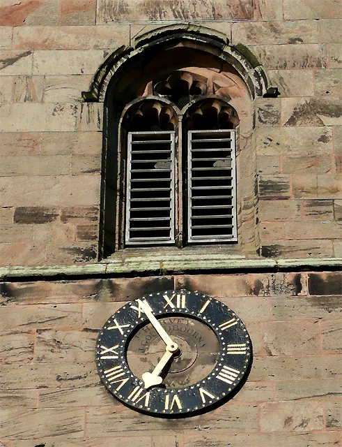
© Roger D Kidd · Geograph · CC BY-SA 2.0
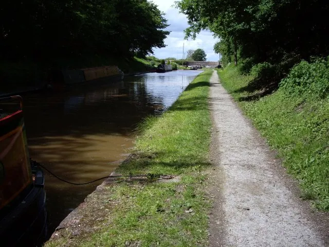
© Ian Bottomley · Geograph · CC BY-SA 2.0
Images © their respective photographers, licensed under CC BY-SA 2.0 and reused here with attribution. Photographs depict listed buildings, churches and monuments near this settlement and may show neighbouring villages.
Data derived from the Open Domesday project (opendomesday.org), based on the Domesday Book dataset compiled by Professor J.J.N. Palmer and team. The Domesday Book (1086) is in the public domain.
Found an inaccuracy? [email protected]