Attercliffe in the Domesday Book (1086)
The 1086 Domesday survey records the settlement of Attercliffe, entered under the hundred of Strafforth in Yorkshire. The survey assessed Attercliffe at 80 carucates of taxable land.
At the time of the survey, Attercliffe supported a recorded population of 48 villagers, 25 smallholders, working 38 ploughs between them.
By 1086 Attercliffe was worth 37.5 shillings, up from 12 shillings before the Conquest – which sets it apart from the many nearby villages left waste or devalued.
Resources Recorded at Attercliffe (1086)
- Mills: 1 mill (valued at 5d)
- Churches: 1
- Meadow: 8 acres
- Woodland: 200 swine render
Other Settlements in Strafforth
- Adwick [le Street]
- Adwick [upon Dearne]
- Armthorpe
- Aston
- Auckley
- Aughton [Hall]
- Austerfield
- Balby
- Barnbrough
- Barnby [Dun]
- Bentley
- Bilham [House]
- Billingley
- Bolton [upon Dearne]
The Meaning of the Name
The name Attercliffe is of Anglo-Saxon origin. Its final element derives from the Old English word clif, a cliff or steep slope. The first element is most likely a personal name or an early descriptive term, now difficult to recover with certainty. Taken together the name probably meant something close to ‘a slope’.
Remarkably, the name has changed little since 1086, when the Domesday scribes wrote it as Attercliffe.
Listed Buildings Near Attercliffe
Historic England records 40 listed buildings within about a mile of Attercliffe. Listing protects structures of special architectural or historic interest, graded I (exceptional), II* (particularly important) and II.
Grade II
- Former Trustee Savings Bank - 0.1 km
- Yorkshire Bank - 0.11 km
- 5, Birch Road - 0.22 km
- Baltic Works - 0.34 km
- Crucible Steel Works at Junction With Effingham Road - 0.34 km
- Bacon Lane Canal Bridge Sheffield and Tinsley Canal - 0.37 km
- 762 and 764, Attercliffe Road - 0.55 km
- Royal Bank of Scotland - 0.56 km
- Former Attercliffe National School - 0.57 km
- The Britannia Public House - 0.57 km
- Sandersons Weir on River Don - 0.58 km
- Pluto Works - 0.63 km
- Former Adelphi Cinema - 0.63 km
- Brown-firth Laboratories, Now English Pewter Company - 0.67 km
- Firths Norfolk West Gun Shop - 0.68 km
- President Works Offices - 0.7 km
- Caretakers House and Gateways at Kettlebridge Nursery First School - 0.71 km
- Atlas Works Offices - 0.72 km
- Canalside Warehouse of Gs Dilley and Sons - 0.73 km
- Entrance gateway to Thomas Firth and Sons Siemens Department - 0.74 km
- Darnall Canal Aqueduct and Adjoining Raised Footways Sheffield and Tinsley Canal - 0.75 km
- Kettlebridge Nursery First School - 0.77 km
- Railing and Gates at Kettlebridge Nursery First School - 0.78 km
- Workshop at Darnall Works Approximately 30 Metres South West of Number 20 (Number 20 Not Included) - 0.78 km
…and 16 more listed structures in the area.
Scheduled Monuments Near Attercliffe
Scheduled monuments are nationally important archaeological sites given legal protection. 1 lies within roughly a mile of Attercliffe:
Attercliffe Today
Today Attercliffe lies within the administrative area of Sheffield.
Read more about modern Attercliffe on Wikipedia .
Nearby Domesday Settlements
Other places recorded in the 1086 survey within a few miles:
- Grimeshou - 2.2 km NW
- Sheffield - 3.2 km W
- Tinsley - 3.6 km NE
- Brinsworth - 4.1 km E
- Handsworth - 4.5 km SE
- Orgreave - 5.4 km E
Heritage Around Attercliffe
Photographs of churches, listed buildings and monuments in the vicinity, contributed by volunteers to the Geograph project and reused here under a Creative Commons licence.
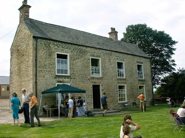
© Brian Ward · Geograph · CC BY-SA 2.0
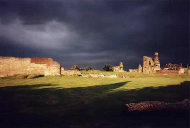
© Brian Ward · Geograph · CC BY-SA 2.0
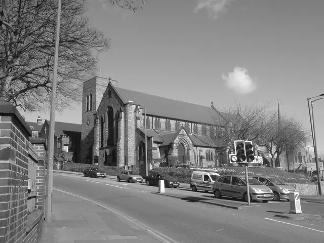
© Richard Newall · Geograph · CC BY-SA 2.0
Images © their respective photographers, licensed under CC BY-SA 2.0 and reused here with attribution. Photographs depict listed buildings, churches and monuments near this settlement and may show neighbouring villages.
Data derived from the Open Domesday project (opendomesday.org), based on the Domesday Book dataset compiled by Professor J.J.N. Palmer and team. The Domesday Book (1086) is in the public domain.
Found an inaccuracy? [email protected]