Aston in the Domesday Book (1086)
Aston appears in the Domesday Book of 1086, entered under the hundred of Strafforth in Yorkshire.
Other Settlements in Strafforth
- Adwick [le Street]
- Adwick [upon Dearne]
- Armthorpe
- Attercliffe
- Auckley
- Aughton [Hall]
- Austerfield
- Balby
- Barnbrough
- Barnby [Dun]
- Bentley
- Bilham [House]
- Billingley
- Bolton [upon Dearne]
The Meaning of the Name
The name Aston is of Anglo-Saxon origin. Its final element derives from the Old English word tūn, a farmstead or village. The first element is most likely a personal name or an early descriptive term, now difficult to recover with certainty. Taken together the name probably meant something close to ‘a farmstead’.
Remarkably, the name has changed little since 1086, when the Domesday scribes wrote it as Aston.
Listed Buildings Near Aston
Historic England records 16 listed buildings within about a mile of Aston. Listing protects structures of special architectural or historic interest, graded I (exceptional), II* (particularly important) and II.
Grade I
- Church of All Saints - 0.3 km
Grade II*
- Aughton Court - 0.41 km
Grade II
- Outbuilding Approximately 15 Metres to West of South Farm House - 0.07 km
- South Farm House - 0.08 km
- The Parish Council Reading Room - 0.1 km
- 22 and 24, Worksop Road - 0.13 km
- The Grange - 0.23 km
- High Trees - 0.26 km
- Entrance Gateway and Attached Railings at the Lodge - 0.27 km
- The Old Coach House - 0.28 km
- The Lodge - 0.29 km
- Gate Piers Approximately 12 Metres to East of Church of All Saints - 0.32 km
- Gravestone to Hill Family Situated Approximately 5 Metres to East of South Porch of Church of All Saints - 0.32 km
- East Wing, Coach House and West Wing, Aughton Court - 0.34 km
- Milepost Opposite Junction With Lodge Lane - 0.45 km
- Milepost Approximately 200 Metres South East of Junction With Lodge Lane - 1.05 km
Aston Today
Today Aston lies within the administrative area of Aston cum Aughton.
Read more about modern Aston on Wikipedia .
Nearby Domesday Settlements
Other places recorded in the 1086 survey within a few miles:
Heritage Around Aston
Photographs of churches, listed buildings and monuments in the vicinity, contributed by volunteers to the Geograph project and reused here under a Creative Commons licence.
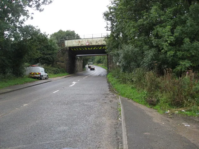
© Alan Heardman · Geograph · CC BY-SA 2.0
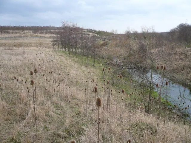
© Alan Heardman · Geograph · CC BY-SA 2.0
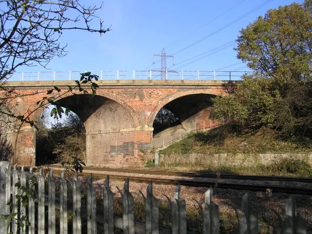
© David Morris · Geograph · CC BY-SA 2.0
Images © their respective photographers, licensed under CC BY-SA 2.0 and reused here with attribution. Photographs depict listed buildings, churches and monuments near this settlement and may show neighbouring villages.
Data derived from the Open Domesday project (opendomesday.org), based on the Domesday Book dataset compiled by Professor J.J.N. Palmer and team. The Domesday Book (1086) is in the public domain.
Found an inaccuracy? [email protected]