Aston in the Domesday Book (1086)
Aston appears in the Domesday Book of 1086, entered under the hundred of Blackwell in Derbyshire.
Other Settlements in Blackwell
- Abney
- Ashford [-in-the-Water]
- Bakewell
- Bamford
- Baslow
- Beeley
- Birchills
- Birchover
- Blackwell
- Bradwell
- Bubnell
- Burley
- Burton
- Calver
The Meaning of the Name
The name Aston is of Anglo-Saxon origin. Its final element derives from the Old English word tūn, a farmstead or village. The first element is most likely a personal name or an early descriptive term, now difficult to recover with certainty. Taken together the name probably meant something close to ‘a farmstead’.
Remarkably, the name has changed little since 1086, when the Domesday scribes wrote it as Aston.
Listed Buildings Near Aston
Historic England records 13 listed buildings within about a mile of Aston. Listing protects structures of special architectural or historic interest, graded I (exceptional), II* (particularly important) and II.
Grade II
- Aston Hall - 0.48 km
- Brough Bridge - 0.85 km
- Mile Post at Os 189 826 - 0.86 km
- Highfield Head Farmhouse and Attached Outbuilding - 0.89 km
- Mill Farmhouse - 0.92 km
- Burghwash Farmhouse and Attached Outbuilding - 1.02 km
- Mile Post at Sk 176 834 - 1.09 km
- Barn to North of Ryecroft Cottage Farmhouse - 1.13 km
- Barn to South East of Brough House - 1.15 km
- Brough House - 1.16 km
- Chapel Farmhouse and attached Outbuildings - 1.19 km
- War Memorial - 1.25 km
- Daggers House - 1.27 km
Scheduled Monuments Near Aston
Scheduled monuments are nationally important archaeological sites given legal protection. 5 lie within roughly a mile of Aston:
- Navio Roman fort and vicus - 0.88 km
- Anglian high cross in the churchyard of St Peter’s Church - 1.36 km
- Standing cross in the churchyard of St Peter’s Church - 1.36 km
- Wayside cross known as Eccles Cross - 1.37 km
- Hope Motte - 1.45 km
Aston Today
Today Aston lies within the administrative area of High Peak, and the settlement recorded a population of 75 at the 2021 census. Nine and a half centuries separate that figure from the small rural community the Domesday survey recorded here in 1086.
Read more about modern Aston on Wikipedia .
Nearby Domesday Settlements
Other places recorded in the 1086 survey within a few miles:
Heritage Around Aston
Photographs of churches, listed buildings and monuments in the vicinity, contributed by volunteers to the Geograph project and reused here under a Creative Commons licence.
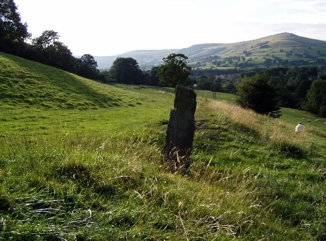
© Mark Dunn · Geograph · CC BY-SA 2.0
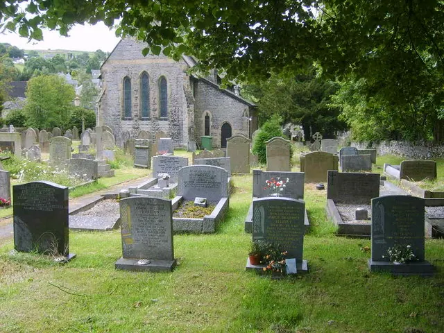
© William Metcalfe · Geograph · CC BY-SA 2.0

© Humphrey Bolton · Geograph · CC BY-SA 2.0
Images © their respective photographers, licensed under CC BY-SA 2.0 and reused here with attribution. Photographs depict listed buildings, churches and monuments near this settlement and may show neighbouring villages.
Data derived from the Open Domesday project (opendomesday.org), based on the Domesday Book dataset compiled by Professor J.J.N. Palmer and team. The Domesday Book (1086) is in the public domain.
Found an inaccuracy? [email protected]