Aston in the Domesday Book (1086)
Aston appears in the Domesday Book of 1086, entered under the hundred of Appletree in Derbyshire.
Other Settlements in Appletree
- Alkmonton
- Ashe
- Barton [Blount]
- Bentley
- Boylestone
- Bradley
- Brailsford
- Bupton
- Clifton
- Doveridge
- Eaton [Dovedale]
- Edlaston
- Ednaston
- Fenton
The Meaning of the Name
The name Aston is of Anglo-Saxon origin. Its final element derives from the Old English word tūn, a farmstead or village. The first element is most likely a personal name or an early descriptive term, now difficult to recover with certainty. Taken together the name probably meant something close to ‘a farmstead’.
Remarkably, the name has changed little since 1086, when the Domesday scribes wrote it as Aston.
Listed Buildings Near Aston
Historic England records 32 listed buildings within about a mile of Aston. Listing protects structures of special architectural or historic interest, graded I (exceptional), II* (particularly important) and II.
Grade II
- Aston Bridge - 0.44 km
- Sudbury County School - 0.66 km
- School House - 0.68 km
- 2, 3, 4 and 5, Main Road - 0.69 km
- Stocks adjacent to 4 Main Road - 0.7 km
- The Cottage - 0.71 km
- 5A and 6, Main Road - 0.72 km
- 7, Main Road - 0.73 km
- The Laurels - 0.74 km
- 84 and 85, Main Road - 0.74 km
- 8, Main Road - 0.74 km
- Old Gas Works - 0.74 km
- 11, School Lane - 0.74 km
- White House - 0.75 km
- Butchers House and Shop and Number 10 - 0.75 km
- 16 and 17, Main Road - 0.77 km
- Brook House - 0.78 km
- Vernon Arms Hotel and Attached Stables - 0.8 km
- Footbridge at East End of Lake in Sudbury Park - 0.84 km
- Estate Office and Attached Walls and Outbuildings - 0.85 km
- Pair of Lodges, Gates and Walls to North of Sudbury Hall - 0.86 km
- Sudbury Crossing Signal Box - 0.87 km
- Stabling at Hall - 0.88 km
- Leathersley Farm House - 0.93 km
…and 8 more listed structures in the area.
Aston Today
Today Aston lies within the administrative area of Sudbury.
Read more about modern Aston on Wikipedia .
Nearby Domesday Settlements
Other places recorded in the 1086 survey within a few miles:
- Sudbury - 1.0 km N
- Foston - 2.0 km E
- Scropton - 3.2 km E
- Sapperton - 3.6 km NE
- Church Broughton - 4.5 km NE
- Boylestone - 4.5 km NE
Heritage Around Aston
Photographs of churches, listed buildings and monuments in the vicinity, contributed by volunteers to the Geograph project and reused here under a Creative Commons licence.
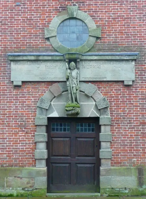
© Humphrey Bolton · Geograph · CC BY-SA 2.0
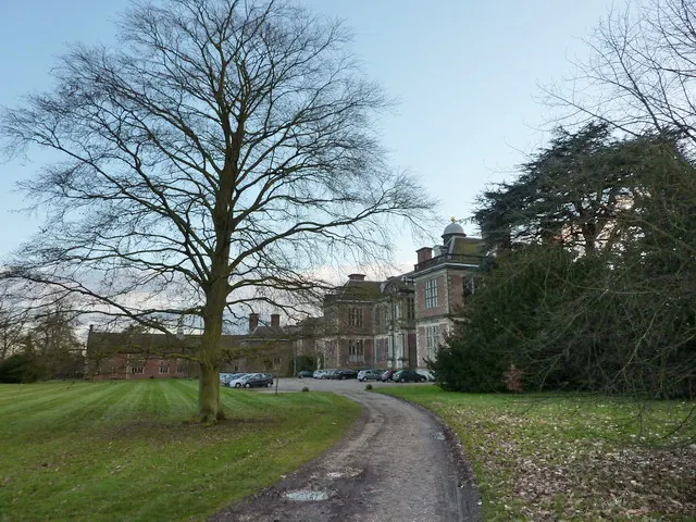
© Alexander P Kapp · Geograph · CC BY-SA 2.0
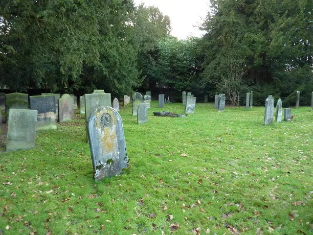
© Alexander P Kapp · Geograph · CC BY-SA 2.0
Images © their respective photographers, licensed under CC BY-SA 2.0 and reused here with attribution. Photographs depict listed buildings, churches and monuments near this settlement and may show neighbouring villages.
Data derived from the Open Domesday project (opendomesday.org), based on the Domesday Book dataset compiled by Professor J.J.N. Palmer and team. The Domesday Book (1086) is in the public domain.
Found an inaccuracy? [email protected]