Askrigg in the Domesday Book (1086)
The 1086 Domesday survey records the settlement of Askrigg, entered under the hundred of Land of Count Alan in Yorkshire.
Other Settlements in Land of Count Alan
- Achebi
- Agglethorpe
- Ainderby [Mires]
- Ainderby [Quernhow]
- Aiskew
- Aldbrough
- Allerthorpe [Hall]
- Ascam
- Ascham
- Asebi
- Aske [Hall]
- Aysgarth
- Baldersby
- Barden
The Meaning of the Name
The name Askrigg is of Scandinavian origin. Its final element derives from the Old Norse word hryggr, a ridge. The first element is most likely a personal name or an early descriptive term, now difficult to recover with certainty. Taken together the name probably meant something close to ‘a ridge’.
Names of this type are a fingerprint of Scandinavian settlement: they cluster across the old Danelaw, where Norse-speaking settlers renamed or founded villages from the late 9th century onward.
Remarkably, the name has changed little since 1086, when the Domesday scribes wrote it as Askrigg.
Listed Buildings Near Askrigg
Historic England records 33 listed buildings within about a mile of Askrigg. Listing protects structures of special architectural or historic interest, graded I (exceptional), II* (particularly important) and II.
Grade I
- Church of Saint Oswald - 0.49 km
Grade II*
- West End House - 0.46 km
Grade II
- West Mill - 0.39 km
- Croft House - 0.43 km
- Flax Mill Farm - 0.44 km
- Coach House and Stable Block - 0.44 km
- Kennels Below Forecourt of Stable Block - 0.45 km
- Outbuilding Approximately 3 Metres to North of the Lodge - 0.45 km
- Woodburn House and Railings - 0.46 km
- Wall Running From the Stable Block, Lodge Yard, to the Lodge, and Doorway to the Lodge - 0.46 km
- The Cottage - 0.46 km
- The Lodge - 0.46 km
- Peninver House - 0.46 km
- The Wool Room - 0.47 km
- Wool Room Cottage - 0.47 km
- New Row and Railings - 0.49 km
- Pump - 0.49 km
- House and Shop of Mr and Mrs Hunt - 0.49 km
- The Manor House - 0.49 km
- Robinson’s Gateways and Archway House - 0.5 km
- Former Conservative Club - 0.5 km
- Market Cross - 0.5 km
- The King’s Arms Hotel - 0.5 km
- Wendal and House to North-east - 0.51 km
…and 9 more listed structures in the area.
Scheduled Monuments Near Askrigg
Scheduled monuments are nationally important archaeological sites given legal protection. 3 lie within roughly a mile of Askrigg:
- Ring cairn 580m west of Askrigg church - 0.64 km
- Bow Bridge 90m east of Bowbridge Hill - 1.25 km
- Bainbridge Roman fort and annexe - 1.56 km
Askrigg Today
Today Askrigg lies within the administrative area of Richmondshire, and the settlement recorded a population of 412 at the 2021 census. Nine and a half centuries separate that figure from the small rural community the Domesday survey recorded here in 1086.
Read more about modern Askrigg on Wikipedia .
Nearby Domesday Settlements
Other places recorded in the 1086 survey within a few miles:
- Denton - 0.0 km N
- Dentone - 0.0 km N
- Worton - 1.4 km SE
- Brough Hill - 1.4 km SW
- Fors Abbey - 1.4 km SW
- Thornton Rust - 4.2 km SE
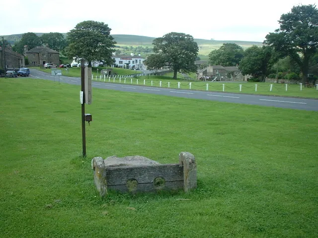
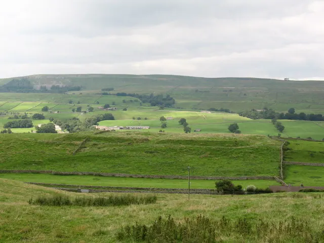
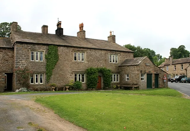
Heritage Around Askrigg
Photographs of churches, listed buildings and monuments in the vicinity, contributed by volunteers to the Geograph project and reused here under a Creative Commons licence.
© Adie Jackson · Geograph · CC BY-SA 2.0
© Gordon Hatton · Geograph · CC BY-SA 2.0
© David Pickersgill · Geograph · CC BY-SA 2.0
Images © their respective photographers, licensed under CC BY-SA 2.0 and reused here with attribution. Photographs depict listed buildings, churches and monuments near this settlement and may show neighbouring villages.
Location
54.3189°N, -2.0846°W · Land of Count Alan hundred, Yorkshire
View larger map on OpenStreetMap →Data derived from the Open Domesday project (opendomesday.org), based on the Domesday Book dataset compiled by Professor J.J.N. Palmer and team. The Domesday Book (1086) is in the public domain.
Found an inaccuracy? [email protected]