Aske Hall in the Domesday Book (1086)
The 1086 Domesday survey records the settlement of Aske Hall, entered under the hundred of Land of Count Alan in Yorkshire.
Other Settlements in Land of Count Alan
- Achebi
- Agglethorpe
- Ainderby [Mires]
- Ainderby [Quernhow]
- Aiskew
- Aldbrough
- Allerthorpe [Hall]
- Ascam
- Ascham
- Asebi
- Askrigg
- Aysgarth
- Baldersby
- Barden
The Meaning of the Name
The origin of the name Aske Hall is not securely established from its modern form alone; like many settlement names in the North it likely combines an Old English or Old Norse personal name with a landscape term.
Remarkably, the name has changed little since 1086, when the Domesday scribes wrote it as Aske Hall.
Listed Buildings Near Aske Hall
Historic England records 19 listed buildings within about a mile of Aske Hall. Listing protects structures of special architectural or historic interest, graded I (exceptional), II* (particularly important) and II.
Grade I
- Aske Hall - 0.18 km
- The Temple - 0.18 km
Grade II*
- Chapel Range - 0.18 km
- Summer House Approximately 150 Metres South West of Gillingwood Hall - 1.29 km
Grade II
- Summer House - 0.11 km
- Old Water Tower - 0.12 km
- Coach House - 0.14 km
- Social Club - 0.16 km
- Wall and Gate Piers Linking Chapel Range With Coach-house - 0.17 km
- Gateway to North-east of Aske Hall - 0.29 km
- Gateway to South of Aske Hall - 0.34 km
- Stable Block of Aske Hall - 0.38 km
- Fish Pond Temple - 0.5 km
- Aske Bridge - 0.65 km
- Low Lodge - 0.78 km
- Milepost Almost Opposite Low Lodge - 0.79 km
- Gateway Approximately 3 Metres South of Low Lodge - 0.79 km
- High Lodges of Aske Hall - 1.09 km
- Bell Park Pavilion approximately 100 metres south of Gillingwood Hall - 1.26 km
Scheduled Monuments Near Aske Hall
Scheduled monuments are nationally important archaeological sites given legal protection. 2 lie within roughly a mile of Aske Hall:
- Section of Scots Dyke linear boundary 150m ENE of Olliver - 1.16 km
- Section of Scots Dyke linear boundary running south from Olliver East for 550m - 1.25 km
Aske Hall Today
Today Aske Hall lies within the administrative area of Richmondshire, and the settlement recorded a population of 92 at the 2021 census. Nine and a half centuries separate that figure from the small rural community the Domesday survey recorded here in 1086.
Read more about modern Aske on Wikipedia .
Nearby Domesday Settlements
Other places recorded in the 1086 survey within a few miles:
Heritage Around Aske [Hall]
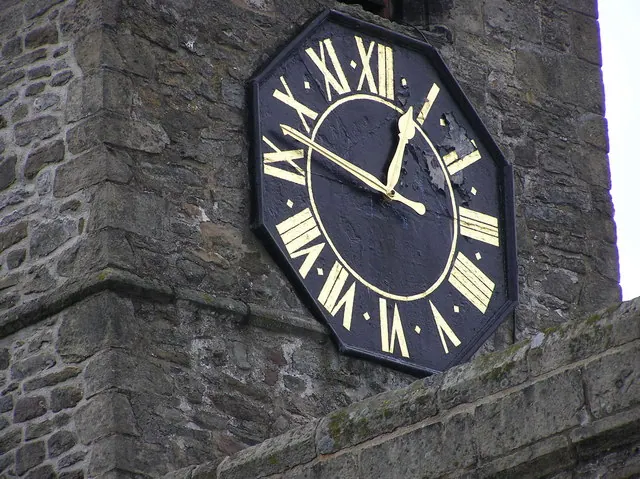
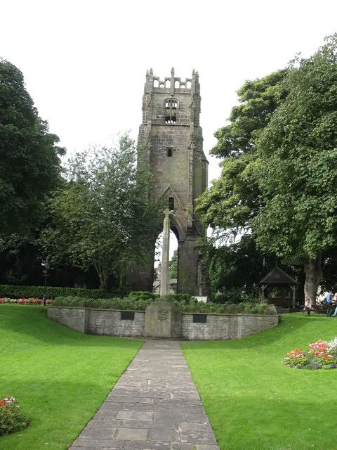
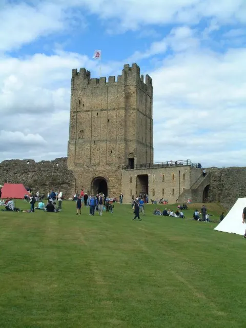
Photographs of churches, listed buildings and monuments in the vicinity, contributed by volunteers to the Geograph project and reused here under a Creative Commons licence.
© Hugh Mortimer · Geograph · CC BY-SA 2.0
© Gordon Hatton · Geograph · CC BY-SA 2.0
© James Allan · Geograph · CC BY-SA 2.0
Images © their respective photographers, licensed under CC BY-SA 2.0 and reused here with attribution. Photographs depict listed buildings, churches and monuments near this settlement and may show neighbouring villages.
Location
54.4265°N, -1.7302°W · Land of Count Alan hundred, Yorkshire
View larger map on OpenStreetMap →Data derived from the Open Domesday project (opendomesday.org), based on the Domesday Book dataset compiled by Professor J.J.N. Palmer and team. The Domesday Book (1086) is in the public domain.
Found an inaccuracy? [email protected]