Ashton -under-Lyne in the Domesday Book (1086)
Ashton -under-Lyne is named in the Domesday Book, compiled by Norman commissioners in 1086, entered under the hundred of Salford in Cheshire.
Other Settlements in Salford
The Meaning of the Name
The name Ashton -under-Lyne is of Anglo-Saxon origin. Its final element derives from the Old English word tūn, a farmstead or village, while the first element appears to represent ash-trees (OE æsc). Taken together the name probably meant something close to ’the ash-trees farmstead’.
Remarkably, the name has changed little since 1086, when the Domesday scribes wrote it as Ashton -under-Lyne.
Listed Buildings Near Ashton -under-Lyne
Historic England records 35 listed buildings within about a mile of Ashton -under-Lyne. Listing protects structures of special architectural or historic interest, graded I (exceptional), II* (particularly important) and II.
Grade I
- Church of St Michael and All Angels - 0.72 km
Grade II*
- Ashton-under-Lyne and District War Memorial - 0.75 km
- Albion Warehouse - 0.75 km
- Former Municipal Baths - 0.82 km
Grade II
- Christ Church - 0.3 km
- Careers Office That Part of the Civic Offices Which Was Formerly the Water Board Offices - 0.35 km
- Ashton Under Lyne Town Hall - 0.37 km
- Holy Trinity School - 0.42 km
- Vicarage to Holy Trinity Church - 0.44 km
- Boundary Wall, Railings and Entrance Gateways Enclosing Holy Trinity Church, School and Vicarage - 0.45 km
- Tameside Hippodrome - 0.45 km
- Holy Trinity Church - 0.47 km
- Market Hall - 0.47 km
- K6 Telephone Kiosk Outside Market Hall - 0.51 km
- Ashton Public Library - 0.52 km
- Former Post Office - 0.53 km
- Church of St James - 0.57 km
- No. 230, STAMFORD STREET - 0.59 km
- Oddfellows Hall, the Former Assheton Arms - 0.62 km
- The Methodist Church - 0.63 km
- 121, Stamford Street - 0.68 km
- John Leech Grave Headstone Adjacent to Porch of St Michael and All Angels’ Church - 0.7 km
- St Michael’s House - 0.71 km
- Gatepiers, overthrows and railings at south-west and south entrances to Ashton-under-Lyne Memorial Gardens - 0.72 km
…and 11 more listed structures in the area.
Ashton -under-Lyne Today
Today Ashton -under-Lyne lies within the administrative area of Tameside, and the settlement recorded a population of 45,198 at the 2011 census. Nine and a half centuries separate that figure from the small rural community the Domesday survey recorded here in 1086.
Read more about modern Ashton-under-Lyne on Wikipedia .
Nearby Domesday Settlements
Other places recorded in the 1086 survey within a few miles:
- Bredbury - 7.1 km S
- Werneth - 7.3 km S
- Hollingworth - 7.6 km SE
- Romiley - 9.0 km S
- Tintwistle - 9.2 km E
- Hadfield - 9.5 km E
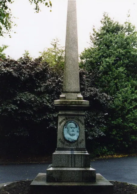
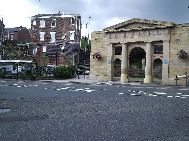
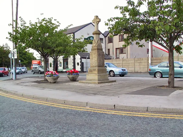
Heritage Around Ashton [-under-Lyne]
Photographs of churches, listed buildings and monuments in the vicinity, contributed by volunteers to the Geograph project and reused here under a Creative Commons licence.
© S Parish · Geograph · CC BY-SA 2.0
© david nike · Geograph · CC BY-SA 2.0
© Roger May · Geograph · CC BY-SA 2.0
Images © their respective photographers, licensed under CC BY-SA 2.0 and reused here with attribution. Photographs depict listed buildings, churches and monuments near this settlement and may show neighbouring villages.
Data derived from the Open Domesday project (opendomesday.org), based on the Domesday Book dataset compiled by Professor J.J.N. Palmer and team. The Domesday Book (1086) is in the public domain.
Found an inaccuracy? [email protected]