Ashton on Ribble in the Domesday Book (1086)
Ashton on Ribble is named in the Domesday Book, compiled by Norman commissioners in 1086, entered under the hundred of Amounderness in Yorkshire.
Other Settlements in Amounderness
- Aighton
- Aldcliffe
- Aldingham
- Arkholme
- Aschebi
- Ashton [Hall]
- Austwick
- Barbon
- Bardsea
- Bare
- Barnoldswick
- Barton
- Beetham
- Bispham
The Meaning of the Name
The name Ashton on Ribble is of Anglo-Saxon origin. Its final element derives from the Old English word tūn, a farmstead or village, while the first element appears to represent ash-trees (OE æsc). Taken together the name probably meant something close to ’the ash-trees farmstead’.
Remarkably, the name has changed little since 1086, when the Domesday scribes wrote it as Ashton on Ribble.
Listed Buildings Near Ashton on Ribble
Historic England records 29 listed buildings within about a mile of Ashton on Ribble. Listing protects structures of special architectural or historic interest, graded I (exceptional), II* (particularly important) and II.
Grade I
- Church of St Walburge - 0.72 km
Grade II*
- Former Church of St Mark - 0.61 km
- Church of St Michael - 0.81 km
- St Peter’s Arts Centre, University of Central Lancashire - 0.99 km
Grade II
- Brookhouse Mill - 0.05 km
- Chimney to Tulketh Mill, Approximately 20 Metres South of Mill - 0.45 km
- Tulketh Mill - 0.49 km
- Railway bridge, with viaduct and former bridge approximately 100 metres north - 0.53 km
- Emmanuel Church - 0.56 km
- Wellington Terrace - 0.62 km
- Former Talbot Roman Catholic Primary School - 0.65 km
- Lamp Posts at Entrance to Haslam Park - 0.76 km
- Entrance Gates to Haslam Park - 0.77 km
- Moss Cottage - 0.77 km
- Former Moss Mill - 0.88 km
- Drinking Fountain North of Main Drive, Parallel With Railway - 0.91 km
- St Andrews Vicarage - 0.98 km
- Church of St Andrew - 1.0 km
- Canal Aqueduct, Numbered 13, Approximately 300 Metres South of Canal Bridge no 14 - 1.0 km
- Gate Piers, Gates and Retaining Wall to Churchyard of Former Church of St Peter - 1.0 km
- Moor Park Hotel - 1.02 km
- St Andrews School (1842 and 1869 Ranges Only) - 1.05 km
- Former Moor Park Methodist Church - 1.06 km
- The Unicorn Hotel - 1.07 km
…and 5 more listed structures in the area.
Scheduled Monuments Near Ashton on Ribble
Scheduled monuments are nationally important archaeological sites given legal protection. 1 lies within roughly a mile of Ashton on Ribble:
- Castle Hill motte - 1.41 km
Ashton on Ribble Today
Today Ashton on Ribble lies within the administrative area of Preston, and the settlement recorded a population of 8,700 at recent figures. Nine and a half centuries separate that figure from the small rural community the Domesday survey recorded here in 1086.
Read more about modern Ashton-on-Ribble on Wikipedia .
Nearby Domesday Settlements
Other places recorded in the 1086 survey within a few miles:
- Preston - 2.2 km SE
- Higher and Lower Penwortham - 2.2 km SE
- Walton -le-Dale - 3.6 km SE
- Lea - 4.0 km W
- Broughton - 4.0 km N
- Fishwick - 4.1 km E
Heritage Around Ashton [on Ribble]
Photographs of churches, listed buildings and monuments in the vicinity, contributed by volunteers to the Geograph project and reused here under a Creative Commons licence.
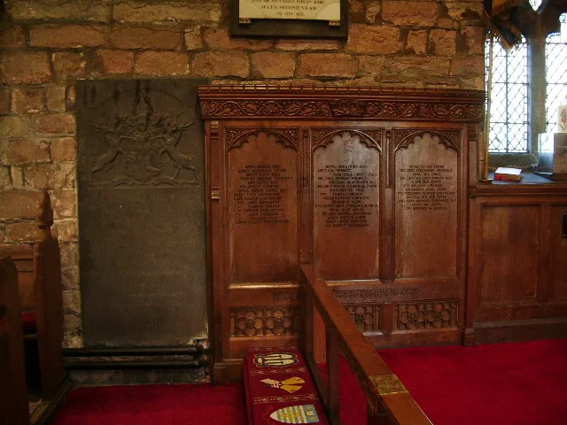
© Alexander P Kapp · Geograph · CC BY-SA 2.0
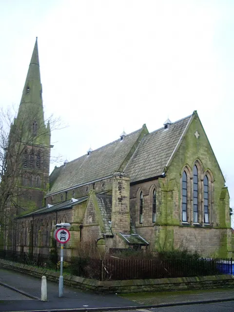
© Alexander P Kapp · Geograph · CC BY-SA 2.0
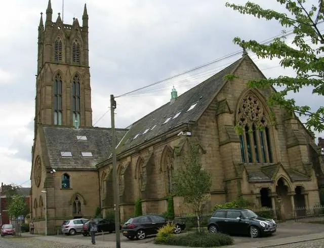
© Betty Longbottom · Geograph · CC BY-SA 2.0
Images © their respective photographers, licensed under CC BY-SA 2.0 and reused here with attribution. Photographs depict listed buildings, churches and monuments near this settlement and may show neighbouring villages.
Data derived from the Open Domesday project (opendomesday.org), based on the Domesday Book dataset compiled by Professor J.J.N. Palmer and team. The Domesday Book (1086) is in the public domain.
Found an inaccuracy? [email protected]