Ashton Hall in the Domesday Book (1086)
The 1086 Domesday survey records the settlement of Ashton Hall, entered under the hundred of Amounderness in Yorkshire.
Other Settlements in Amounderness
- Aighton
- Aldcliffe
- Aldingham
- Arkholme
- Aschebi
- Ashton [on Ribble]
- Austwick
- Barbon
- Bardsea
- Bare
- Barnoldswick
- Barton
- Beetham
- Bispham
The Meaning of the Name
The name Ashton Hall is of Anglo-Saxon origin. Its final element derives from the Old English word tūn, a farmstead or village, while the first element appears to represent ash-trees (OE æsc). Taken together the name probably meant something close to ’the ash-trees farmstead’.
Remarkably, the name has changed little since 1086, when the Domesday scribes wrote it as Ashton Hall.
Listed Buildings Near Ashton Hall
Historic England records 13 listed buildings within about a mile of Ashton Hall. Listing protects structures of special architectural or historic interest, graded I (exceptional), II* (particularly important) and II.
Grade I
- Ashton Hall - 0.46 km
Grade II*
- Ashton Hall Gatehouse - 0.49 km
- Former Stable Block West of Ashton Hall - 0.51 km
Grade II
- Conduit Mouth Approx. 45 Metres North of Ashton Hall - 0.46 km
- Wall on North Side of Courtyard West of Ashton Hall - 0.48 km
- Mounting Block South of Gatehouse, Ashton Hall - 0.49 km
- Wall on South and West Side of Courtyard West of Ashton Hall - 0.49 km
- Ice House North-west of Ashton Hall - 0.65 km
- Brantbeck Bridge - 0.68 km
- Burrow Beck Bridge (No.92) - 0.78 km
- Ashton Park Bridge (No. 90) - 0.81 km
- Burrow Heights Cottages - 1.04 km
- Lancaster Canal Carr Lane Bridge (That Part in Lancaster District) - 1.21 km
Ashton Hall Today
Today Ashton Hall lies within the administrative area of Thurnham.
Read more about modern Ashton with Stodday on Wikipedia .
Nearby Domesday Settlements
Other places recorded in the 1086 survey within a few miles:
Heritage Around Ashton [Hall]
Photographs of churches, listed buildings and monuments in the vicinity, contributed by volunteers to the Geograph project and reused here under a Creative Commons licence.
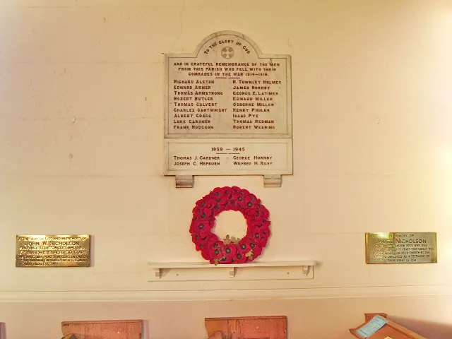
© Alexander P Kapp · Geograph · CC BY-SA 2.0
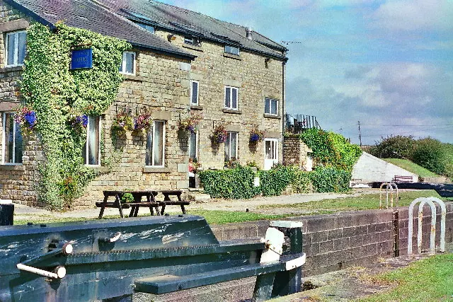
© Mike and Kirsty Grundy · Geograph · CC BY-SA 2.0
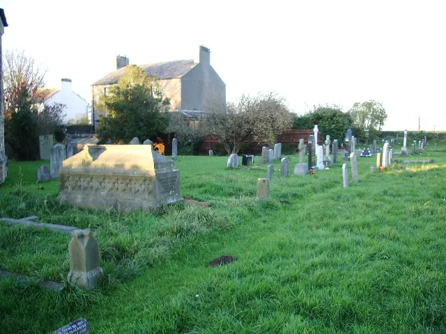
© Alexander P Kapp · Geograph · CC BY-SA 2.0
Images © their respective photographers, licensed under CC BY-SA 2.0 and reused here with attribution. Photographs depict listed buildings, churches and monuments near this settlement and may show neighbouring villages.
Data derived from the Open Domesday project (opendomesday.org), based on the Domesday Book dataset compiled by Professor J.J.N. Palmer and team. The Domesday Book (1086) is in the public domain.
Found an inaccuracy? [email protected]