Ashover in the Domesday Book (1086)
The 1086 Domesday survey records the settlement of Ashover, entered under the hundred of Scarsdale in Derbyshire.
Other Settlements in Scarsdale
- Alfreton
- Barlborough
- Barlow
- Beighton
- Blingsby
- Bolsover
- Boythorpe
- Bramley [Vale]
- Brimington
- Calow
- Chesterfield
- Clowne
- Dore
- Dronfield
The Meaning of the Name
The origin of the name Ashover is not securely established from its modern form alone; like many settlement names in the North it likely combines an Old English or Old Norse personal name with a landscape term.
Remarkably, the name has changed little since 1086, when the Domesday scribes wrote it as Ashover.
Listed Buildings Near Ashover
Historic England records 43 listed buildings within about a mile of Ashover. Listing protects structures of special architectural or historic interest, graded I (exceptional), II* (particularly important) and II.
Grade I
- Church of All Saints - 0.43 km
Grade II
- Stable Block to North of Butts Grange - 0.27 km
- Butts Grange - 0.32 km
- Butts House - 0.32 km
- Cemetery Chapel - 0.34 km
- Lime Tree House - 0.4 km
- House Adjoining Lime Tree House to the South - 0.4 km
- Spring Cottage - 0.41 km
- Weavers Cottages - 0.42 km
- The Crispin Inn - 0.42 km
- Pear Tree Farmhouse - 0.42 km
- Hill Cottage - 0.42 km
- Group of 4 Tomb Chests Approximately 20 Metres North East of Church of All Saints - 0.43 km
- Gatepiers to East of Church of All Saints - 0.43 km
- Rose Cottage - 0.45 km
- Gatepiers and Steps to the South of Church of All Saints - 0.45 km
- The Former National Girls School - 0.46 km
- Table Tomb Approximately 12 Metres South of Church of All Saints - 0.46 km
- Outbuilding to the South West of the Old Rectory, and Attached Boundary Wall - 0.48 km
- The Old Rectory - 0.48 km
- Over Asher - 0.48 km
- Churchside Cottage - 0.48 km
- Old Post Office Cottage - 0.49 km
- The Cottage - 0.49 km
…and 19 more listed structures in the area.
Ashover Today
Today Ashover lies within the administrative area of North East Derbyshire, and the settlement recorded a population of 1,959 at the 2021 census. Nine and a half centuries separate that figure from the small rural community the Domesday survey recorded here in 1086.
Read more about modern Ashover on Wikipedia .
Nearby Domesday Settlements
Other places recorded in the 1086 survey within a few miles:
Heritage Around Ashover
Photographs of churches, listed buildings and monuments in the vicinity, contributed by volunteers to the Geograph project and reused here under a Creative Commons licence.
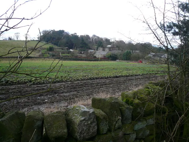
© Alan Heardman · Geograph · CC BY-SA 2.0
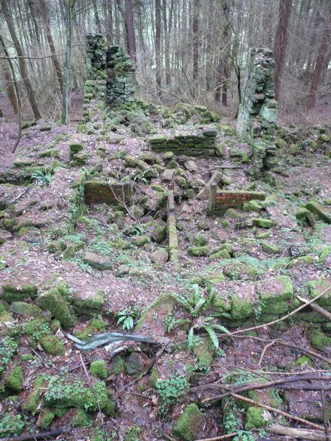
© Alan Heardman · Geograph · CC BY-SA 2.0
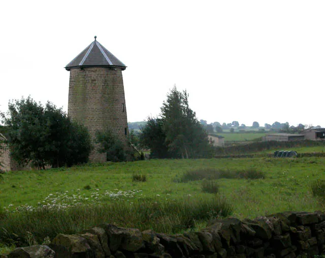
© Roger Temple · Geograph · CC BY-SA 2.0
Images © their respective photographers, licensed under CC BY-SA 2.0 and reused here with attribution. Photographs depict listed buildings, churches and monuments near this settlement and may show neighbouring villages.
Data derived from the Open Domesday project (opendomesday.org), based on the Domesday Book dataset compiled by Professor J.J.N. Palmer and team. The Domesday Book (1086) is in the public domain.
Found an inaccuracy? [email protected]