Ashley in the Domesday Book (1086)
Ashley appears in the Domesday Book of 1086, entered under the hundred of Bucklow in Cheshire.
By 1086 Ashley was worth 40 shillings, up from 18 shillings before the Conquest – one of the few settlements in the area to hold its value through the upheaval.
The survey lists 8 manors at Ashley under different lords. Splitting a single settlement between multiple tenants was common across the North – Saxon estates broken up and handed to William’s followers after 1066.
Resources Recorded at Ashley (1086)
- Mills: 2 mills
- Churches: 3
Other Settlements in Bucklow
- Appleton
- Aston [by Budworth]
- Aston [by Sutton]
- Bartington
- Clifton
- Dunham [Massey]
- Eanley
- Grappenhall
- Lymm
- Mobberley
- Northenden
- Norton
- Ollerton
- Tatton
The Meaning of the Name
The name Ashley is of Anglo-Saxon origin. Its final element derives from the Old English word lēah, a woodland clearing or glade, while the first element appears to represent ash-trees (OE æsc). Taken together the name probably meant something close to ’the ash-trees clearing’.
Remarkably, the name has changed little since 1086, when the Domesday scribes wrote it as Ashley.
Listed Buildings Near Ashley
Historic England records 16 listed buildings within about a mile of Ashley. Listing protects structures of special architectural or historic interest, graded I (exceptional), II* (particularly important) and II.
Grade II
- Guidepost at the junction of Back Lane and Mobberley Road - 0.25 km
- Church of St Elizabeth - 0.37 km
- Tanyard Farmhouse - 0.43 km
- Eastern Block of Farm Courtyard at Tanyard Farm - 0.44 km
- Hough Green Farmhouse - 0.46 km
- Guidepost at the junction of Cow Lane and Castle Mill Lane - 0.48 km
- South Lodge - 0.49 km
- Guidepost, at the junction of Castle Mill Lane and Tanyard Lane - 0.52 km
- Sycamore Cottage - 0.62 km
- Carriage House in Forecourt at Ashley Hall Farm - 0.74 km
- Stable Block at Ashley Hall Farm - 0.77 km
- Gatepiers to Forecourt at Ashley Hall Farm - 0.83 km
- Ashley Hall Farm Kitchen Garden Wall - 0.85 km
- Ashley Hall Farm - 0.86 km
- Lower House Farmhouse - 1.13 km
- Storage Building at Coppice Nursery - 1.19 km
Ashley Today
Today Ashley lies within the administrative area of Cheshire East, and the settlement recorded a population of 358 at the 2021 census. Nine and a half centuries separate that figure from the small rural community the Domesday survey recorded here in 1086.
Read more about modern Ashley on Wikipedia .
Nearby Domesday Settlements
Other places recorded in the 1086 survey within a few miles:
Heritage Around Ashley
Photographs of churches, listed buildings and monuments in the vicinity, contributed by volunteers to the Geograph project and reused here under a Creative Commons licence.
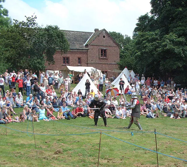
© Gary Rogers · Geograph · CC BY-SA 2.0
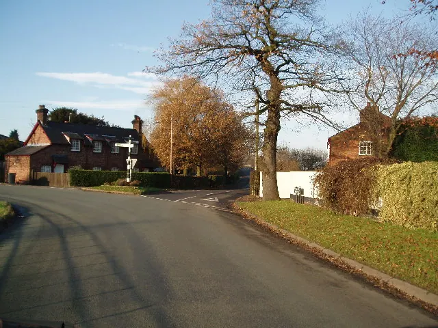
© Ian Warburton · Geograph · CC BY-SA 2.0
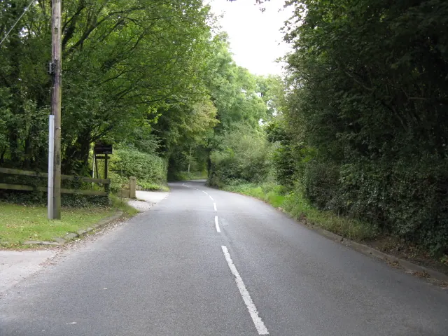
© Peter Whatley · Geograph · CC BY-SA 2.0
Images © their respective photographers, licensed under CC BY-SA 2.0 and reused here with attribution. Photographs depict listed buildings, churches and monuments near this settlement and may show neighbouring villages.
Data derived from the Open Domesday project (opendomesday.org), based on the Domesday Book dataset compiled by Professor J.J.N. Palmer and team. The Domesday Book (1086) is in the public domain.
Found an inaccuracy? [email protected]