Ashford -in-the-Water in the Domesday Book (1086)
The settlement of Ashford -in-the-Water is recorded in William I’s Domesday survey of 1086, entered under the hundred of Blackwell in Derbyshire. The survey assessed Ashford -in-the-Water at 4 carucates of taxable land.
At the time of the survey, Ashford -in-the-Water supported a recorded population of 6 villagers, working 7 ploughs between them.
The valuation dropped between 1066 and 1086. Before 1066, Ashford -in-the-Water was worth 3 shillings; by 1086 that had dropped to 2 shillings – a fall of 33%. Most Yorkshire villages that lost value on this scale were swept up in the Harrying of the North – William’s scorched-earth campaign of 1069–70.
Resources Recorded at Ashford -in-the-Water (1086)
- Meadow: 12 acres
- Woodland: 2.5 * 2 leagues
Other Settlements in Blackwell
The Meaning of the Name
The name Ashford -in-the-Water is of Anglo-Saxon origin. Its final element derives from the Old English word ford, a river crossing, while the first element appears to represent ash-trees (OE æsc). Taken together the name probably meant something close to ’the ash-trees ford’.
Remarkably, the name has changed little since 1086, when the Domesday scribes wrote it as Ashford -in-the-Water.
Listed Buildings Near Ashford -in-the-Water
Historic England records 51 listed buildings within about a mile of Ashford -in-the-Water. Listing protects structures of special architectural or historic interest, graded I (exceptional), II* (particularly important) and II.
Grade II*
- Sheepwash Bridge - 0.22 km
Grade II
- 6, Watts Green - 0.22 km
- The Mill - 0.24 km
- Great Batch - 0.25 km
- Gate Piers and Attached Walls to East of Riverside Hotel - 0.26 km
- Churchyard Cross - 0.26 km
- Chantry Cottage - 0.27 km
- Old Tithe Barn - 0.27 km
- Church of Holy Trinity - 0.27 km
- Dovecote and attached wall to east of Riverside Hotel - 0.27 km
- Clifton House and Brushfield House - 0.28 km
- Honeysuckle Cottage - 0.28 km
- Bull’s Head Inn - 0.28 km
- Riverside Hotel - 0.29 km
- Old Mill House - 0.29 km
- The Retreat - 0.29 km
- The Ashford Arms Hotel - 0.29 km
- Ardrock Cottage - 0.3 km
- Milepost at Sk 1966 6974 - 0.3 km
- Well to North of Riverside Hotel - 0.31 km
- Mill Bridge - 0.31 km
- The Old Forge - 0.32 km
- 1 and 2, Greaves Lane - 0.32 km
- The Candle House - 0.32 km
…and 27 more listed structures in the area.
Scheduled Monuments Near Ashford -in-the-Water
Scheduled monuments are nationally important archaeological sites given legal protection. 3 lie within roughly a mile of Ashford -in-the-Water:
- ‘Sheepwash’ Bridge - 0.22 km
- Ashford Bridge - 0.31 km
- Lumford Mill, Bakewell - 1.34 km
Ashford -in-the-Water Today
Today Ashford -in-the-Water lies within the administrative area of Derbyshire Dales, and the settlement recorded a population of 420 at the 2021 census. Nine and a half centuries separate that figure from the small rural community the Domesday survey recorded here in 1086.
Read more about modern Ashford in the Water on Wikipedia .
Nearby Domesday Settlements
Other places recorded in the 1086 survey within a few miles:
- Holme - 2.0 km E
- Little? Longstone - 2.0 km N
- Sheldon - 2.2 km SW
- Bakewell - 2.2 km SE
- Great Longstone - 2.2 km NE
- Burton - 2.2 km SE
Heritage Around Ashford [-in-the-Water]
Photographs of churches, listed buildings and monuments in the vicinity, contributed by volunteers to the Geograph project and reused here under a Creative Commons licence.
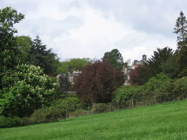
© George Wolfe · Geograph · CC BY-SA 2.0
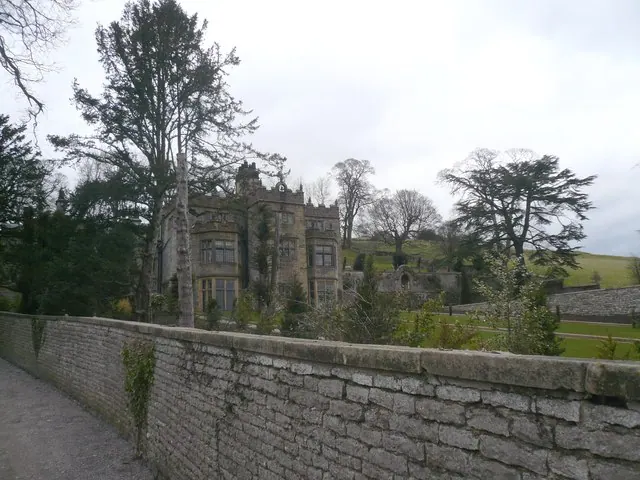
© Alan Heardman · Geograph · CC BY-SA 2.0
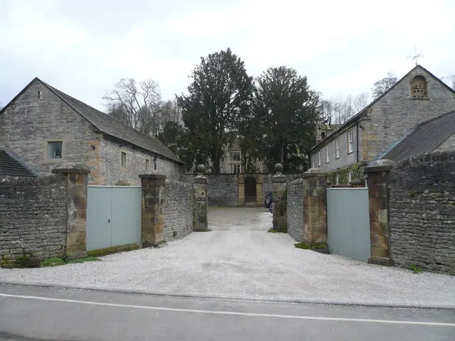
© Alan Heardman · Geograph · CC BY-SA 2.0
Images © their respective photographers, licensed under CC BY-SA 2.0 and reused here with attribution. Photographs depict listed buildings, churches and monuments near this settlement and may show neighbouring villages.
Data derived from the Open Domesday project (opendomesday.org), based on the Domesday Book dataset compiled by Professor J.J.N. Palmer and team. The Domesday Book (1086) is in the public domain.
Found an inaccuracy? [email protected]