Ashe in the Domesday Book (1086)
Ashe appears in the Domesday Book of 1086, entered under the hundred of Appletree in Derbyshire. The survey assessed Ashe at 3 carucates of taxable land.
At the time of the survey, Ashe supported a recorded population of 10 villagers, 5 smallholders, 3 slaves, working 8 ploughs between them.
The numbers record a sharp fall. Before 1066, Ashe was worth 6.5 shillings; by 1086 that had dropped to 3.25 shillings – a fall of 50%. Most Yorkshire villages that lost value on this scale were swept up in the Harrying of the North – William’s scorched-earth campaign of 1069–70.
The survey lists 2 manors at Ashe under different lords. Splitting a single settlement between multiple tenants was common across the North – Saxon estates broken up and handed to William’s followers after 1066.
Resources Recorded at Ashe (1086)
- Meadow: 8 ploughs
Other Settlements in Appletree
- Alkmonton
- Aston
- Barton [Blount]
- Bentley
- Boylestone
- Bradley
- Brailsford
- Bupton
- Clifton
- Doveridge
- Eaton [Dovedale]
- Edlaston
- Ednaston
- Fenton
The Meaning of the Name
The origin of the name Ashe is not securely established from its modern form alone; like many settlement names in the North it likely combines an Old English or Old Norse personal name with a landscape term.
Remarkably, the name has changed little since 1086, when the Domesday scribes wrote it as Ashe.
Listed Buildings Near Ashe
Historic England records 17 listed buildings within about a mile of Ashe. Listing protects structures of special architectural or historic interest, graded I (exceptional), II* (particularly important) and II.
Grade I
- Church of St Helen - 0.55 km
Grade II*
- Sir John Port Almshouses - 0.48 km
- Gates, Gatepiers, and Railings to South of the Etwall Almshouses - 0.51 km
Grade II
- Garden Wall to Lane Next to Church, Etwall Park, 5 Metres Sw of Etwall Almshouses - 0.47 km
- Ashe Hall - 0.49 km
- The Vicarage - 0.55 km
- Well Head to 6 Metres South West of St Helen’s Church Porch - 0.56 km
- 80 Main Street - 0.59 km
- The Limes and Attached Coach House - 0.6 km
- Etwall Lawns - 0.6 km
- Number 78 and Attached Outbuilding - 0.6 km
- Hawk and Buckle Inn and Attached Stableblock - 0.6 km
- Blenheim Farmhouse - 0.61 km
- 58, Main Street - 0.61 km
- 48 and 50 Main Street - 0.61 km
- The Old Red House - 0.61 km
- Etwall Lodge - 0.97 km
Ashe Today
Today Ashe lies within the administrative area of South Derbyshire, and the settlement recorded a population of 107 at the 2021 census. Nine and a half centuries separate that figure from the small rural community the Domesday survey recorded here in 1086.
Read more about modern Ash on Wikipedia .
Nearby Domesday Settlements
Other places recorded in the 1086 survey within a few miles:
- Etwall - 1.0 km S
- Burnaston - 2.0 km E
- Dalbury - 2.0 km N
- Bearwardcote - 2.2 km NE
- Hilton - 2.8 km SW
- Sutton -on-the-Hill - 2.8 km NW
Heritage Around Ashe
Photographs of churches, listed buildings and monuments in the vicinity, contributed by volunteers to the Geograph project and reused here under a Creative Commons licence.
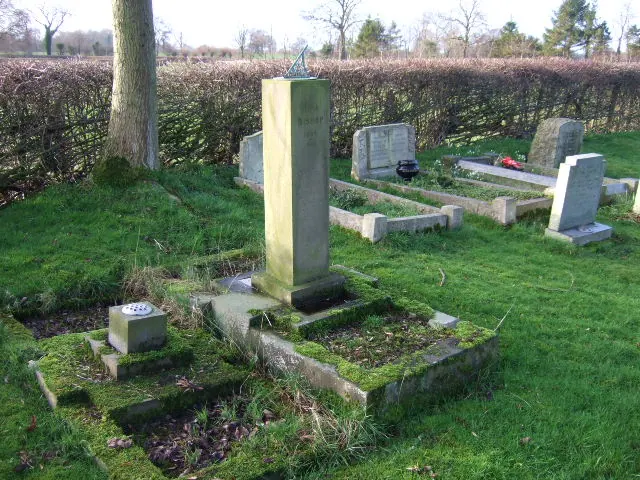
© John Poyser · Geograph · CC BY-SA 2.0
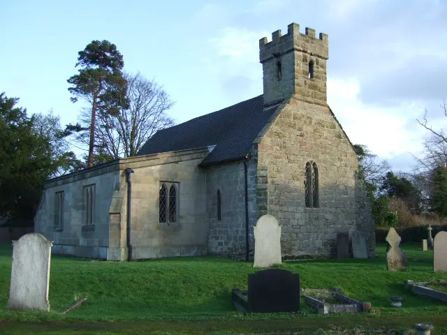
© John Poyser · Geograph · CC BY-SA 2.0
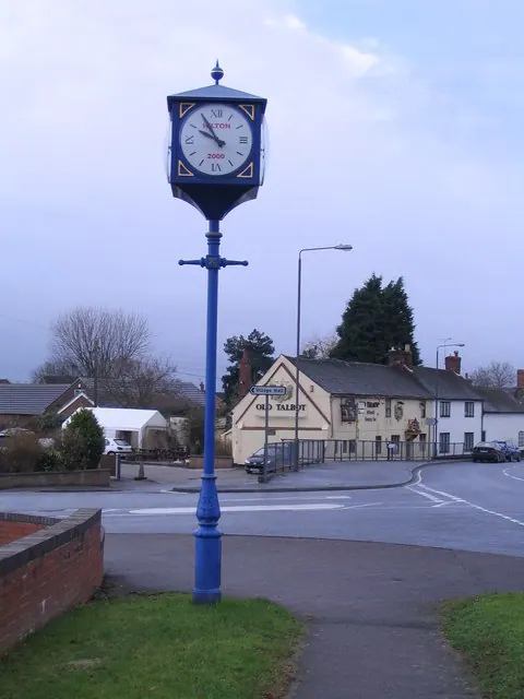
© M J Richardson · Geograph · CC BY-SA 2.0
Images © their respective photographers, licensed under CC BY-SA 2.0 and reused here with attribution. Photographs depict listed buildings, churches and monuments near this settlement and may show neighbouring villages.
Data derived from the Open Domesday project (opendomesday.org), based on the Domesday Book dataset compiled by Professor J.J.N. Palmer and team. The Domesday Book (1086) is in the public domain.
Found an inaccuracy? [email protected]