Ashbourne in the Domesday Book (1086)
Ashbourne appears in the Domesday Book of 1086, entered under the hundred of Hamston in Derbyshire.
Other Settlements in Hamston
- Alsop [-en-le-Dale]
- Atlow
- Ballidon
- Bonsall
- Bradbourne
- Brassington
- Broadlowash
- Callow
- Carsington
- Cowley
- Cromford
- Elton
- Hanson [Grange]
- Hartington
The Meaning of the Name
The origin of the name Ashbourne is not securely established from its modern form alone; like many settlement names in the North it likely combines an Old English or Old Norse personal name with a landscape term.
Remarkably, the name has changed little since 1086, when the Domesday scribes wrote it as Ashbourne.
Listed Buildings Near Ashbourne
Historic England records 167 listed buildings within about a mile of Ashbourne. Listing protects structures of special architectural or historic interest, graded I (exceptional), II* (particularly important) and II.
Grade II*
- 37-39 St John’s Street - 0.57 km
Grade II
- Building in Rear Yard of Number 24 (Walton Park) - 0.41 km
- 13, Sturston Road - 0.41 km
- Walton Bank - 0.42 km
- 7, 9, 11 and 15, Sturston Road - 0.42 km
- 16 and 18, Sturston Road - 0.46 km
- The United Reformed Church - 0.49 km
- Coopers Almshouses - 0.5 km
- Bust of Catherine Mumford, War Memorial Park - 0.51 km
- War Memorial Arch to Park - 0.53 km
- Madge House - 0.53 km
- 54, St John’s Street - 0.54 km
- 56, St Johns Street - 0.54 km
- 50, St John’s Street - 0.55 km
- Lloyds Bank - 0.55 km
- 52, St John’s Street - 0.55 km
- 51, St John’s Street - 0.55 km
- House Adjoining Number 52 - 0.55 km
- 45, St John’s Street - 0.56 km
- 47 and 49, St John’s Street - 0.56 km
- 42 and 44 St John Street - 0.56 km
- 29, St John’s Street - 0.57 km
- Swiss Cottage - 0.57 km
- 33, St John’s Street - 0.57 km
…and 143 more listed structures in the area.
Scheduled Monuments Near Ashbourne
Scheduled monuments are nationally important archaeological sites given legal protection. 1 lies within roughly a mile of Ashbourne:
Ashbourne Today
Today Ashbourne lies within the administrative area of Derbyshire Dales, and the settlement recorded a population of 8,967 at the 2021 census. Nine and a half centuries separate that figure from the small rural community the Domesday survey recorded here in 1086.
Read more about modern Ashbourne on Wikipedia .
Nearby Domesday Settlements
Other places recorded in the 1086 survey within a few miles:
- Fenton - 1.0 km E
- Sturston Hall and Nether Sturston - 1.0 km E
- Mapleton - 2.2 km NW
- Offcote - 2.2 km NE
- Clifton - 2.8 km SW
- Yeldersley - 2.8 km SE
Heritage Around Ashbourne
Photographs of churches, listed buildings and monuments in the vicinity, contributed by volunteers to the Geograph project and reused here under a Creative Commons licence.
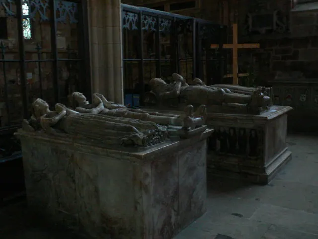
© Eirian Evans · Geograph · CC BY-SA 2.0
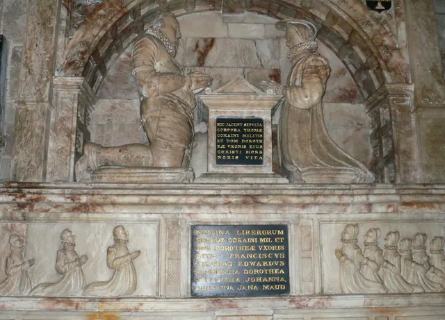
© Eirian Evans · Geograph · CC BY-SA 2.0
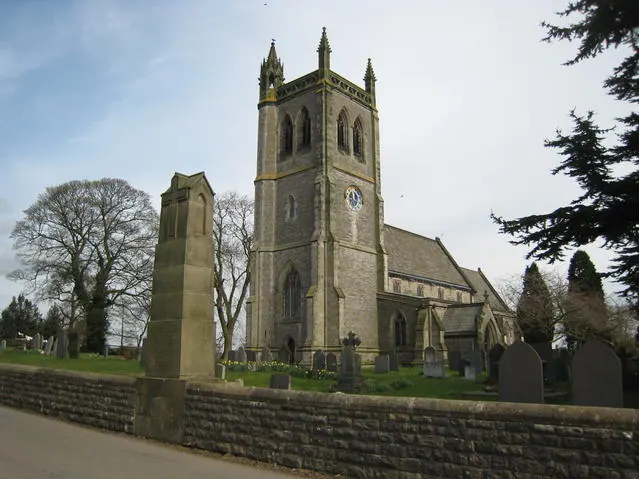
© David Stowell · Geograph · CC BY-SA 2.0
Images © their respective photographers, licensed under CC BY-SA 2.0 and reused here with attribution. Photographs depict listed buildings, churches and monuments near this settlement and may show neighbouring villages.
Data derived from the Open Domesday project (opendomesday.org), based on the Domesday Book dataset compiled by Professor J.J.N. Palmer and team. The Domesday Book (1086) is in the public domain.
Found an inaccuracy? [email protected]