Ascam in the Domesday Book (1086)
The 1086 Domesday survey records the settlement of Ascam, entered under the hundred of Land of Count Alan in Yorkshire.
Other Settlements in Land of Count Alan
- Achebi
- Agglethorpe
- Ainderby [Mires]
- Ainderby [Quernhow]
- Aiskew
- Aldbrough
- Allerthorpe [Hall]
- Ascham
- Asebi
- Aske [Hall]
- Askrigg
- Aysgarth
- Baldersby
- Barden
The Meaning of the Name
The origin of the name Ascam is not securely established from its modern form alone; like many settlement names in the North it likely combines an Old English or Old Norse personal name with a landscape term.
Remarkably, the name has changed little since 1086, when the Domesday scribes wrote it as Ascam.
Listed Buildings Near Ascam
Historic England records 32 listed buildings within about a mile of Ascam. Listing protects structures of special architectural or historic interest, graded I (exceptional), II* (particularly important) and II.
Grade II
- Stable Block Approximately 5 Metres to West of the Vicarage - 0.44 km
- The Vicarage - 0.44 km
- Blue Lion Stables - 0.46 km
- The Blue Lion - 0.46 km
- Church of St John the Evangelist - 0.47 km
- Old Holly Tree - 0.47 km
- 1, East Witton - 0.5 km
- Old School With Railings, Gate and Gate-piers - 0.51 km
- 10, East Witton - 0.53 km
- 12, East Witton - 0.54 km
- Reading Room - 0.54 km
- 11, East Witton - 0.54 km
- 14, East Witton - 0.55 km
- Grange Farmhouse - 0.56 km
- Cover Bridge - 0.56 km
- Pump on Green - 0.57 km
- Hutchinson’s Shop (Post Office) - 0.6 km
- 42, East Witton - 0.6 km
- Cover Bridge Inn - 0.6 km
- 22, East Witton - 0.61 km
- Low Thorpe House - 0.69 km
- 37, East Witton - 0.7 km
- Town End Farmhouse - 0.7 km
- 38, East Witton - 0.71 km
…and 8 more listed structures in the area.
Scheduled Monuments Near Ascam
Scheduled monuments are nationally important archaeological sites given legal protection. 1 lies within roughly a mile of Ascam:
- Ulshaw Bridge - 0.75 km
Ascam Today
Today Ascam lies within the administrative area of Richmondshire, and the settlement recorded a population of 225 at the 2021 census. Nine and a half centuries separate that figure from the small rural community the Domesday survey recorded here in 1086.
Read more about modern East Witton on Wikipedia .
Nearby Domesday Settlements
Other places recorded in the 1086 survey within a few miles:
- Ascham - 0.0 km N
- East Witton - 0.0 km N
- Danby - 1.4 km NE
- Middleham - 2.2 km NW
- Spennithorne - 2.2 km NW
- Hutton Hang - 2.8 km NE
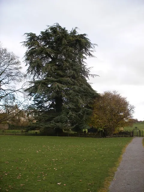
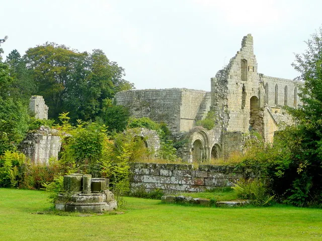
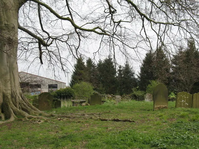
Heritage Around Ascam
Photographs of churches, listed buildings and monuments in the vicinity, contributed by volunteers to the Geograph project and reused here under a Creative Commons licence.
© SMJ · Geograph · CC BY-SA 2.0
© Jonathan Billinger · Geograph · CC BY-SA 2.0
© Gordon Hatton · Geograph · CC BY-SA 2.0
Images © their respective photographers, licensed under CC BY-SA 2.0 and reused here with attribution. Photographs depict listed buildings, churches and monuments near this settlement and may show neighbouring villages.
Location
54.2738°N, -1.7773°W · Land of Count Alan hundred, Yorkshire
View larger map on OpenStreetMap →Data derived from the Open Domesday project (opendomesday.org), based on the Domesday Book dataset compiled by Professor J.J.N. Palmer and team. The Domesday Book (1086) is in the public domain.
Found an inaccuracy? [email protected]