Arnodestorp in the Domesday Book (1086)
Arnodestorp is named in the Domesday Book, compiled by Norman commissioners in 1086, entered under the hundred of Langbaurgh in Yorkshire. The survey assessed Arnodestorp at 11.2 carucates of taxable land.
At the time of the survey, Arnodestorp supported a recorded population of 28 villagers, 11 smallholders, 8 slaves, working 17 ploughs between them.
Something went badly wrong here between the two surveys. Before 1066, Arnodestorp was worth 11 shillings; by 1086 that had dropped to 10 shillings – a fall of 9%. Most Yorkshire villages that lost value on this scale were swept up in the Harrying of the North – William’s scorched-earth campaign of 1069–70.
The survey lists 4 manors at Arnodestorp under different lords. Splitting a single settlement between multiple tenants was common across the North – Saxon estates broken up and handed to William’s followers after 1066.
Resources Recorded at Arnodestorp (1086)
- Mills: 2 mills (valued at 3.75 shillings)
- Fisheries: 2
- Meadow: 10 acres
- Woodland: 4 * 2 furlongs
Other Settlements in Langbaurgh
- Acklam
- Airy [Holme]
- Aislaby
- Baldebi
- Barnaby
- Barwick
- Battersby
- Bergolbi
- Berguluesbi
- Blaten [Carr]
- Borrowby
- Breck
- Brotton
- Caldenesche
The Meaning of the Name
The origin of the name Arnodestorp is not securely established from its modern form alone; like many settlement names in the North it likely combines an Old English or Old Norse personal name with a landscape term.
Remarkably, the name has changed little since 1086, when the Domesday scribes wrote it as Arnodestorp.
Listed Buildings Near Arnodestorp
Historic England records 18 listed buildings within about a mile of Arnodestorp. Listing protects structures of special architectural or historic interest, graded I (exceptional), II* (particularly important) and II.
Grade II
- St Hilda’s Well, in Churchyard to North of Church of St Hilda - 0.65 km
- Church of St Hilda - 0.66 km
- Walls to East and South of St Hilda’s Rectory - 0.69 km
- Barn and Farmyard Wall to North and West of Greylands Farmhouse - 0.69 km
- Greylands Farmhouse - 0.7 km
- 1, High Street - 0.7 km
- Mile Post to South of Port Mulgrave Road - 0.71 km
- The Badger Hounds Public House - 0.75 km
- 25 and 27, Porret Lane - 0.8 km
- Holme Farmhouse and Forecourt Wall to East - 0.81 km
- Thornhill - 0.87 km
- Methodist Chapel and Sunday School with forecourt walls - 0.89 km
- 99 and 101, High Street - 0.89 km
- 110, High Street - 0.94 km
- Hinderwell, Port Mulgrave and Runswick War Memorial Clock Tower - 0.96 km
- Barn and Byre to North of High Farmhouse - 0.97 km
- High Farmhouse - 0.99 km
- Forecourt to West of High Farmhouse - 1.0 km
Scheduled Monuments Near Arnodestorp
Scheduled monuments are nationally important archaeological sites given legal protection. 2 lie within roughly a mile of Arnodestorp:
- Round barrow and 20th century Royal Observer Corps post on Beacon Hill, known as the site of Hinderwell Beacon - 0.43 km
- St Hilda’s holy well - 0.65 km
Arnodestorp Today
Today Arnodestorp lies within the administrative area of Hinderwell.
Read more about modern Port Mulgrave on Wikipedia .
Nearby Domesday Settlements
Other places recorded in the 1086 survey within a few miles:
- Hinderwell - 0.0 km N
- Seaton Hall - 1.0 km W
- Newton Mulgrave - 2.2 km SW
- Borrowby - 2.8 km SW
- Grimesbi - 2.8 km SW
- Ellerby - 3.0 km S
Heritage Around Arnodestorp
Photographs of churches, listed buildings and monuments in the vicinity, contributed by volunteers to the Geograph project and reused here under a Creative Commons licence.
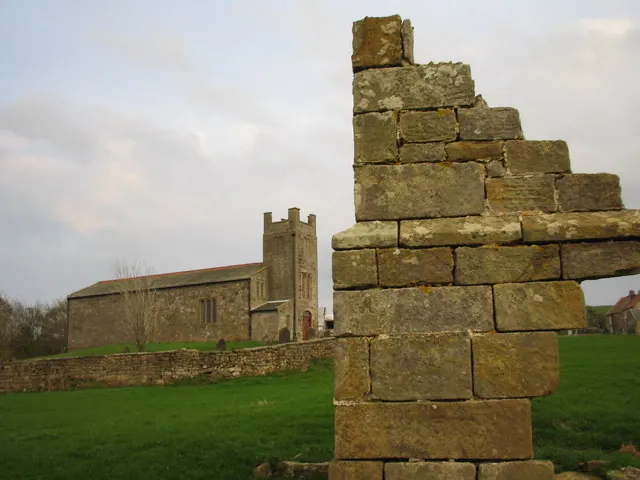
© Chris Twigg · Geograph · CC BY-SA 2.0
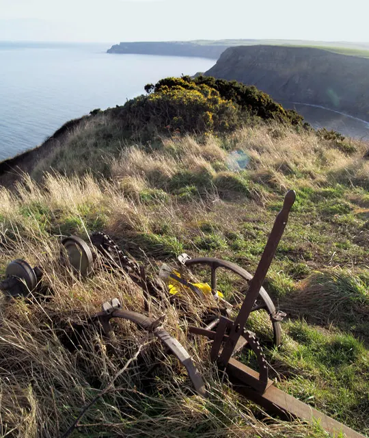
© Steve Fareham · Geograph · CC BY-SA 2.0
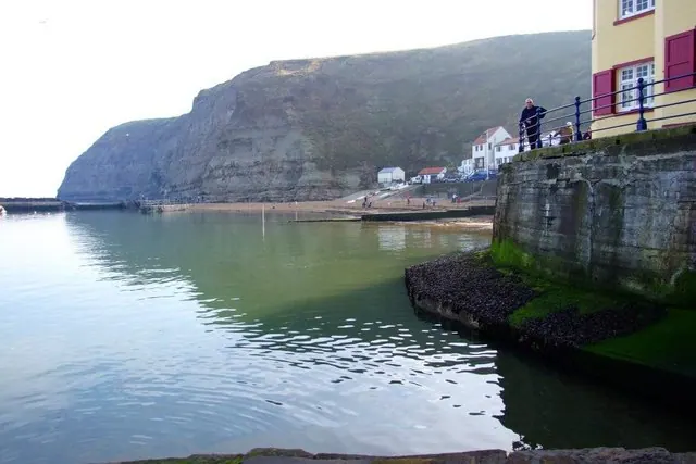
© Donnylad · Geograph · CC BY-SA 2.0
Images © their respective photographers, licensed under CC BY-SA 2.0 and reused here with attribution. Photographs depict listed buildings, churches and monuments near this settlement and may show neighbouring villages.
Data derived from the Open Domesday project (opendomesday.org), based on the Domesday Book dataset compiled by Professor J.J.N. Palmer and team. The Domesday Book (1086) is in the public domain.
Found an inaccuracy? [email protected]