Arncliffe Hall in the Domesday Book (1086)
The 1086 Domesday survey records the settlement of Arncliffe Hall, entered under the hundred of Allerton in Yorkshire.
Other Settlements in Allerton
- Ainderby [Steeple]
- Appleton [Wiske]
- Birkby
- Borrowby
- Brompton
- Cowesby
- Crosby [Grange]
- Dale [Town]
- Deighton
- Ellerbeck
- Foxton
- Girsby
- Hawnby
- Hornby
The Meaning of the Name
The name Arncliffe Hall is of Anglo-Saxon origin. Its final element derives from the Old English word clif, a cliff or steep slope. The first element is most likely a personal name or an early descriptive term, now difficult to recover with certainty. Taken together the name probably meant something close to ‘a slope’.
Remarkably, the name has changed little since 1086, when the Domesday scribes wrote it as Arncliffe Hall.
Listed Buildings Near Arncliffe Hall
Historic England records 15 listed buildings within about a mile of Arncliffe Hall. Listing protects structures of special architectural or historic interest, graded I (exceptional), II* (particularly important) and II.
Grade I
Grade II*
- Church of All Saints - 0.39 km
- Forecourt and Garden Walls to North West of Arncliffe Hall - 0.4 km
- Stable Block to South East of Arncliffe Hall Including Numbers 1-5 Consecutive - 0.41 km
Grade II
- Norwood Farmhouse and attached outbuilding - 0.2 km
- The Blue Bell Inn Attached Wall and Outbuildings - 0.64 km
- Ingleby Cross Post Office - 0.67 km
- House to North West of Post Office - 0.68 km
- Village Hall and Caretaker’s House Adjoining - 0.69 km
- Workshop Next But One North West of Post Office - 0.69 km
- Monks House and Chastleton Cottage - 0.97 km
- Scarth Wood Farmhouse and Stable Adjoining - 1.01 km
- Park House - 1.02 km
- Barn and Byre to East of Scarth Wood Farmhouse - 1.03 km
- Water Tower to South West of Gabriel Farmhouse - 1.05 km
Scheduled Monuments Near Arncliffe Hall
Scheduled monuments are nationally important archaeological sites given legal protection. 10 lie within roughly a mile of Arncliffe Hall:
- Round barrow 450m south east of Coploaf Gate - 1.3 km
- Round barrow 460m ESE of Coploaf Gate - 1.33 km
- Two round barrows on Scarth Wood Moor - 1.34 km
- Two round barrows 275m south of Scarth Wood - 1.37 km
- Round barrow 250m west of Scarth Nick - 1.42 km
- Round barrow 360m north west of Red Way Head - 1.42 km
- Round barrow 500m west of Red Way Head - 1.43 km
- Round barrow 350m north west of Red Way Head - 1.45 km
- Round barrow 200m north west of Scarth Nick - 1.46 km
- Round barrow 250m west of Red Way Head - 1.57 km
Nearby Domesday Settlements
Other places recorded in the 1086 survey within a few miles:
- Ingleby Arncliffe - 1.0 km W
- Mount Grace - 2.2 km SW
- Osmotherley - 3.0 km S
- East Harlsey - 3.2 km W
- Morton Grange - 3.2 km W
- Whorlton - 3.6 km NE
Heritage Around Arncliffe [Hall]
Photographs of churches, listed buildings and monuments in the vicinity, contributed by volunteers to the Geograph project and reused here under a Creative Commons licence.
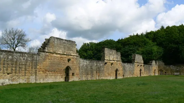
© Paul Howarth · Geograph · CC BY-SA 2.0
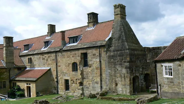
© Paul Howarth · Geograph · CC BY-SA 2.0
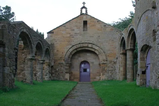
© Mick Garratt · Geograph · CC BY-SA 2.0
Images © their respective photographers, licensed under CC BY-SA 2.0 and reused here with attribution. Photographs depict listed buildings, churches and monuments near this settlement and may show neighbouring villages.
Data derived from the Open Domesday project (opendomesday.org), based on the Domesday Book dataset compiled by Professor J.J.N. Palmer and team. The Domesday Book (1086) is in the public domain.
Found an inaccuracy? [email protected]