Armley in the Domesday Book (1086)
Armley appears in the Domesday Book of 1086, entered under the hundred of Morley in Yorkshire.
Other Settlements in Morley
- Allerton
- Batley
- Beeston
- Bolton
- Bowling
- Bradford
- Bramley
- Calverley
- Carlton
- Chellow [Grange]
- Clayton
- Clifton
- Cruttonstall
- Dewsbury
The Meaning of the Name
The name Armley is of Anglo-Saxon origin. Its final element derives from the Old English word lēah, a woodland clearing or glade. The first element is most likely a personal name or an early descriptive term, now difficult to recover with certainty. Taken together the name probably meant something close to ‘a clearing’.
Remarkably, the name has changed little since 1086, when the Domesday scribes wrote it as Armley.
Listed Buildings Near Armley
Historic England records 54 listed buildings within about a mile of Armley. Listing protects structures of special architectural or historic interest, graded I (exceptional), II* (particularly important) and II.
Grade II*
- Armley Prison: Inner Range - 0.37 km
- Church of St Bartholomew - 0.4 km
- Armley Prison: Entrance Range and Flanking Walls - 0.47 km
- Armley Prison: Revetment Wall on East Side of Gloucester Terrace - 0.47 km
- Armley Mills Main Range - 0.67 km
Grade II
- Gate Piers and Railings to Tower Court - 0.26 km
- Tower Court - 0.28 km
- 6 and 8, Canal Road - 0.29 km
- Former Methodist Church and attached railings - 0.36 km
- Armley Public Library - 0.38 km
- Malt Shovel Public House - 0.39 km
- Boundary Wall to Church of St Bartholomew With Lych Gate - 0.43 km
- Armley Park Court - 0.47 km
- Former office block of the Scotch Foundry - 0.48 km
- Former warehouse of the Scotch Foundry - 0.5 km
- Bridge 225 on Leeds and Liverpool Canal and Gate Piers and Retaining Walls - 0.62 km
- Pair of Houses and Warehouse on North Side of Canal at Armley Mills - 0.64 km
- Winker Green Mill Reservoir Dams and Linking Walls - 0.66 km
- Chimney Stack on North Side of Tail Race at Armley Mills - 0.68 km
- Sluice Gates and Retaining Walls on Head Race at Armley Mills - 0.69 km
- Bridge Over Head Race at Armley Mills - 0.69 km
- Range on North Side of and Parallel to Tail Race at Armley Mills - 0.69 km
- Armley Park Plaque Approximately 40 Metres East of Fountain - 0.7 km
- Drying House Range and Attached Engine Shed at Armley Mills - 0.71 km
…and 30 more listed structures in the area.
Armley Today
Today Armley lies within the administrative area of Leeds, and the settlement recorded a population of 25,550 at recent figures. Nine and a half centuries separate that figure from the small rural community the Domesday survey recorded here in 1086.
Read more about modern Armley on Wikipedia .
Nearby Domesday Settlements
Other places recorded in the 1086 survey within a few miles:
Heritage Around Armley
Photographs of churches, listed buildings and monuments in the vicinity, contributed by volunteers to the Geograph project and reused here under a Creative Commons licence.
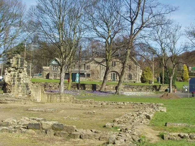
© Rich Tea · Geograph · CC BY-SA 2.0
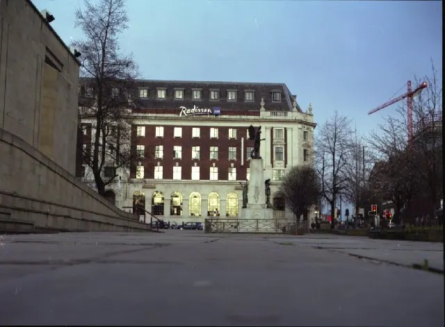
© Mike Wallis · Geograph · CC BY-SA 2.0
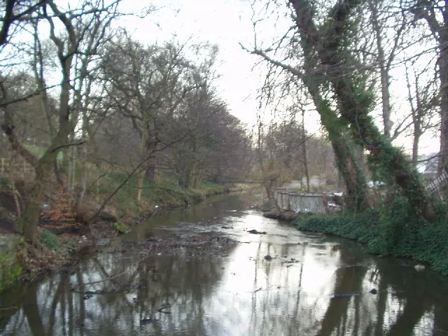
© Rich Tea · Geograph · CC BY-SA 2.0
Images © their respective photographers, licensed under CC BY-SA 2.0 and reused here with attribution. Photographs depict listed buildings, churches and monuments near this settlement and may show neighbouring villages.
Data derived from the Open Domesday project (opendomesday.org), based on the Domesday Book dataset compiled by Professor J.J.N. Palmer and team. The Domesday Book (1086) is in the public domain.
Found an inaccuracy? [email protected]