Arleston in the Domesday Book (1086)
Arleston appears in the Domesday Book of 1086, entered under the hundred of Litchurch in Derbyshire. The survey assessed Arleston at 16.7 carucates of taxable land.
At the time of the survey, Arleston supported a recorded population of 20 villagers, 3 smallholders, working 11 ploughs between them.
By 1086 Arleston was worth 7 shillings, up from 4 shillings before the Conquest – one of the few settlements in the area to hold its value through the upheaval.
Resources Recorded at Arleston (1086)
- Mills: 1 mill (valued at 8d)
- Fisheries: 5
- Woodland: 7 * 3 furlongs
Other Settlements in Litchurch
- Allestree
- Alvaston
- Ambaston
- Aston [-on-Trent]
- Barrow [-upon-Trent]
- Bearwardcote
- Boulton
- Burnaston
- Chellaston
- Cottons
- Dalbury
- Egginton
- Elvaston
- Etwall
The Meaning of the Name
The name Arleston is of Anglo-Saxon origin. Its final element derives from the Old English word tūn, a farmstead or village. The first element is most likely a personal name or an early descriptive term, now difficult to recover with certainty. Taken together the name probably meant something close to ‘a farmstead’.
Remarkably, the name has changed little since 1086, when the Domesday scribes wrote it as Arleston.
Listed Buildings Near Arleston
Historic England records 11 listed buildings within about a mile of Arleston. Listing protects structures of special architectural or historic interest, graded I (exceptional), II* (particularly important) and II.
Grade I
- Church of St Wilfrid - 1.28 km
Grade II
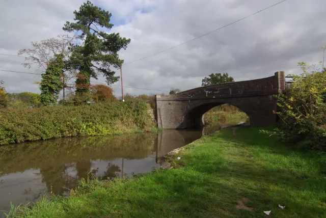
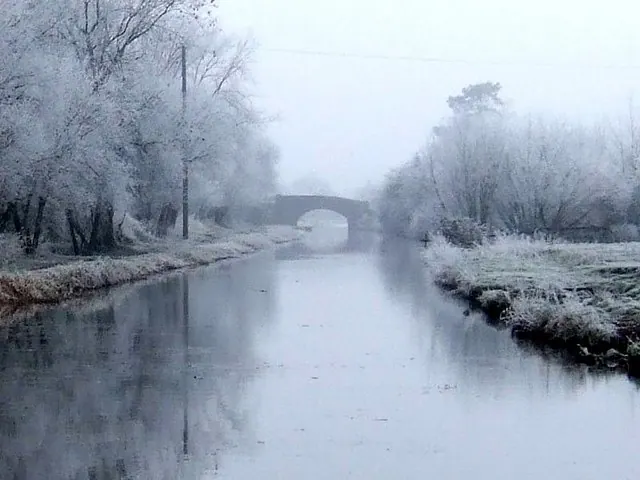
- Trent and Mersey Canal Deep Dale Bridge Number 17 at Sk 3485 2923 - 0.36 km
- The Grange - 0.89 km
- Arleston House Farmhouse - 0.92 km
- Littlecroft - 1.05 km
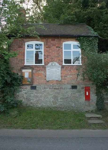
- Village School - 1.09 km
- War Memorial at Twyford Road, Barrow-upon-Trent - 1.11 km
- 2-18 Twyford Road - 1.14 km
- Lodge Cottage - 1.18 km
- St Wilfrids - 1.22 km
- Methodist Church - 1.26 km
Arleston Today
Today Arleston lies within the administrative area of Barrow upon Trent, and the settlement recorded a population of 46 at recent figures. Nine and a half centuries separate that figure from the small rural community the Domesday survey recorded here in 1086.
Read more about modern Arleston on Wikipedia .
Nearby Domesday Settlements
Other places recorded in the 1086 survey within a few miles:
- Barrow -upon-Trent - 1.4 km SE
- Sinfin - 2.0 km N
- Ingleby - 2.0 km S
- Twyford - 2.2 km SW
- Swarkestone - 2.2 km SE
- Stenson - 2.2 km NW
Heritage Around Arleston
Photographs of churches, listed buildings and monuments in the vicinity, contributed by volunteers to the Geograph project and reused here under a Creative Commons licence.
© Phil Myott · Geograph · CC BY-SA 2.0
© Stephen McKay · Geograph · CC BY-SA 2.0
© Ian Calderwood · Geograph · CC BY-SA 2.0
Images © their respective photographers, licensed under CC BY-SA 2.0 and reused here with attribution. Photographs depict listed buildings, churches and monuments near this settlement and may show neighbouring villages.
Data derived from the Open Domesday project (opendomesday.org), based on the Domesday Book dataset compiled by Professor J.J.N. Palmer and team. The Domesday Book (1086) is in the public domain.
Found an inaccuracy? [email protected]