Arksey in the Domesday Book (1086)
Arksey appears in the Domesday Book of 1086, entered under the hundred of Osgodcross in Yorkshire.
Other Settlements in Osgodcross
- Badsworth
- Beal
- Burgh[wallis]
- Campsall
- Darrington
- Featherstone
- Ferry [Fryston]
- Hamphall [Stubbs]
- Hensall
- Hessle
- Kellington
- Knottingley
- Minsthorpe
- Newsham
The Meaning of the Name
The origin of the name Arksey is not securely established from its modern form alone; like many settlement names in the North it likely combines an Old English or Old Norse personal name with a landscape term.
Remarkably, the name has changed little since 1086, when the Domesday scribes wrote it as Arksey.
Listed Buildings Near Arksey
Historic England records 13 listed buildings within about a mile of Arksey. Listing protects structures of special architectural or historic interest, graded I (exceptional), II* (particularly important) and II.
Grade I
- Church of All Saints - 0.55 km
Grade II
- Stockbridge Farmhouse - 0.21 km
- Farmbuilding Range Approximately 15 Metres to North West of Stockbridge Farmhouse - 0.23 km
- Old Village School House - 0.49 km
- Wall Enclosing Yard to Front of Old Village School House - 0.5 km
- Cooke’s Almshouses - 0.5 km
- Arksey Vicarage - 0.55 km
- 29 and 35, High Street - 0.6 km
- Brook House Farmhouse - 0.63 km
- Pinfold at Junction With Heap Pits Road - 0.67 km
- Arksey Hall Including West Wing - 0.76 km
- Bentley Pinfold - 0.96 km
- Milepost opposite northern junction with Rosedale Road - 1.23 km
Scheduled Monuments Near Arksey
Scheduled monuments are nationally important archaeological sites given legal protection. 2 lie within roughly a mile of Arksey:
- Moat Hills moated site, Bentley - 0.55 km
- Round About Moat, Arksey - 0.73 km
Arksey Today
Today Arksey lies within the administrative area of Doncaster, and the settlement recorded a population of 1,303 at recent figures. Nine and a half centuries separate that figure from the small rural community the Domesday survey recorded here in 1086.
Read more about modern Arksey on Wikipedia .
Nearby Domesday Settlements
Other places recorded in the 1086 survey within a few miles:
- Bentley - 1.0 km S
- Langthwaite - 2.0 km W
- Wheatley - 2.2 km SE
- Long Sandall - 3.0 km E
- Doncaster - 3.0 km S
- Cusworth - 3.6 km SW
Heritage Around Arksey
Photographs of churches, listed buildings and monuments in the vicinity, contributed by volunteers to the Geograph project and reused here under a Creative Commons licence.
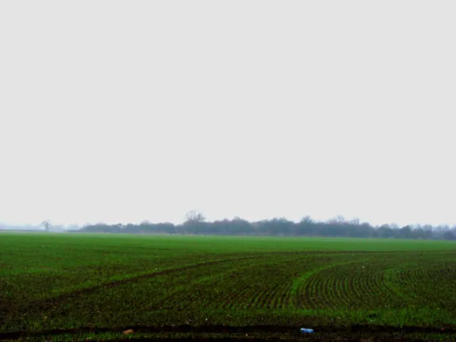
© Bill Henderson · Geograph · CC BY-SA 2.0
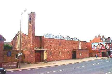
© Bill Henderson · Geograph · CC BY-SA 2.0
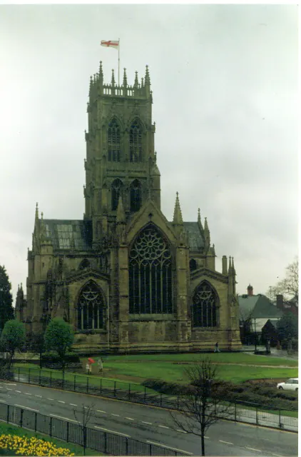
© Ron Hann · Geograph · CC BY-SA 2.0
Images © their respective photographers, licensed under CC BY-SA 2.0 and reused here with attribution. Photographs depict listed buildings, churches and monuments near this settlement and may show neighbouring villages.
Data derived from the Open Domesday project (opendomesday.org), based on the Domesday Book dataset compiled by Professor J.J.N. Palmer and team. The Domesday Book (1086) is in the public domain.
Found an inaccuracy? [email protected]