Argarmeles in the Domesday Book (1086)
The 1086 Domesday survey records the settlement of Argarmeles, entered under the hundred of [West] Derby in Cheshire. The survey assessed Argarmeles at 106 carucates of taxable land.
At the time of the survey, Argarmeles supported a recorded population of 88 villagers, 51 smallholders, 50 slaves, working 60 ploughs between them.
By 1086 Argarmeles was worth 90.5 shillings, up from 60 shillings before the Conquest – which sets it apart from the many nearby villages left waste or devalued.
Resources Recorded at Argarmeles (1086)
- Mills: 1 mill (valued at 2d)
- Meadow: 66 acres
- Woodland: 4 swine render
Other Settlements in [West] Derby
- Ainsdale
- Allerton
- Aughton
- Barton
- Bootle
- Childwall
- Dalton
- Downholland
- Formby
- Halsall
- Hurlston
- Huyton
- Ince [Blundell]
- Kirkby
The Meaning of the Name
The origin of the name Argarmeles is not securely established from its modern form alone; like many settlement names in the North it likely combines an Old English or Old Norse personal name with a landscape term.
Remarkably, the name has changed little since 1086, when the Domesday scribes wrote it as Argarmeles.
Listed Buildings Near Argarmeles
Historic England records 92 listed buildings within about a mile of Argarmeles. Listing protects structures of special architectural or historic interest, graded I (exceptional), II* (particularly important) and II.
Grade II
- Shelter Opposite Albany Road - 0.37 km
- Boathouse Adjacent to Lakeside Inn - 0.54 km
- Cafe on Lakeside Approximately 20 Metres West of Boathouse Adjacent to Lakeside Inn - 0.54 km
- Lakeside Inn - 0.56 km
- Former Promenade Hospital - 0.56 km
- Queens Hotel - 0.69 km
- Church of St Marie (Roman Catholic) - 0.72 km
- 49 and 50, Promenade - 0.75 km
- 45A, 46, 47 and 48, Promenade - 0.78 km
- Southport Pier - 0.83 km
- Stanley Terrace and Victoria Public House (Numbers 42 and 43) - 0.84 km
- Verandah to Numbers 657-671 (Numbers 657-671 Not Included) - 0.86 km
- Verandah to Numbers 601-617 (Numbers 601-617 Not Included) - 0.88 km
- The Bold Hotel - 0.89 km
- Former Victoria Baths - 0.89 km
- Pair of K6 Telephone Kiosks Outside of Number 599, North Post Office (Number 599 Not Included) - 0.9 km
- Verandah to Numbers 565-571 (Numbers 565-571 Not Included) - 0.91 km
- Debenhams With Attached Verandah - 0.92 km
- Monument of Queen Victoria - 0.92 km
- Verandah to Numbers 525-533 (Numbers 525-533 Not Included) - 0.93 km
- Numbers 509-515 With Attached Glazed Canopy - 0.94 km
- Verandah to Numbers 517-523 (Numbers 517-523 Not Included) - 0.94 km
- Shelter beside Marine Lake approximately 70 metres south of pier - 0.94 km
- 479 and 481, Lord Street - 0.96 km
…and 68 more listed structures in the area.
Nearby Domesday Settlements
Other places recorded in the 1086 survey within a few miles:
Heritage Around Argarmeles
Photographs of churches, listed buildings and monuments in the vicinity, contributed by volunteers to the Geograph project and reused here under a Creative Commons licence.
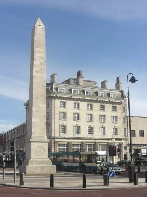
© Anthony Foster · Geograph · CC BY-SA 2.0
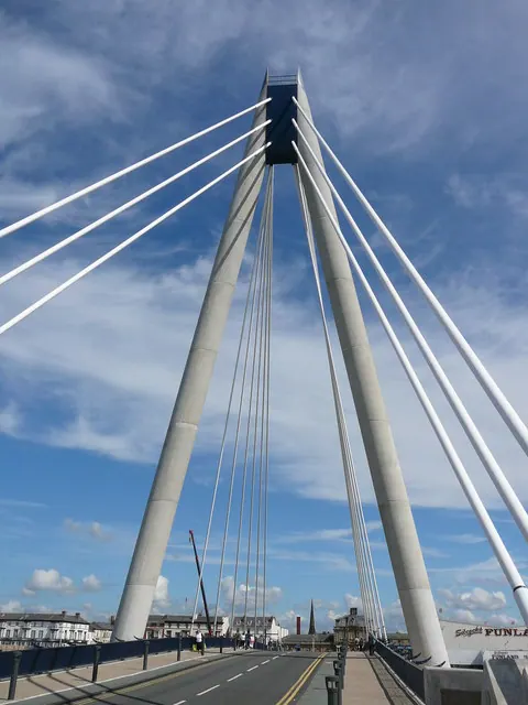
© Colin Park · Geograph · CC BY-SA 2.0
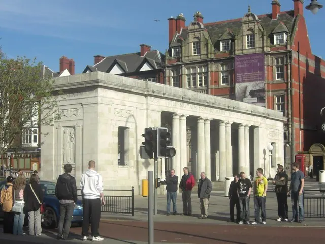
© Anthony Foster · Geograph · CC BY-SA 2.0
Images © their respective photographers, licensed under CC BY-SA 2.0 and reused here with attribution. Photographs depict listed buildings, churches and monuments near this settlement and may show neighbouring villages.
Data derived from the Open Domesday project (opendomesday.org), based on the Domesday Book dataset compiled by Professor J.J.N. Palmer and team. The Domesday Book (1086) is in the public domain.
Found an inaccuracy? [email protected]