Appleton le Street in the Domesday Book (1086)
The settlement of Appleton le Street is recorded in William I’s Domesday survey of 1086, entered under the hundred of Maneshou in Yorkshire. The survey assessed Appleton le Street at 20 carucates of taxable land.
At the time of the survey, Appleton le Street supported a recorded population of 18 villagers, 12 smallholders, 6 slaves, working 11 ploughs between them.
The survey records Appleton le Street’s value at 19 shillings in 1086. No pre-Conquest figure survives – not unusual in the North, where records were disrupted by the Harrying and by the patchy coverage of the survey.
Resources Recorded at Appleton le Street (1086)
- Mills: 1 mill (valued at 1d)
- Cattle: 4
- Pigs: 15
- Sheep: 340
- Horses (cobs): 1
- Meadow: 53 acres
- Woodland: 90 acres
Other Settlements in Maneshou
- Amotherby
- Ampleforth
- Beadlam
- Brawby
- Broughton
- Cawton
- Coulton
- Fadmoor
- Fryton
- Gillamoor
- Gilling [East]
- Griff [Farm]
- Grimston
- Harome
The Meaning of the Name
The name Appleton le Street is of Anglo-Saxon origin. Its final element derives from the Old English word tūn, a farmstead or village. The first element is most likely a personal name or an early descriptive term, now difficult to recover with certainty. Taken together the name probably meant something close to ‘a farmstead’.
Remarkably, the name has changed little since 1086, when the Domesday scribes wrote it as Appleton le Street.
Listed Buildings Near Appleton le Street
Historic England records 5 listed buildings within about a mile of Appleton le Street. Listing protects structures of special architectural or historic interest, graded I (exceptional), II* (particularly important) and II.
Grade I
- Church of All Saints - 0.2 km
Grade II
- East Royd Farmhouse - 0.08 km
- Dovecote - 0.2 km
- West Grange Farmhouse and Attached Garage - 0.22 km
- Mile Post Approximately 500 Metres West of Appleton Le Street - 0.54 km
Scheduled Monuments Near Appleton le Street
Scheduled monuments are nationally important archaeological sites given legal protection. 5 lie within roughly a mile of Appleton le Street:
- Dovecote at Appleton-le-Street, 120m east of Whitefield Farm - 0.2 km
- Cross dyke in Scarrish Wood - 1.47 km
- Cross dyke 600m north west of Easthorpe Farm - 1.53 km
- Round barrow in the west of Scarrish Wood - 1.56 km
- Round barrow 380m NNW of Easthorpe Lodge - 1.59 km
Appleton le Street Today
Today Appleton le Street lies within the administrative area of Appleton-le-Street with Easthorpe, and the settlement recorded a population of 117 at recent figures. Nine and a half centuries separate that figure from the small rural community the Domesday survey recorded here in 1086.
Read more about modern Appleton-le-Street on Wikipedia .
Nearby Domesday Settlements
Other places recorded in the 1086 survey within a few miles:
- Barton le Street - 1.4 km NW
- Amotherby - 2.0 km E
- Swinton - 2.0 km E
- Easthorpe House - 2.0 km S
- Coneysthorpe - 2.8 km SW
- Broughton - 3.0 km E
Heritage Around Appleton [le Street]
Photographs of churches, listed buildings and monuments in the vicinity, contributed by volunteers to the Geograph project and reused here under a Creative Commons licence.
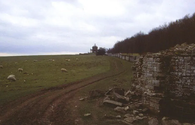
© Chris Heaton · Geograph · CC BY-SA 2.0
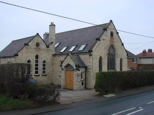
© Bill Henderson · Geograph · CC BY-SA 2.0
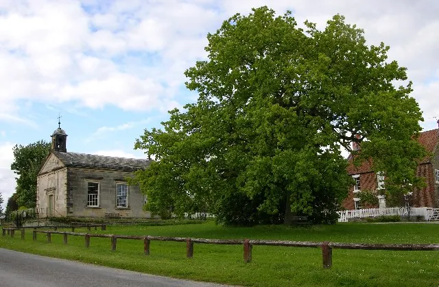
© Stuart and Fiona Jackson · Geograph · CC BY-SA 2.0
Images © their respective photographers, licensed under CC BY-SA 2.0 and reused here with attribution. Photographs depict listed buildings, churches and monuments near this settlement and may show neighbouring villages.
Data derived from the Open Domesday project (opendomesday.org), based on the Domesday Book dataset compiled by Professor J.J.N. Palmer and team. The Domesday Book (1086) is in the public domain.
Found an inaccuracy? [email protected]