Appleby Magna in the Domesday Book (1086)
Appleby Magna is named in the Domesday Book, compiled by Norman commissioners in 1086, entered under the hundred of Walecros in Derbyshire.
Other Settlements in Walecros
- Bolun
- Bretby
- Caldwell
- Catton
- Coton [-in-the-Elms]
- Drakelowe
- Foremark
- Hartshorne
- Hearthcote
- Ingleby
- Lullington
- Melbourne
- Milton
- Newton [Solney]
The Meaning of the Name
The name Appleby Magna is of Scandinavian origin. Its final element derives from the Old Norse word bý, a farmstead or village. The first element is most likely a personal name or an early descriptive term, now difficult to recover with certainty. Taken together the name probably meant something close to ‘a farmstead’.
Names of this type are a fingerprint of Scandinavian settlement: they cluster across the old Danelaw, where Norse-speaking settlers renamed or founded villages from the late 9th century onward.
Remarkably, the name has changed little since 1086, when the Domesday scribes wrote it as Appleby Magna.
Listed Buildings Near Appleby Magna
Historic England records 28 listed buildings within about a mile of Appleby Magna. Listing protects structures of special architectural or historic interest, graded I (exceptional), II* (particularly important) and II.
Grade I
Grade II*
- The Moat House - 0.34 km
- Church of St Michael - 0.4 km
Grade II
- Home Farmhouse - 0.13 km
- Overstreet House - 0.16 km
- Eastgate House - 0.28 km
- 24, Top Street - 0.28 km
- 8, 12, 14 and 16, Top Street - 0.31 km
- K6 Telephone Kiosk, Church Street - 0.33 km
- K6 Telephone Kiosk - 0.33 km
- Church Farmhouse - 0.36 km
- 17, Church Street - 0.36 km
- Entrance Gates, Piers and Wall at the Sir John Moore Church of England School - 0.36 km
- The Dovecote at the Moat House - 0.37 km
- Hill House - 0.38 km
- Black Horse Inn - 0.39 km
- Outhouse to Right of the Sir John Moore Church of England School - 0.41 km
- Gatepiers and Retaining Wall to Churchyard of St Michael - 0.42 km
- Former National School - 0.42 km
- Appleby Magna War Memorial - 0.43 km
- Wall in Front of Moores Almhouses - 0.45 km
- Moores Almhouses - 0.46 km
- Threshing Barn at Hall Farm - 0.46 km
- 4, Atherstone Road - 0.89 km
…and 4 more listed structures in the area.
Scheduled Monuments Near Appleby Magna
Scheduled monuments are nationally important archaeological sites given legal protection. 1 lies within roughly a mile of Appleby Magna:
- Moated site, fishponds, formal garden and settlement earthworks east of St Michael’s Church - 0.34 km
Appleby Magna Today
Today Appleby Magna lies within the administrative area of North West Leicestershire, and the settlement recorded a population of 1,302 at the 2021 census. Nine and a half centuries separate that figure from the small rural community the Domesday survey recorded here in 1086.
Read more about modern Appleby Magna on Wikipedia .
Nearby Domesday Settlements
Other places recorded in the 1086 survey within a few miles:
- Stretton -en-le-Field - 2.2 km NW
- Chilcote - 3.6 km NW
- Measham - 3.6 km NE
- Oakthorpe - 4.1 km N
- Nether or Over Seal - 5.0 km NW
- Donisthorpe - 5.0 km N
Heritage Around Appleby [Magna]
Photographs of churches, listed buildings and monuments in the vicinity, contributed by volunteers to the Geograph project and reused here under a Creative Commons licence.
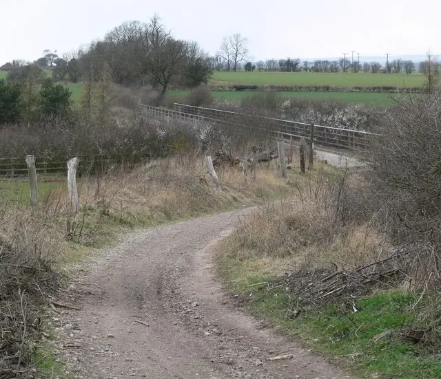
© Mat Fascione · Geograph · CC BY-SA 2.0
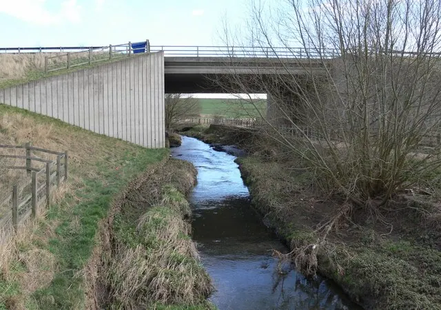
© Mat Fascione · Geograph · CC BY-SA 2.0
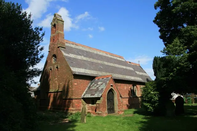
© David Rogers · Geograph · CC BY-SA 2.0
Images © their respective photographers, licensed under CC BY-SA 2.0 and reused here with attribution. Photographs depict listed buildings, churches and monuments near this settlement and may show neighbouring villages.
Data derived from the Open Domesday project (opendomesday.org), based on the Domesday Book dataset compiled by Professor J.J.N. Palmer and team. The Domesday Book (1086) is in the public domain.
Found an inaccuracy? [email protected]