Wensley in the Domesday Book (1086)
Wensley is named in the Domesday Book, compiled by Norman commissioners in 1086, entered under the hundred of Land of Count Alan in Yorkshire.
Other Settlements in Land of Count Alan
- Achebi
- Agglethorpe
- Ainderby [Mires]
- Ainderby [Quernhow]
- Aiskew
- Aldbrough
- Allerthorpe [Hall]
- Ascam
- Ascham
- Asebi
- Aske [Hall]
- Askrigg
- Aysgarth
- Baldersby
The Meaning of the Name
The name Wensley is of Anglo-Saxon origin. Its final element derives from the Old English word lēah, a woodland clearing or glade. The first element is most likely a personal name or an early descriptive term, now difficult to recover with certainty. Taken together the name probably meant something close to ‘a clearing’.
The Domesday commissioners of 1086 recorded the place as another Wensley - the spelling has shifted over the nine centuries since, as the name passed from Norman scribes through Middle English into its modern form.
Listed Buildings Near Wensley
Historic England records 15 listed buildings within about a mile of Wensley. Listing protects structures of special architectural or historic interest, graded I (exceptional), II* (particularly important) and II.
Grade I
- Church of Holy Trinity - 0.39 km
Grade II
- Brython Mount View - 0.42 km
- Beech Cottage Greystones - 0.44 km
- East View Post Office - 0.46 km
- Victoria House - 0.46 km
- Wensley Bridge - 0.47 km
- Gates and Gate Piers to Wensley Hall - 0.47 km
- Pump on Village Green - 0.49 km
- Wensley Hall and Corner House - 0.5 km
- Rose Cottage Tudor Cottage - 0.5 km
- High Saw Mill - 0.5 km
- School House Sylvan View - 0.52 km
- Boundary Stone - 0.52 km
- Gate Piers Walls and Railings by East Lodge - 0.53 km
- East Lodge - 0.54 km
Scheduled Monuments Near Wensley
Scheduled monuments are nationally important archaeological sites given legal protection. 2 lie within roughly a mile of Wensley:
- Wensley Bridge - 0.48 km
- Roman fort at Wensley - 1.49 km
Wensley Today
Today Wensley lies within the administrative area of Richmondshire, and the settlement recorded a population of 139 at the 2021 census. Nine and a half centuries separate that figure from the small rural community the Domesday survey recorded here in 1086.
Read more about modern Wensley on Wikipedia .
Nearby Domesday Settlements
Other places recorded in the 1086 survey within a few miles:
- Wensley - 0.0 km N
- Leyburn - 2.2 km NE
- Harmby - 3.0 km E
- West Witton - 3.2 km W
- Agglethorpe - 3.2 km S
- Coverham - 3.2 km S
Heritage Around another Wensley
Photographs of churches, listed buildings and monuments in the vicinity, contributed by volunteers to the Geograph project and reused here under a Creative Commons licence.
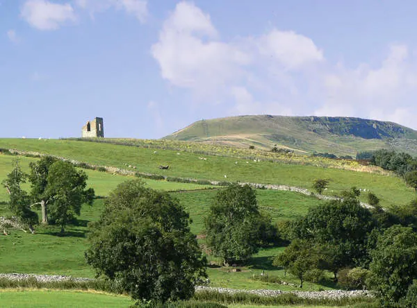
© Anthony Harrison · Geograph · CC BY-SA 2.0
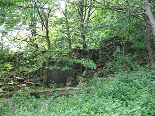
© Gordon Hatton · Geograph · CC BY-SA 2.0
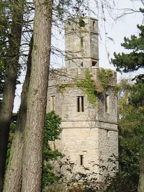
© Paul Brooker · Geograph · CC BY-SA 2.0
Images © their respective photographers, licensed under CC BY-SA 2.0 and reused here with attribution. Photographs depict listed buildings, churches and monuments near this settlement and may show neighbouring villages.
Location
54.3008°N, -1.8540°W · Land of Count Alan hundred, Yorkshire
View larger map on OpenStreetMap →Data derived from the Open Domesday project (opendomesday.org), based on the Domesday Book dataset compiled by Professor J.J.N. Palmer and team. The Domesday Book (1086) is in the public domain.
Found an inaccuracy? [email protected]