Leece in the Domesday Book (1086)
The settlement of Leece is recorded in William I’s Domesday survey of 1086, entered under the hundred of Amounderness in Yorkshire.
Other Settlements in Amounderness
- Aighton
- Aldcliffe
- Aldingham
- Arkholme
- Aschebi
- Ashton [Hall]
- Ashton [on Ribble]
- Austwick
- Barbon
- Bardsea
- Bare
- Barnoldswick
- Barton
- Beetham
The Meaning of the Name
The origin of the name Leece is not securely established from its modern form alone; like many settlement names in the North it likely combines an Old English or Old Norse personal name with a landscape term.
The Domesday commissioners of 1086 recorded the place as another Leece - the spelling has shifted over the nine centuries since, as the name passed from Norman scribes through Middle English into its modern form.
Listed Buildings Near Leece
Historic England records 4 listed buildings within about a mile of Leece. Listing protects structures of special architectural or historic interest, graded I (exceptional), II* (particularly important) and II.
Grade II
- Tarn Side - 0.31 km
- Moss Side Farmhouse Including Moss Side Cottage - 1.17 km
- Church of St Matthew - 1.19 km
- Village Hall - 1.19 km
Leece Today
Today Leece lies within the administrative area of Aldingham.
Read more about modern Leece on Wikipedia .
Nearby Domesday Settlements
Other places recorded in the 1086 survey within a few miles:
- Leece - 0.0 km N
- Hart Carrs - 1.0 km E
- Dendron - 1.0 km N
- Gleaston - 1.4 km NE
- Roose - 2.0 km W
- Fordbottle - 2.2 km NW
Heritage Around another Leece
Photographs of churches, listed buildings and monuments in the vicinity, contributed by volunteers to the Geograph project and reused here under a Creative Commons licence.
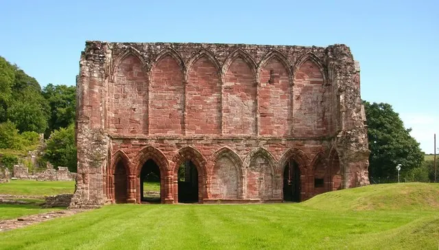
© Stephen Middlemiss · Geograph · CC BY-SA 2.0
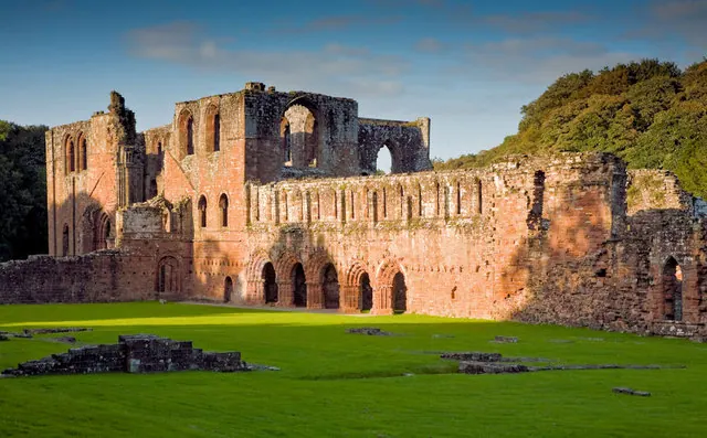
© George Hopkins · Geograph · CC BY-SA 2.0
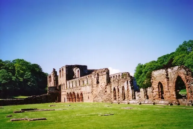
© Ruth Riddle · Geograph · CC BY-SA 2.0
Images © their respective photographers, licensed under CC BY-SA 2.0 and reused here with attribution. Photographs depict listed buildings, churches and monuments near this settlement and may show neighbouring villages.
Data derived from the Open Domesday project (opendomesday.org), based on the Domesday Book dataset compiled by Professor J.J.N. Palmer and team. The Domesday Book (1086) is in the public domain.
Found an inaccuracy? [email protected]