Auckley in the Domesday Book (1086)
Auckley appears in the Domesday Book of 1086, entered under the hundred of Strafforth in Yorkshire.
Other Settlements in Strafforth
- Adwick [le Street]
- Adwick [upon Dearne]
- Armthorpe
- Aston
- Attercliffe
- Auckley
- Aughton [Hall]
- Austerfield
- Balby
- Barnbrough
- Barnby [Dun]
- Bentley
- Bilham [House]
- Billingley
The Meaning of the Name
The name Auckley is of Anglo-Saxon origin. Its final element derives from the Old English word lēah, a woodland clearing or glade. The first element is most likely a personal name or an early descriptive term, now difficult to recover with certainty. Taken together the name probably meant something close to ‘a clearing’.
The Domesday commissioners of 1086 recorded the place as another Auckley - the spelling has shifted over the nine centuries since, as the name passed from Norman scribes through Middle English into its modern form.
Listed Buildings Near Auckley
Historic England records 4 listed buildings within about a mile of Auckley. Listing protects structures of special architectural or historic interest, graded I (exceptional), II* (particularly important) and II.
Grade II
- 9, 11, Ellers Lane - 0.46 km
- Mounting Block adjacent to the north-east corner of the Eagle and Child Public House - 0.82 km
- Church of St Saviour - 0.84 km
- The Old Vicarage - 0.87 km
Auckley Today
Today Auckley lies within the administrative area of Doncaster, and the settlement recorded a population of 4,961 at the 2021 census. Nine and a half centuries separate that figure from the small rural community the Domesday survey recorded here in 1086.
Read more about modern Auckley on Wikipedia .
Nearby Domesday Settlements
Other places recorded in the 1086 survey within a few miles:
- Auckley - 0.0 km N
- Branton - 3.2 km W
- Cantley - 3.2 km W
- Littleworth - 4.2 km SW
- Armthorpe - 4.2 km NW
- Edenthorpe - 5.8 km NW
Heritage Around another Auckley
Photographs of churches, listed buildings and monuments in the vicinity, contributed by volunteers to the Geograph project and reused here under a Creative Commons licence.
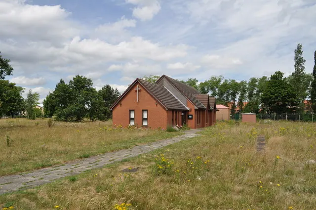
© Nick Mutton 01329 000000 · Geograph · CC BY-SA 2.0
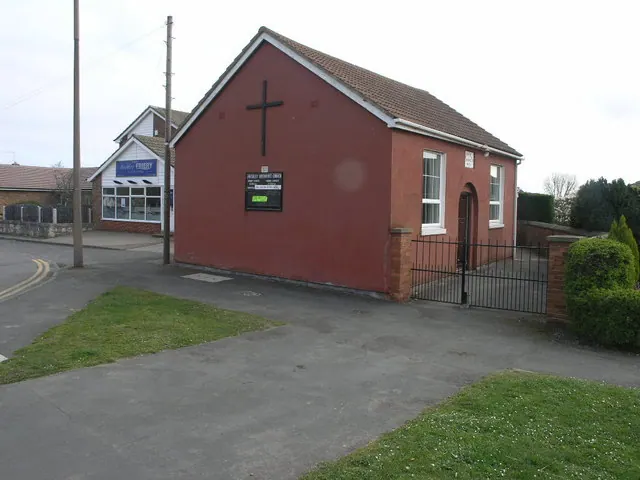
© Michael Patterson · Geograph · CC BY-SA 2.0
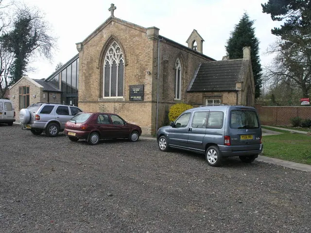
© Michael Patterson · Geograph · CC BY-SA 2.0
Images © their respective photographers, licensed under CC BY-SA 2.0 and reused here with attribution. Photographs depict listed buildings, churches and monuments near this settlement and may show neighbouring villages.
Data derived from the Open Domesday project (opendomesday.org), based on the Domesday Book dataset compiled by Professor J.J.N. Palmer and team. The Domesday Book (1086) is in the public domain.
Found an inaccuracy? [email protected]