Anley in the Domesday Book (1086)
Anley is named in the Domesday Book, compiled by Norman commissioners in 1086, entered under the hundred of Craven in Yorkshire.
Other Settlements in Craven
- Addingham
- Airton
- Appletreewick
- Arncliffe
- Arnford
- Barnoldswick
- Bashall [Eaves]
- Battersby [Barn]
- Beamsley
- Birkby [Hall]
- Bogeuurde
- Bolton [Abbey]
- Bolton [by Bowland]
- Bordley
The Meaning of the Name
The name Anley is of Anglo-Saxon origin. Its final element derives from the Old English word lēah, a woodland clearing or glade. The first element is most likely a personal name or an early descriptive term, now difficult to recover with certainty. Taken together the name probably meant something close to ‘a clearing’.
Remarkably, the name has changed little since 1086, when the Domesday scribes wrote it as Anley.
Listed Buildings Near Anley
Historic England records 6 listed buildings within about a mile of Anley. Listing protects structures of special architectural or historic interest, graded I (exceptional), II* (particularly important) and II.
Grade II
- Cleatop Farmhouse - 0.07 km
- Mearbeck House - 0.85 km
- Mile Post to West of Turnpike House - 0.87 km
- Keepers Cottage - 0.94 km
- House, 140 Yards South West of Mearbeck House - 0.98 km
- Anley House - 1.14 km
Nearby Domesday Settlements
Other places recorded in the 1086 survey within a few miles:
- Settle - 2.0 km N
- Rathmell - 2.2 km SW
- Giggleswick - 3.0 km N
- Langcliffe - 3.2 km N
- Long Preston - 3.6 km SE
- Stackhouse - 4.0 km N
Heritage Around Anley
Photographs of churches, listed buildings and monuments in the vicinity, contributed by volunteers to the Geograph project and reused here under a Creative Commons licence.
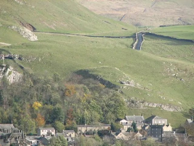
© Nick W · Geograph · CC BY-SA 2.0
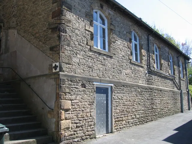
© John S Turner · Geograph · CC BY-SA 2.0
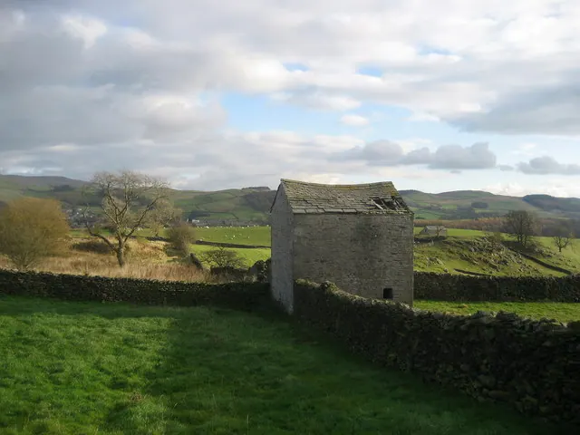
© Chris Heaton · Geograph · CC BY-SA 2.0
Images © their respective photographers, licensed under CC BY-SA 2.0 and reused here with attribution. Photographs depict listed buildings, churches and monuments near this settlement and may show neighbouring villages.
Data derived from the Open Domesday project (opendomesday.org), based on the Domesday Book dataset compiled by Professor J.J.N. Palmer and team. The Domesday Book (1086) is in the public domain.
Found an inaccuracy? [email protected]