Alsop -en-le-Dale in the Domesday Book (1086)
The 1086 Domesday survey records the settlement of Alsop -en-le-Dale, entered under the hundred of Hamston in Derbyshire.
Other Settlements in Hamston
- Ashbourne
- Atlow
- Ballidon
- Bonsall
- Bradbourne
- Brassington
- Broadlowash
- Callow
- Carsington
- Cowley
- Cromford
- Elton
- Hanson [Grange]
- Hartington
The Meaning of the Name
The origin of the name Alsop -en-le-Dale is not securely established from its modern form alone; like many settlement names in the North it likely combines an Old English or Old Norse personal name with a landscape term.
Remarkably, the name has changed little since 1086, when the Domesday scribes wrote it as Alsop -en-le-Dale.
Listed Buildings Near Alsop -en-le-Dale
Historic England records 5 listed buildings within about a mile of Alsop -en-le-Dale. Listing protects structures of special architectural or historic interest, graded I (exceptional), II* (particularly important) and II.
Grade II
- Manor Farmhouse - 0.6 km
- Church Farmhouse - 0.61 km
- Church of St Michael - 0.67 km
- Alsop Hall - 0.7 km
- Parwich Lees - 1.02 km
Scheduled Monuments Near Alsop -en-le-Dale
Scheduled monuments are nationally important archaeological sites given legal protection. 3 lie within roughly a mile of Alsop -en-le-Dale:
- Cross Low bowl barrow - 0.42 km
- Hawks Low bowl barrow - 1.34 km
- Nettly Knowe bowl barrow - 1.52 km
Alsop -en-le-Dale Today
Today Alsop -en-le-Dale lies within the administrative area of Eaton and Alsop.
Read more about modern Alsop en le Dale on Wikipedia .
Nearby Domesday Settlements
Other places recorded in the 1086 survey within a few miles:
- Newton Grange - 2.0 km S
- Cold Eaton - 2.2 km NW
- Parwich - 2.2 km SE
- Hanson Grange - 2.8 km SW
- Tissington - 3.2 km S
- Ballidon - 4.1 km E
Heritage Around Alsop [-en-le-Dale]
Photographs of churches, listed buildings and monuments in the vicinity, contributed by volunteers to the Geograph project and reused here under a Creative Commons licence.
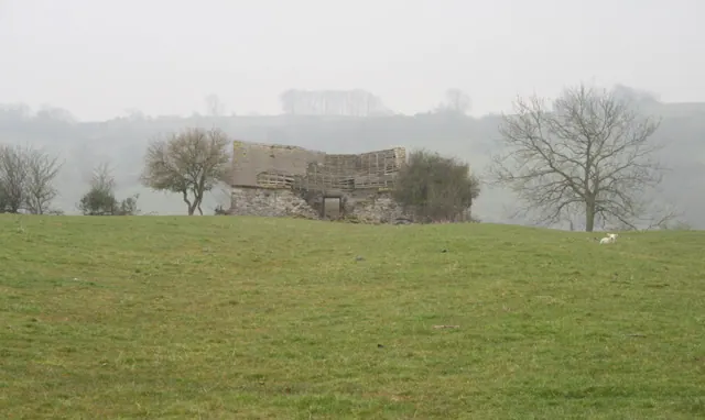
© David Lally · Geograph · CC BY-SA 2.0
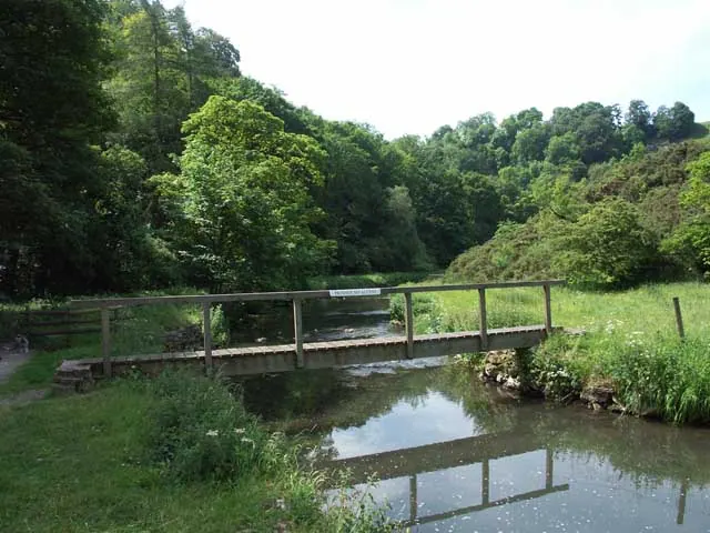
© Jerry Evans · Geograph · CC BY-SA 2.0
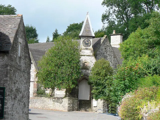
© Mick Lobb · Geograph · CC BY-SA 2.0
Images © their respective photographers, licensed under CC BY-SA 2.0 and reused here with attribution. Photographs depict listed buildings, churches and monuments near this settlement and may show neighbouring villages.
Data derived from the Open Domesday project (opendomesday.org), based on the Domesday Book dataset compiled by Professor J.J.N. Palmer and team. The Domesday Book (1086) is in the public domain.
Found an inaccuracy? [email protected]