Almondbury in the Domesday Book (1086)
The 1086 Domesday survey records the settlement of Almondbury, entered under the hundred of Agbrigg in Yorkshire.
Other Settlements in Agbrigg
- Ackton
- Austonley
- Bradley
- Cartworth
- Crigglestone
- Crofton
- Dalton
- Emley
- Farnley [Tyas]
- Flockton
- Fulstone
- Golcar
- Hepworth
- Holme
The Meaning of the Name
The name Almondbury is of Anglo-Saxon origin. Its final element derives from the Old English word burh, a fortified place. The first element is most likely a personal name or an early descriptive term, now difficult to recover with certainty. Taken together the name probably meant something close to ‘a stronghold’.
Remarkably, the name has changed little since 1086, when the Domesday scribes wrote it as Almondbury.
Listed Buildings Near Almondbury
Historic England records 129 listed buildings within about a mile of Almondbury. Listing protects structures of special architectural or historic interest, graded I (exceptional), II* (particularly important) and II.
Grade II*
- 42-46, Townend - 0.08 km
Grade II
- Barn South of Number 49 - 0.06 km
- 87, Townend - 0.07 km
- 49, Townend - 0.09 km
- 47, Townend - 0.09 km
- 14, Northgate - 0.13 km
- 47-51, Northgate - 0.18 km
- Police Box on Roadside Next to Number 55 - 0.2 km
- 55 and 55A, Northgate - 0.2 km
- Ing Field House - 0.22 km
- 59 and 61, Northgate - 0.24 km
- 63 and 65, Northgate - 0.25 km
- Thorpe Villa - 0.27 km
- 1, Fernside Avenue - 0.28 km
- 3, Fernside Avenue - 0.28 km
- 91, Northgate - 0.31 km
- Wall From Rear of Number 89 Northgate As Far As Thorpe Grange - 0.31 km
- 93-97, Northgate - 0.32 km
- Cemetery Gates and Gate Piers - 0.33 km
- K6 Telephone Kiosk Adjacent to Number 90 - 0.34 km
- 99-103, Northgate - 0.34 km
- The Old Clergy House - 0.43 km
- Gate to Number 2 the Old Clergy House in the Wall Along West Side of the Old Clergy House - 0.44 km
- Coach House to North of Fenay Lodge - 0.44 km
…and 105 more listed structures in the area.
Almondbury Today
Today Almondbury lies within the administrative area of Kirklees, and the settlement recorded a population of 18,346 at recent figures. Nine and a half centuries separate that figure from the small rural community the Domesday survey recorded here in 1086.
Read more about modern Almondbury on Wikipedia .
Nearby Domesday Settlements
Other places recorded in the 1086 survey within a few miles:
- Dalton - 1.4 km NE
- Huddersfield - 2.2 km NW
- Kirkheaton - 2.8 km NE
- Lockwood - 3.0 km W
- Farnley Tyas - 3.0 km S
- Lepton - 4.0 km E
Heritage Around Almondbury
Photographs of churches, listed buildings and monuments in the vicinity, contributed by volunteers to the Geograph project and reused here under a Creative Commons licence.
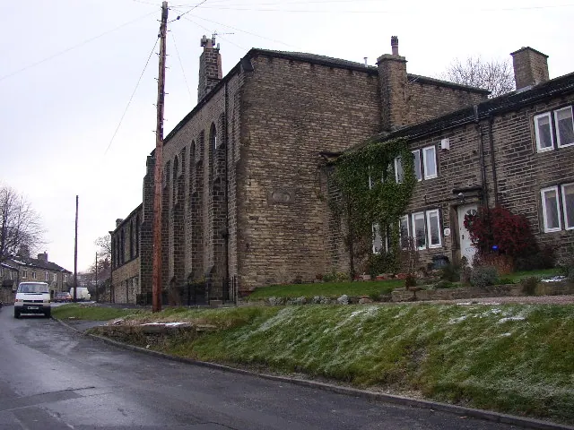
© Humphrey Bolton · Geograph · CC BY-SA 2.0
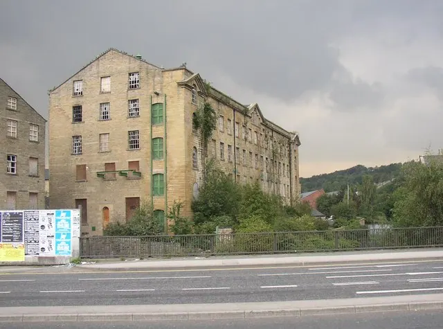
© Humphrey Bolton · Geograph · CC BY-SA 2.0
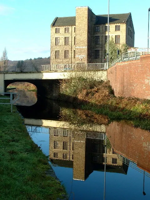
© Nigel Homer · Geograph · CC BY-SA 2.0
Images © their respective photographers, licensed under CC BY-SA 2.0 and reused here with attribution. Photographs depict listed buildings, churches and monuments near this settlement and may show neighbouring villages.
Data derived from the Open Domesday project (opendomesday.org), based on the Domesday Book dataset compiled by Professor J.J.N. Palmer and team. The Domesday Book (1086) is in the public domain.
Found an inaccuracy? [email protected]