Allestree in the Domesday Book (1086)
The settlement of Allestree is recorded in William I’s Domesday survey of 1086, entered under the hundred of Litchurch in Derbyshire.
Other Settlements in Litchurch
- Alvaston
- Ambaston
- Arleston
- Aston [-on-Trent]
- Barrow [-upon-Trent]
- Bearwardcote
- Boulton
- Burnaston
- Chellaston
- Cottons
- Dalbury
- Egginton
- Elvaston
- Etwall
The Meaning of the Name
The origin of the name Allestree is not securely established from its modern form alone; like many settlement names in the North it likely combines an Old English or Old Norse personal name with a landscape term.
Remarkably, the name has changed little since 1086, when the Domesday scribes wrote it as Allestree.
Listed Buildings Near Allestree
Historic England records 37 listed buildings within about a mile of Allestree. Listing protects structures of special architectural or historic interest, graded I (exceptional), II* (particularly important) and II.
Grade II*
- Church of St Edmund - 0.32 km
- Darley Abbey Mills (North Complex) Preparation Building and Cottage and Workshop and Cart Sheds to North of Site - 1.1 km
- 3-16, Brick Row - 1.1 km
- 1 and 2, Brick Row - 1.13 km
- Darley Abbey Mills (North Complex) North Mill and Engine House and Boiler House - 1.15 km
Grade II
- Red Cow Inn Public House - 0.28 km
- Allestree War Memorial - 0.31 km
- 11-15, Cornhill - 0.33 km
- Old School House - 0.33 km
- 10, Cornhill - 0.34 km
- Village Pump - 0.34 km
- Yew Tree Cottage - 0.34 km
- 8, Cornhill - 0.36 km
- The Hollies Farmhouse. Garden Wall to the Hollies Farmhouse. Farm Buildings Adjoining the Hollies Farmhouse. - 0.36 km
- Church of St Matthew - 0.88 km
- 1-14, Lavender Row - 1.03 km
- 5-27, Mile Ash Lane - 1.07 km
- 7-9, Abbey Lane - 1.1 km
- Darley Abbey Mills (North Complex) Building to North West of Site Known As Fire Station and Building to the East - 1.11 km
- 1 to 8 West Row, with row of privies opposite - 1.17 km
- The Hollies - 1.18 km
- 1-12, The Square - 1.18 km
- The White House - 1.19 km
- Ice House at Allestree Hall - 1.19 km
…and 13 more listed structures in the area.
Scheduled Monuments Near Allestree
Scheduled monuments are nationally important archaeological sites given legal protection. 1 lies within roughly a mile of Allestree:
- Darley Abbey (remains of) - 1.24 km
Allestree Today
Today Allestree lies within the administrative area of Derby, and the settlement recorded a population of 13,622 at recent figures. Nine and a half centuries separate that figure from the small rural community the Domesday survey recorded here in 1086.
Read more about modern Allestree on Wikipedia .
Nearby Domesday Settlements
Other places recorded in the 1086 survey within a few miles:
- Breadsall - 2.0 km E
- Markeaton - 2.2 km SW
- Quarndon - 2.2 km NW
- Little Chester - 2.2 km SE
- Little Eaton - 2.8 km NE
- Derby - 3.2 km S
Heritage Around Allestree
Photographs of churches, listed buildings and monuments in the vicinity, contributed by volunteers to the Geograph project and reused here under a Creative Commons licence.
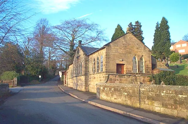
© Garth Newton · Geograph · CC BY-SA 2.0
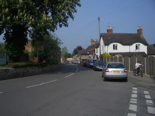
© Judith Willers · Geograph · CC BY-SA 2.0
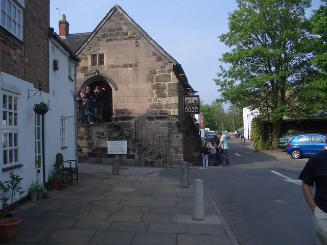
© Judith Willers · Geograph · CC BY-SA 2.0
Images © their respective photographers, licensed under CC BY-SA 2.0 and reused here with attribution. Photographs depict listed buildings, churches and monuments near this settlement and may show neighbouring villages.
Data derived from the Open Domesday project (opendomesday.org), based on the Domesday Book dataset compiled by Professor J.J.N. Palmer and team. The Domesday Book (1086) is in the public domain.
Found an inaccuracy? [email protected]