Allerton in the Domesday Book (1086)
Allerton is named in the Domesday Book, compiled by Norman commissioners in 1086, entered under the hundred of [West] Derby in Cheshire.
Other Settlements in [West] Derby
- Ainsdale
- Argarmeles
- Aughton
- Barton
- Bootle
- Childwall
- Dalton
- Downholland
- Formby
- Halsall
- Hurlston
- Huyton
- Ince [Blundell]
- Kirkby
The Meaning of the Name
The name Allerton is of Anglo-Saxon origin. Its final element derives from the Old English word tūn, a farmstead or village. The first element is most likely a personal name or an early descriptive term, now difficult to recover with certainty. Taken together the name probably meant something close to ‘a farmstead’.
Remarkably, the name has changed little since 1086, when the Domesday scribes wrote it as Allerton.
Listed Buildings Near Allerton
Historic England records 144 listed buildings within about a mile of Allerton. Listing protects structures of special architectural or historic interest, graded I (exceptional), II* (particularly important) and II.
Grade II*
- Cedarwood - 0.16 km
Grade II
- Stoneleigh and 48 Beaconsfield Road - 0.06 km
- Beaconsfield and the Cottage - 0.06 km
- Beacon Hill - 0.15 km
- Beaconsfield House - 0.17 km
- Newstead Farmhouse With Attached Buildings - 0.18 km
- Abbots Lea (Original Mansion Only) - 0.23 km
- Knolle Park (Saint Gabriel’s Convent) - 0.3 km
- Lodge to Knolle Park (Greek Lodge) - 0.34 km
- Entrance to Knolle Park (corner Church Road) - 0.36 km
- Water Tower - 0.36 km
- Knolle Park Mews - 0.38 km
- Mendips, 251 Menlove Avenue, Liverpool - 0.41 km
- Boundary Stone on South Side of Reservior Road Junction - 0.42 km
- Reynolds Lodge - 0.45 km
- Cliff Cottage - 0.53 km
- Outbuilding - 0.59 km
- The Stables - 0.6 km
- Riffel Lodge - 0.61 km
- 81-87, Quarry Street - 0.67 km
- Fletchers Farm House - 0.7 km
- 69-75, Quarry Street - 0.71 km
- Tower House Towers Cottage Woolton Tower - 0.72 km
- Churchfield - 0.73 km
…and 120 more listed structures in the area.
Scheduled Monuments Near Allerton
Scheduled monuments are nationally important archaeological sites given legal protection. 1 lies within roughly a mile of Allerton:
Allerton Today
Today Allerton lies within the administrative area of Liverpool, and the settlement recorded a population of 14,853 at recent figures. Nine and a half centuries separate that figure from the small rural community the Domesday survey recorded here in 1086.
Read more about modern Allerton on Wikipedia .
Nearby Domesday Settlements
Other places recorded in the 1086 survey within a few miles:
- Wibaldeslei - 1.0 km E
- Much Woolton - 1.4 km SE
- Little Woolton - 2.0 km E
- Childwall - 2.2 km NE
- Wavertree - 2.8 km NW
- Speke - 4.1 km S
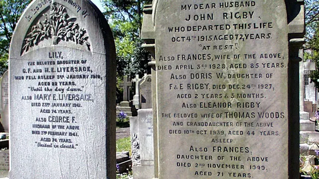
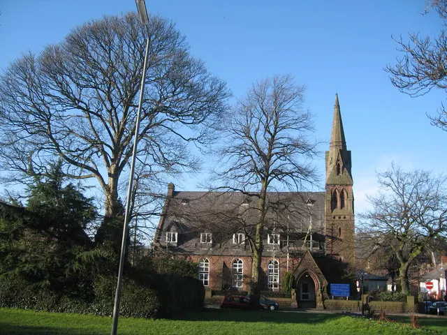
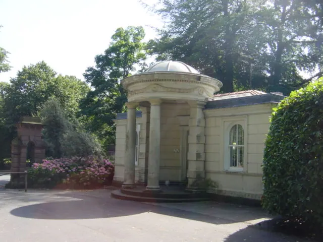
Heritage Around Allerton
Photographs of churches, listed buildings and monuments in the vicinity, contributed by volunteers to the Geograph project and reused here under a Creative Commons licence.
© Peter Tarleton · Geograph · CC BY-SA 2.0
© Sue Adair · Geograph · CC BY-SA 2.0
© Sue Adair · Geograph · CC BY-SA 2.0
Images © their respective photographers, licensed under CC BY-SA 2.0 and reused here with attribution. Photographs depict listed buildings, churches and monuments near this settlement and may show neighbouring villages.
Data derived from the Open Domesday project (opendomesday.org), based on the Domesday Book dataset compiled by Professor J.J.N. Palmer and team. The Domesday Book (1086) is in the public domain.
Found an inaccuracy? [email protected]