Allerton in the Domesday Book (1086)
Allerton is named in the Domesday Book, compiled by Norman commissioners in 1086, entered under the hundred of Morley in Yorkshire.
Other Settlements in Morley
- Armley
- Batley
- Beeston
- Bolton
- Bowling
- Bradford
- Bramley
- Calverley
- Carlton
- Chellow [Grange]
- Clayton
- Clifton
- Cruttonstall
- Dewsbury
The Meaning of the Name
The name Allerton is of Anglo-Saxon origin. Its final element derives from the Old English word tūn, a farmstead or village. The first element is most likely a personal name or an early descriptive term, now difficult to recover with certainty. Taken together the name probably meant something close to ‘a farmstead’.
Remarkably, the name has changed little since 1086, when the Domesday scribes wrote it as Allerton.
Listed Buildings Near Allerton
Historic England records 40 listed buildings within about a mile of Allerton. Listing protects structures of special architectural or historic interest, graded I (exceptional), II* (particularly important) and II.
Grade II*
- Dean House - 0.49 km
- Leventhorpe Hall - 0.68 km
- Lower Bailey Fold Farmhouse - 0.78 km
Grade II
- Outbuilding Approximately 20 Yards to East of West End Farmhouse - 0.52 km
- West End Farmhouse - 0.53 km
- Numbers 8 and 10 Grange Fold - 0.53 km
- Number 12 Grange Fold - 0.54 km
- Barn to north of Leventhorpe Hall fronting road - 0.64 km
- Barn on East Side of North Yard at Leventhorpe Hall - 0.65 km
- 85 and 87, Hill Top Lane - 0.69 km
- Outbuilding to east of Leventhorpe Hall - 0.69 km
- 120-128, Old Road Bd13 - 0.74 km
- Outbuilding to south side of Lower Hoyle Ing Farmhouse - 0.75 km
- 5-11, Allerton Lane - 0.75 km
- 35A, 37 and 39, School Green Bd13 - 0.76 km
- 25-35, School Green Bd13 - 0.77 km
- Barn to North East of Lower Bailey Fold Farmhouse - 0.78 km
- 39 and 41 (Ellercroft) Oaks Lane and adjoining stables fronting road - 0.78 km
- Upper Bailey Fold - 0.79 km
- Barn Immediately South West of Lower Bailey Fold Farmhouse - 0.79 km
- 41, School Green Bd13 - 0.8 km
- Two 4 Storey Blocks to Numbers 262 and 264 (Allerton Warehouse) Occupied by British Mohair Spinners, One Fronting Road Up to and Opposite Number 239, and One at Right Angles to First Block in Yard to Rear - 0.83 km
- Church of St Peter - 0.84 km
- Hilltop Farmhouse, Adjoining Barn at Right Angles and Number 15 - 0.86 km
…and 16 more listed structures in the area.
Allerton Today
Today Allerton lies within the administrative area of Bradford, and the settlement recorded a population of 12,000 at recent figures. Nine and a half centuries separate that figure from the small rural community the Domesday survey recorded here in 1086.
Read more about modern Allerton on Wikipedia .
Nearby Domesday Settlements
Other places recorded in the 1086 survey within a few miles:
- Clayton - 1.0 km S
- Thornton - 1.4 km SW
- Chellow Grange - 2.2 km NE
- Wilsden - 3.6 km NW
- Cottingley - 4.0 km N
- Bradford - 5.0 km E
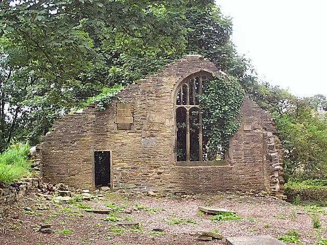
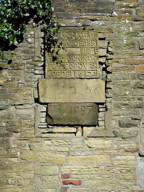
Heritage Around Allerton
Photographs of churches, listed buildings and monuments in the vicinity, contributed by volunteers to the Geograph project and reused here under a Creative Commons licence.
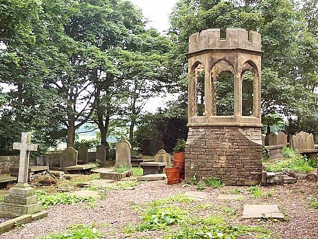
© David Spencer · Geograph · CC BY-SA 2.0
© David Spencer · Geograph · CC BY-SA 2.0
© Paul Glazzard · Geograph · CC BY-SA 2.0
Images © their respective photographers, licensed under CC BY-SA 2.0 and reused here with attribution. Photographs depict listed buildings, churches and monuments near this settlement and may show neighbouring villages.
Data derived from the Open Domesday project (opendomesday.org), based on the Domesday Book dataset compiled by Professor J.J.N. Palmer and team. The Domesday Book (1086) is in the public domain.
Found an inaccuracy? [email protected]