Alfreton in the Domesday Book (1086)
Alfreton appears in the Domesday Book of 1086, entered under the hundred of Scarsdale in Derbyshire.
Other Settlements in Scarsdale
- Ashover
- Barlborough
- Barlow
- Beighton
- Blingsby
- Bolsover
- Boythorpe
- Bramley [Vale]
- Brimington
- Calow
- Chesterfield
- Clowne
- Dore
- Dronfield
The Meaning of the Name
The name Alfreton is of Anglo-Saxon origin. Its final element derives from the Old English word tūn, a farmstead or village. The first element is most likely a personal name or an early descriptive term, now difficult to recover with certainty. Taken together the name probably meant something close to ‘a farmstead’.
Remarkably, the name has changed little since 1086, when the Domesday scribes wrote it as Alfreton.
Listed Buildings Near Alfreton
Historic England records 21 listed buildings within about a mile of Alfreton. Listing protects structures of special architectural or historic interest, graded I (exceptional), II* (particularly important) and II.
Grade II*
- Church of St Martin - 0.97 km
- Carnfield Hall - 1.13 km
Grade II
- 1, Raglan Street - 0.3 km
- Alfreton House - 0.47 km
- Croft Infant School - 0.49 km
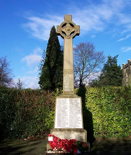
- War Memorial and Railings - 0.75 km
- Milepost Abutting Church Street Front of George Hotel - 0.75 km
- George Hotel - 0.76 km
- 2, King Street - 0.77 km
- House of Confinement - 0.78 km
- 17, Church Street - 0.79 km
- Wycliffe Reform Church - 0.8 km
- Barn Adjoining Number 16 - 0.81 km
- 12, Church Street - 0.88 km
- Pigeoncote to East of Former Stable Block to Alfreton Hall - 0.93 km
- Sundial 15 metres south east of porch to St Martin’s Church - 0.95 km
- Chest Tomb 1 Metre to North of Chancel of St Martin’s Church - 0.96 km
- Former stableblock to Alfreton Hall - 0.99 km
- Alfreton Hall - 1.03 km
- Coach-house at Carnfield Hall - 1.1 km
- Milepost to North of Carnfield Hall - 1.16 km
Alfreton Today
Today Alfreton lies within the administrative area of Amber Valley, and the settlement recorded a population of 8,794 at the 2021 census. Nine and a half centuries separate that figure from the small rural community the Domesday survey recorded here in 1086.
Read more about modern Alfreton on Wikipedia .
Nearby Domesday Settlements
Other places recorded in the 1086 survey within a few miles:
- Ufton - 2.2 km NW
- South Normanton - 3.2 km E
- Shirland - 3.6 km NW
- South? Wingfield - 4.0 km W
- Pentrich - 4.2 km SW
- Wessington - 4.5 km NW
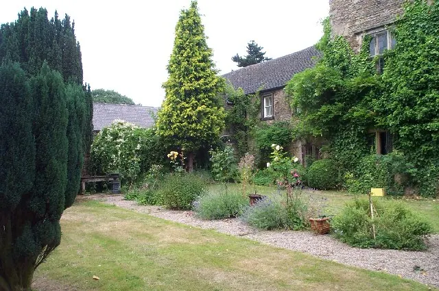
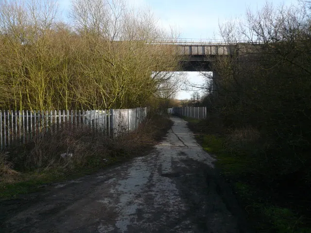
Heritage Around Alfreton
Photographs of churches, listed buildings and monuments in the vicinity, contributed by volunteers to the Geograph project and reused here under a Creative Commons licence.
© Hugh McKenna · Geograph · CC BY-SA 2.0
© Ann B · Geograph · CC BY-SA 2.0
© Alan Heardman · Geograph · CC BY-SA 2.0
Images © their respective photographers, licensed under CC BY-SA 2.0 and reused here with attribution. Photographs depict listed buildings, churches and monuments near this settlement and may show neighbouring villages.
Data derived from the Open Domesday project (opendomesday.org), based on the Domesday Book dataset compiled by Professor J.J.N. Palmer and team. The Domesday Book (1086) is in the public domain.
Found an inaccuracy? [email protected]