Aldingham in the Domesday Book (1086)
Aldingham is named in the Domesday Book, compiled by Norman commissioners in 1086, entered under the hundred of Amounderness in Yorkshire.
Other Settlements in Amounderness
- Aighton
- Aldcliffe
- Arkholme
- Aschebi
- Ashton [Hall]
- Ashton [on Ribble]
- Austwick
- Barbon
- Bardsea
- Bare
- Barnoldswick
- Barton
- Beetham
- Bispham
The Meaning of the Name
The name Aldingham is of Anglo-Saxon origin. Its final element derives from the Old English word hām, a homestead or village, while the first element appears to represent the old. Taken together the name probably meant something close to ’the old homestead’.
Remarkably, the name has changed little since 1086, when the Domesday scribes wrote it as Aldingham.
Listed Buildings Near Aldingham
Historic England records 9 listed buildings within about a mile of Aldingham. Listing protects structures of special architectural or historic interest, graded I (exceptional), II* (particularly important) and II.
Grade II*
- Church of Cuthbert - 0.51 km
Grade II
- The Old Rectory - 0.47 km
- Stonard Monument Approximately 18 Metres to North of St Cuthbert Church - 0.48 km
- Sundial Approximately 17 Metres to South of St Cuthberts Church - 0.53 km
- Aldingham Hall - 0.55 km
- Limekiln at Sd 281 718 - 0.62 km
- Low Farmhouse - 0.88 km
- Baycliffe House - 0.89 km
- Limekiln to North East of Scales Green Farm - 1.23 km
Scheduled Monuments Near Aldingham
Scheduled monuments are nationally important archaeological sites given legal protection. 4 lie within roughly a mile of Aldingham:
- Lime kiln and associated lime shed 680m south east of Scales Green Farm - 0.62 km
- Lime kiln 320m south east of Scales Green Farm - 0.97 km
- Lime kiln 100m east of Scales Green Farm - 1.23 km
- Romano-British farmstead and associated enclosure west of Scales Haggs, 300m NNE of Scales Green Farm - 1.36 km
Aldingham Today
Today Aldingham lies within the administrative area of South Lakeland, and the settlement recorded a population of 1,287 at the 2021 census. Nine and a half centuries separate that figure from the small rural community the Domesday survey recorded here in 1086.
Read more about modern Aldingham on Wikipedia .
Nearby Domesday Settlements
Other places recorded in the 1086 survey within a few miles:
- Bolton Farm - 3.2 km W
- Gleaston - 3.2 km W
- Hart Carrs - 3.6 km SW
- Bardsea - 3.6 km NE
- Stainton - 4.1 km W
- Dendron - 4.1 km W
Heritage Around Aldingham
Photographs of churches, listed buildings and monuments in the vicinity, contributed by volunteers to the Geograph project and reused here under a Creative Commons licence.
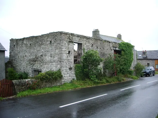
© Alexander P Kapp · Geograph · CC BY-SA 2.0
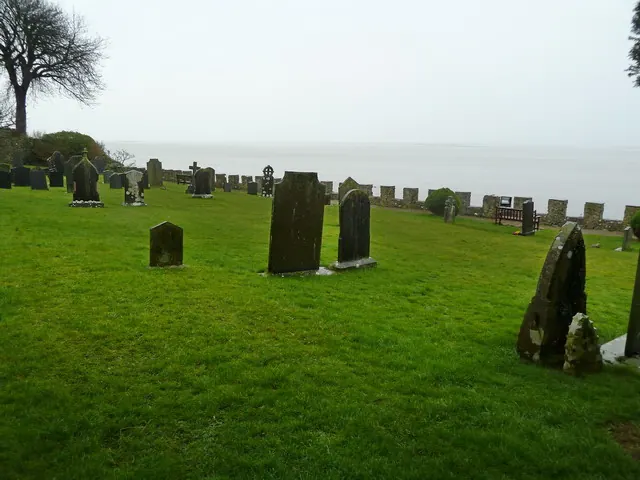
© Alexander P Kapp · Geograph · CC BY-SA 2.0
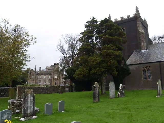
© Clive Nicholson · Geograph · CC BY-SA 2.0
Images © their respective photographers, licensed under CC BY-SA 2.0 and reused here with attribution. Photographs depict listed buildings, churches and monuments near this settlement and may show neighbouring villages.
Data derived from the Open Domesday project (opendomesday.org), based on the Domesday Book dataset compiled by Professor J.J.N. Palmer and team. The Domesday Book (1086) is in the public domain.
Found an inaccuracy? [email protected]