Aldfield in the Domesday Book (1086)
Aldfield is named in the Domesday Book, compiled by Norman commissioners in 1086, entered under the hundred of Burghshire in Yorkshire.
Other Settlements in Burghshire
- Addlethorpe
- Aismunderby
- Allerton [Mauleverer]
- Arkendale
- Askwith
- Azerley
- Barrowby [Grange]
- Beckwith [House]
- Besthaim
- Bestham
- Bewerley
- Bilton
- Birstwith
- Bramley [Grange]
The Meaning of the Name
The name Aldfield is of Anglo-Saxon origin. Its final element derives from the Old English word feld, open country, while the first element appears to represent the old. Taken together the name probably meant something close to ’the old open land’.
Remarkably, the name has changed little since 1086, when the Domesday scribes wrote it as Aldfield.
Listed Buildings Near Aldfield
Historic England records 13 listed buildings within about a mile of Aldfield. Listing protects structures of special architectural or historic interest, graded I (exceptional), II* (particularly important) and II.
Grade I
- Church of St Mary - 0.95 km
Grade II*
- Church of Saint Lawrence - 0.02 km
- The Cottage Approximately 100 Metres North-east of Church of St Mary With Front Garden Wall and Gate - 1.04 km
Grade II
- Church House - 0.03 km
- Gates, Piers and Overthrow to Church of Saint Lawrence - 0.03 km
- Druids Farmhouse - 0.4 km
- School House - 0.58 km
- The Obelisk Approximately 80 Metres West of Church of St Mary - 0.88 km
- Mallard Grange - 0.91 km
- Boundary Wall With West and South Gates, Church of St Mary - 0.92 km
- The Pheasantry With Wall, Railings and Gate on West Side of Lady Rash Walk - 0.97 km
- Well-head at Aldfield Spa Approximately 700 Metres South West of Druids Farm - 1.15 km
- Revetment Walls, Terraces and Steps on North Side of Fountains Hall - 1.3 km
Scheduled Monuments Near Aldfield
Scheduled monuments are nationally important archaeological sites given legal protection. 1 lies within roughly a mile of Aldfield:
Aldfield Today
Today Aldfield lies within the administrative area of North Yorkshire, and the settlement recorded a population of 72 at the 2021 census. Nine and a half centuries separate that figure from the small rural community the Domesday survey recorded here in 1086.
Read more about modern Aldfield on Wikipedia .
Nearby Domesday Settlements
Other places recorded in the 1086 survey within a few miles:
- Studley Royal - 1.4 km NE
- Winksley - 2.2 km NW
- How Hill - 2.2 km SE
- Sawley - 2.8 km SW
- Studley Roger - 3.2 km E
- High Grantley - 3.2 km W
Heritage Around Aldfield
Photographs of churches, listed buildings and monuments in the vicinity, contributed by volunteers to the Geograph project and reused here under a Creative Commons licence.
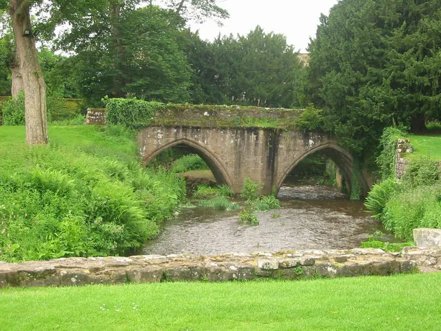
© P Glenwright · Geograph · CC BY-SA 2.0
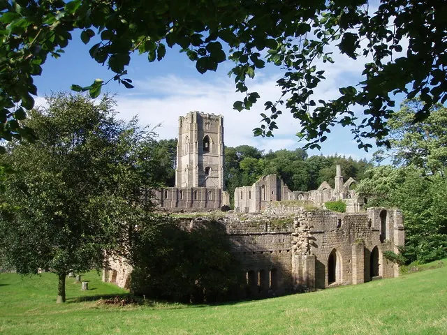
© J Scott · Geograph · CC BY-SA 2.0
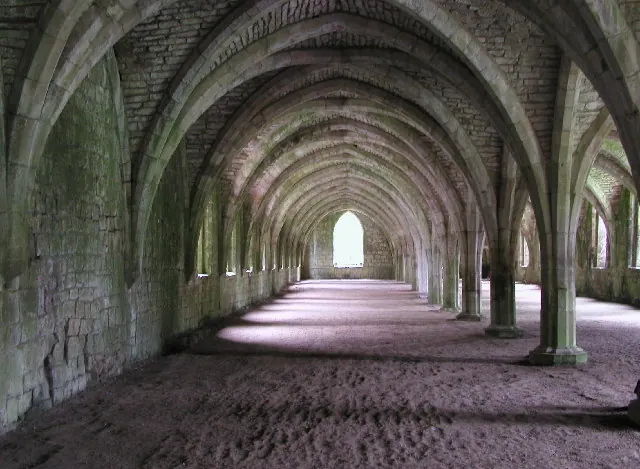
© Andy Beecroft · Geograph · CC BY-SA 2.0
Images © their respective photographers, licensed under CC BY-SA 2.0 and reused here with attribution. Photographs depict listed buildings, churches and monuments near this settlement and may show neighbouring villages.
Data derived from the Open Domesday project (opendomesday.org), based on the Domesday Book dataset compiled by Professor J.J.N. Palmer and team. The Domesday Book (1086) is in the public domain.
Found an inaccuracy? [email protected]