Aldcliffe in the Domesday Book (1086)
The settlement of Aldcliffe is recorded in William I’s Domesday survey of 1086, entered under the hundred of Amounderness in Yorkshire.
Other Settlements in Amounderness
- Aighton
- Aldingham
- Arkholme
- Aschebi
- Ashton [Hall]
- Ashton [on Ribble]
- Austwick
- Barbon
- Bardsea
- Bare
- Barnoldswick
- Barton
- Beetham
- Bispham
The Meaning of the Name
The name Aldcliffe is of Anglo-Saxon origin. Its final element derives from the Old English word clif, a cliff or steep slope, while the first element appears to represent the old. Taken together the name probably meant something close to ’the old slope’.
Remarkably, the name has changed little since 1086, when the Domesday scribes wrote it as Aldcliffe.
Listed Buildings Near Aldcliffe
Historic England records 26 listed buildings within about a mile of Aldcliffe. Listing protects structures of special architectural or historic interest, graded I (exceptional), II* (particularly important) and II.
Grade II*
- Chapel of Ripley St Thomas School - 1.1 km
- Royal Albert Hospital (original part only) - 1.14 km
- The war memorial, Westfield War Memorial Village - 1.25 km
Grade II
- East Lodge to Former Aldcliffe Hall - 0.36 km
- 1-5, Aldcliffe Village - 0.36 km
- Haverbreaks Bridge (Number 95) - 0.55 km
- Westbourne House - 0.81 km
- Laurel Bank - 0.89 km
- The Knoll - 0.93 km
- Storey Home - 0.97 km
- Ripley St Thomas’s School, Original School Building - 0.98 km
- Lancaster Canal Old Boathouse on East Side of Canal Approximately 100 Metres West of Basin Bridge - 0.99 km
- Western Range of Buildings at Royal Albert Farm, Royal Albert Hospital - 1.06 km
- Barn at Royal Albert Farm, Royal Albert Hospital - 1.07 km
- Lancaster Canal Basin Bridge (Number 98) - 1.07 km
- Main Building at Royal Albert Farm, Royal Albert Hospital - 1.08 km
- Lodge to Royal Albert Hospital - 1.08 km
- Lancaster Canal Old Blacksmiths Shop Approximately 30 Metres East of Basin Bridge - 1.1 km
- Southern Range of Buildings, Royal Albert Farm, Royal Albert Hospital - 1.1 km
- Entrance Lodge at Ripley St Thomas School - 1.16 km
- Entrance Gateway at Ripley St Thomas School - 1.17 km
- 20 and 22, Queen Street - 1.27 km
- Lancaster Girls’ Grammar School - 1.28 km
- Three Columns Adjoining the Southern Corner of Number 14 (Nantyr) - 1.28 km
…and 2 more listed structures in the area.
Scheduled Monuments Near Aldcliffe
Scheduled monuments are nationally important archaeological sites given legal protection. 1 lies within roughly a mile of Aldcliffe:
Aldcliffe Today
Today Aldcliffe lies within the administrative area of Aldcliffe-with-Stodday.
Read more about modern Aldcliffe on Wikipedia .
Nearby Domesday Settlements
Other places recorded in the 1086 survey within a few miles:
- Oxcliffe Hall - 1.4 km NW
- Kirk Lancaster - 1.4 km NE
- Newton - 1.4 km NE
- Heaton - 2.0 km W
- Scotforth - 2.2 km SE
- Lancaster - 2.2 km NE
Heritage Around Aldcliffe
Photographs of churches, listed buildings and monuments in the vicinity, contributed by volunteers to the Geograph project and reused here under a Creative Commons licence.
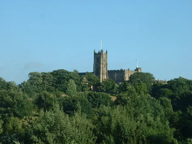
© David Medcalf · Geograph · CC BY-SA 2.0
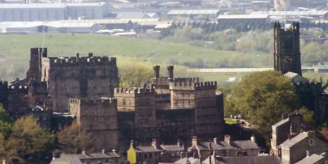
© Dave Logan · Geograph · CC BY-SA 2.0
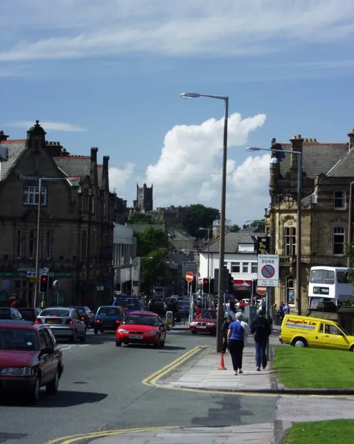
© mym · Geograph · CC BY-SA 2.0
Images © their respective photographers, licensed under CC BY-SA 2.0 and reused here with attribution. Photographs depict listed buildings, churches and monuments near this settlement and may show neighbouring villages.
Data derived from the Open Domesday project (opendomesday.org), based on the Domesday Book dataset compiled by Professor J.J.N. Palmer and team. The Domesday Book (1086) is in the public domain.
Found an inaccuracy? [email protected]