Aldborough in the Domesday Book (1086)
Aldborough is named in the Domesday Book, compiled by Norman commissioners in 1086, entered under the hundred of Burghshire in Yorkshire.
Other Settlements in Burghshire
- Addlethorpe
- Aismunderby
- Aldfield
- Allerton [Mauleverer]
- Arkendale
- Askwith
- Azerley
- Barrowby [Grange]
- Beckwith [House]
- Besthaim
- Bestham
- Bewerley
- Bilton
- Birstwith
The Meaning of the Name
The name Aldborough is of Anglo-Saxon origin. Its final element derives from the Old English word burh, a fortified place, while the first element appears to represent the old. Taken together the name probably meant something close to ’the old stronghold’.
Remarkably, the name has changed little since 1086, when the Domesday scribes wrote it as Aldborough.
Listed Buildings Near Aldborough
Historic England records 73 listed buildings within about a mile of Aldborough. Listing protects structures of special architectural or historic interest, graded I (exceptional), II* (particularly important) and II.
Grade I
- Church of St Andrew - 0.05 km
Grade II
- Sutton Farmhouse - 0.01 km
- The Ship Inn - 0.01 km
- Glebe Cottage - 0.03 km
- Chest tomb of Mark Smithson, at base of Church Tower, to south - 0.05 km
- Memorial Slab Lying to East of Path, Circa 60 Feet to South of South Door - 0.07 km
- Village Cross - 0.09 km
- Darry Cottage and Church View - 0.09 km
- Manor Cottage - 0.09 km
- White House - 0.09 km
- Hazeldene and Railings to Front Gardens - 0.11 km
- The Cottage - 0.11 km
- Gardeners Cottage - 0.11 km
- Aldborough Dairy - 0.11 km
- Manor Farmhouse, Front Wall and Railings - 0.12 km
- Manor Cottage and Flats - 0.12 km
- Building Linking Aldborough Manor and Manor Cottage and Flats - 0.14 km
- Aldborough Manor - 0.16 km
- Rose Cottage - 0.16 km
- Castle House - 0.19 km
- Stocks 6 Feet North of Old Court House - 0.19 km
- Penrose House - 0.19 km
- The Old Court House - 0.2 km
- Stocks House - 0.2 km
…and 49 more listed structures in the area.
Scheduled Monuments Near Aldborough
Scheduled monuments are nationally important archaeological sites given legal protection. 3 lie within roughly a mile of Aldborough:
- Aldborough Cross - 0.1 km
- Aldborough Roman town - 0.11 km
- Stone alignment west of Boroughbridge known as the Devil’s Arrows, including three standing stones and the setting for a fourth - 1.49 km
Aldborough Today
Today Aldborough lies within the administrative area of Boroughbridge.
Read more about modern Aldborough on Wikipedia .
Nearby Domesday Settlements
Other places recorded in the 1086 survey within a few miles:
- Milby - 1.0 km N
- Ellenthorpe Hall - 1.4 km NE
- Langthorpe - 2.2 km NW
- Kirby Hill - 2.2 km NW
- Humburton - 2.8 km NE
- Minskip - 2.8 km SW
Heritage Around [Ald]borough
Photographs of churches, listed buildings and monuments in the vicinity, contributed by volunteers to the Geograph project and reused here under a Creative Commons licence.
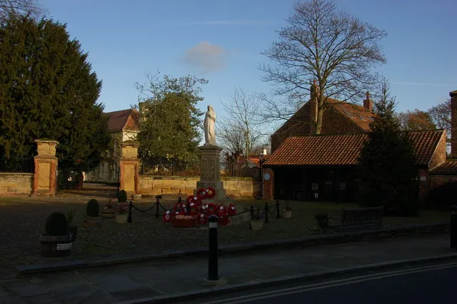
© Nick W · Geograph · CC BY-SA 2.0
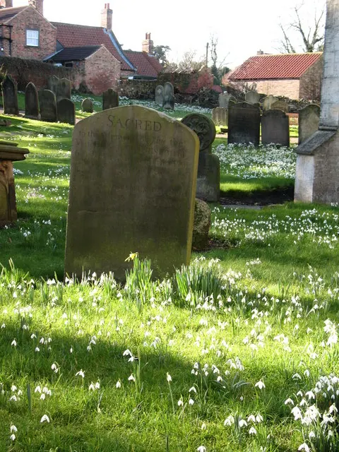
© Gordon Hatton · Geograph · CC BY-SA 2.0
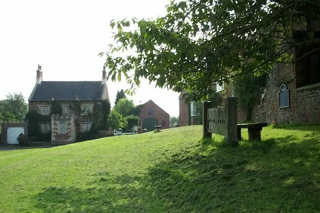
© Elliott Simpson · Geograph · CC BY-SA 2.0
Images © their respective photographers, licensed under CC BY-SA 2.0 and reused here with attribution. Photographs depict listed buildings, churches and monuments near this settlement and may show neighbouring villages.
Data derived from the Open Domesday project (opendomesday.org), based on the Domesday Book dataset compiled by Professor J.J.N. Palmer and team. The Domesday Book (1086) is in the public domain.
Found an inaccuracy? [email protected]