Aislaby in the Domesday Book (1086)
Aislaby appears in the Domesday Book of 1086, entered under the hundred of Langbaurgh in Yorkshire. The survey assessed Aislaby at 30 carucates of taxable land.
At the time of the survey, Aislaby supported a recorded population of 29 villagers, working 10 ploughs between them.
The numbers record a sharp fall. Before 1066, Aislaby was worth 20 shillings; by 1086 that had dropped to 14 shillings – a fall of 30%. Most Yorkshire villages that lost value on this scale were swept up in the Harrying of the North – William’s scorched-earth campaign of 1069–70.
Resources Recorded at Aislaby (1086)
- Mills: 3 mills (valued at 7d)
- Meadow: 1 acres
- Woodland: 40 swine render
Other Settlements in Langbaurgh
- Acklam
- Airy [Holme]
- Arnodestorp
- Baldebi
- Barnaby
- Barwick
- Battersby
- Bergolbi
- Berguluesbi
- Blaten [Carr]
- Borrowby
- Breck
- Brotton
- Caldenesche
The Meaning of the Name
The name Aislaby is of Scandinavian origin. Its final element derives from the Old Norse word bý, a farmstead or village. The first element is most likely a personal name or an early descriptive term, now difficult to recover with certainty. Taken together the name probably meant something close to ‘a farmstead’.
Names of this type are a fingerprint of Scandinavian settlement: they cluster across the old Danelaw, where Norse-speaking settlers renamed or founded villages from the late 9th century onward.
Remarkably, the name has changed little since 1086, when the Domesday scribes wrote it as Aislaby.
Listed Buildings Near Aislaby
Historic England records 29 listed buildings within about a mile of Aislaby. Listing protects structures of special architectural or historic interest, graded I (exceptional), II* (particularly important) and II.
Grade II*
- Pond House - 0.45 km
- St Hildas Preparatory School - 0.71 km
Grade II
- Church of St Margaret - 0.15 km
- Rose Cottage - 0.16 km
- 1914-1918 War Memorial - 0.18 km
- Woodleigh House, Woodleigh Cottage, Chestnut Barn and Return Wall - 0.29 km
- School Farmhouse and Outbuilding to East - 0.35 km
- Numbers 1 and 2 Home Farm With Attached Byre Cartshed and Stables - 0.44 km
- 36, Main Road - 0.44 km
- Pigsties to West of Numbers 1 and 2 - 0.45 km
- Bridge to South of Pond House - 0.45 km
- Parish Hall - 0.46 km
- Walls to South-east of Pond House - 0.46 km
- Walls, Gate Piers and Gates to North and East of Park Hall - 0.51 km
- Park Hall - 0.52 km
- Garden Walls to West of Ivy House, Number 18 and Number 20 - 0.53 km
- Ivy House and Attached Stable - 0.55 km
- 18 and 20, Main Road - 0.55 km
- Gardener’s Cottage, Hillside Cottage and White Rose Cottage - 0.57 km
- Cottage to East of Park Hall - 0.59 km
- Byres, Barn and Sheds to North and East of Ivy House - 0.59 km
- Sundial 8 Metres to South of South Front Centre, St Hilda’s Preparatory School - 0.72 km
- Thistle Grove Farmhouse and Barn Extension - 0.74 km
- Red House Farmhouse and Barn Adjoining - 0.82 km
…and 5 more listed structures in the area.
Scheduled Monuments Near Aislaby
Scheduled monuments are nationally important archaeological sites given legal protection. 4 lie within roughly a mile of Aislaby:
- Round barrow on Dunsley Moor, 160m west of Skelder Cottage - 1.21 km
- Round barrow on Dunsley Moor, known as Swarth Howe - 1.37 km
- Round barrow and two standing stones in Hutton Mulgrave Plantation, 115m west of Swarth Howe - 1.48 km
- Wayside cross known as Swarth Howe Cross, 500m north east of Moorcock - 1.49 km
Aislaby Today
Today Aislaby lies within the administrative area of North Yorkshire.
Nearby Domesday Settlements
Other places recorded in the 1086 survey within a few miles:
- Eskdaleside - 1.4 km SE
- Ugglebarnby - 2.2 km SE
- Newholm - 2.2 km NE
- Hutton Mulgrave - 2.8 km NW
- Dunsley - 3.0 km N
- High Stakesby - 3.6 km NE
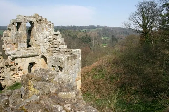
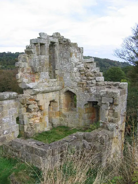
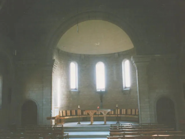
Heritage Around Aislaby
Photographs of churches, listed buildings and monuments in the vicinity, contributed by volunteers to the Geograph project and reused here under a Creative Commons licence.
© Mick Garratt · Geograph · CC BY-SA 2.0
© Stephen Horncastle · Geograph · CC BY-SA 2.0
© Stephen Craven · Geograph · CC BY-SA 2.0
Images © their respective photographers, licensed under CC BY-SA 2.0 and reused here with attribution. Photographs depict listed buildings, churches and monuments near this settlement and may show neighbouring villages.
Data derived from the Open Domesday project (opendomesday.org), based on the Domesday Book dataset compiled by Professor J.J.N. Palmer and team. The Domesday Book (1086) is in the public domain.
Found an inaccuracy? [email protected]