Aislaby in the Domesday Book (1086)
Aislaby appears in the Domesday Book of 1086, entered under the hundred of Dic in Yorkshire.
Other Settlements in Dic
- Allerston
- Appleton [le Moors]
- Aschelesmersc
- Aschilesmares
- Barton [le Street]
- Baschebi
- Baschesbi
- Brompton
- Burniston
- Burton [Dale]
- Cawthorn
- Cayton
- Chigogemers
- Chigomersc
The Meaning of the Name
The name Aislaby is of Scandinavian origin. Its final element derives from the Old Norse word bý, a farmstead or village. The first element is most likely a personal name or an early descriptive term, now difficult to recover with certainty. Taken together the name probably meant something close to ‘a farmstead’.
Names of this type are a fingerprint of Scandinavian settlement: they cluster across the old Danelaw, where Norse-speaking settlers renamed or founded villages from the late 9th century onward.
Remarkably, the name has changed little since 1086, when the Domesday scribes wrote it as Aislaby.
Listed Buildings Near Aislaby
Historic England records 33 listed buildings within about a mile of Aislaby. Listing protects structures of special architectural or historic interest, graded I (exceptional), II* (particularly important) and II.
Grade I
- Church of St Andrew - 0.61 km
Grade II*
- Gazebo and Garden Walls Attached to Aislaby Hall - 0.19 km
- Aislaby Hall, Front Wall and Gate Piers - 0.2 km
Grade II
- Garden shelter approximately 90 metres southeast of Aislaby Hall - 0.13 km
- The Blacksmith’s Arms Restaurant - 0.24 km
- Lane End Cottage - 0.25 km
- Manor Farmhouse - 0.35 km
- Middleton House and Attached Garage - 0.53 km
- Beech View - 0.58 km
- Church Farmhouse - 0.64 km
- Middleton Hall - 0.66 km
- Green Farmhouse - 0.7 km
- Manor House - 0.76 km
- The Willows - 0.78 km
- Methodist Chapel and Gates and Railings to Front - 0.94 km
- Joiners’ Shop Attached to Ivy Dene - 0.95 km
- Ivy Dene Ryedale - 0.96 km
- Former Smithy Attached to the Outbuilding at Foundry Farmhouse - 0.97 km
- Foundry Farmhouse and attached outbuilding - 0.97 km
- 1 and 2 Foundry Cottages - 0.99 km
- Range of Outbuildings Approximately 10 Metres East of Wrelton Hall - 1.02 km
- Farmbuildings Approximately 5 Metres South of Croft Head Farmhouse - 1.04 km
- Groom’s Cottage Approximately 20 Metres North East of Wrelton Hall - 1.04 km
- Croft Head Farmhouse and Attached Railings at Rear - 1.05 km
…and 9 more listed structures in the area.
Scheduled Monuments Near Aislaby
Scheduled monuments are nationally important archaeological sites given legal protection. 1 lies within roughly a mile of Aislaby:
Nearby Domesday Settlements
Other places recorded in the 1086 survey within a few miles:
- Middleton - 1.0 km E
- Wrelton - 1.4 km NW
- Aschelesmersc - 2.2 km SE
- Aschilesmares - 2.2 km SE
- Maxudesmares - 2.2 km SE
- Maxudesmersc - 2.2 km SE
Heritage Around Aislaby
Photographs of churches, listed buildings and monuments in the vicinity, contributed by volunteers to the Geograph project and reused here under a Creative Commons licence.
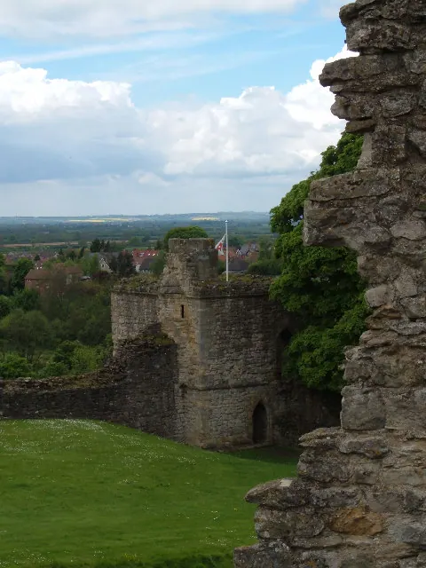
© Alison Stamp · Geograph · CC BY-SA 2.0
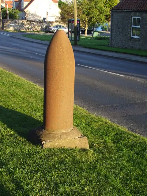
© Keith Evans · Geograph · CC BY-SA 2.0
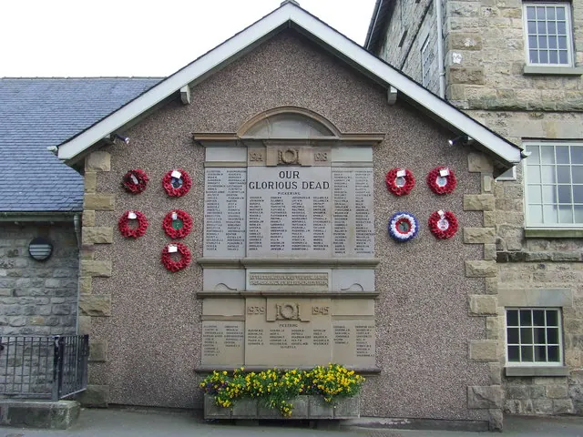
© Keith Evans · Geograph · CC BY-SA 2.0
Images © their respective photographers, licensed under CC BY-SA 2.0 and reused here with attribution. Photographs depict listed buildings, churches and monuments near this settlement and may show neighbouring villages.
Data derived from the Open Domesday project (opendomesday.org), based on the Domesday Book dataset compiled by Professor J.J.N. Palmer and team. The Domesday Book (1086) is in the public domain.
Found an inaccuracy? [email protected]