Aiskew in the Domesday Book (1086)
The 1086 Domesday survey records the settlement of Aiskew, entered under the hundred of Land of Count Alan in Yorkshire.
Other Settlements in Land of Count Alan
- Achebi
- Agglethorpe
- Ainderby [Mires]
- Ainderby [Quernhow]
- Aldbrough
- Allerthorpe [Hall]
- Ascam
- Ascham
- Asebi
- Aske [Hall]
- Askrigg
- Aysgarth
- Baldersby
- Barden
The Meaning of the Name
The origin of the name Aiskew is not securely established from its modern form alone; like many settlement names in the North it likely combines an Old English or Old Norse personal name with a landscape term.
Remarkably, the name has changed little since 1086, when the Domesday scribes wrote it as Aiskew.
Listed Buildings Near Aiskew
Historic England records 65 listed buildings within about a mile of Aiskew. Listing protects structures of special architectural or historic interest, graded I (exceptional), II* (particularly important) and II.
Grade II*
- Aiskew Mill - 0.62 km
Grade II
- Lindum Cottage - 0.31 km
- Warwick House - 0.32 km
- Dovecote Approximately 10 Metres to East of Aiskew House - 0.35 km
- Aiskew House - 0.36 km
- Beechwood House - 0.6 km
- Police Station - 0.66 km
- Signal Box Opposite Park House - 0.76 km
- Harbour Walls and Weir (100 Metres, East Off) - 0.78 km
- The Leech House - 0.82 km
- Mowbray Grange - 0.9 km
- Albert Row - 0.92 km
- 11 and 13, South End - 0.95 km
- Numbers 29 and 31 With Room Above - 0.97 km
- 23, Market Place - 0.98 km
- 25, Market Place - 0.98 km
- 21, Market Place - 0.98 km
- Old Black Swan - 0.99 km
- 15, Market Place - 0.99 km
- 17, Market Place - 0.99 km
- The Three Coopers - 0.99 km
- 5, 5A and 7, Market Place - 1.0 km
- 36 and 38, Market Place - 1.0 km
- 1 and 3, Market Place - 1.0 km
…and 41 more listed structures in the area.
Scheduled Monuments Near Aiskew
Scheduled monuments are nationally important archaeological sites given legal protection. 2 lie within roughly a mile of Aiskew:
- Medieval market cross 130m south east of Bedale Hall - 1.02 km
- Aiskew Roman villa, 550m west of Aiskew Grange - 1.45 km
Aiskew Today
Today Aiskew lies within the administrative area of Aiskew and Leeming Bar, and the settlement recorded a population of 2,427 at recent figures. Nine and a half centuries separate that figure from the small rural community the Domesday survey recorded here in 1086.
Read more about modern Aiskew on Wikipedia .
Nearby Domesday Settlements
Other places recorded in the 1086 survey within a few miles:
- Bedale - 1.0 km W
- Exelby - 2.2 km SE
- Firby - 2.2 km SW
- Great Crakehall - 3.2 km W
- Thorp Perrow - 3.2 km S
- Langthorne - 3.6 km NW
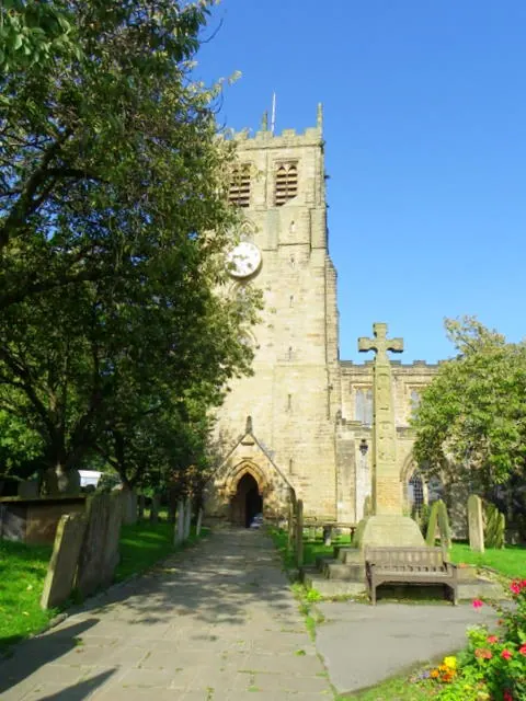
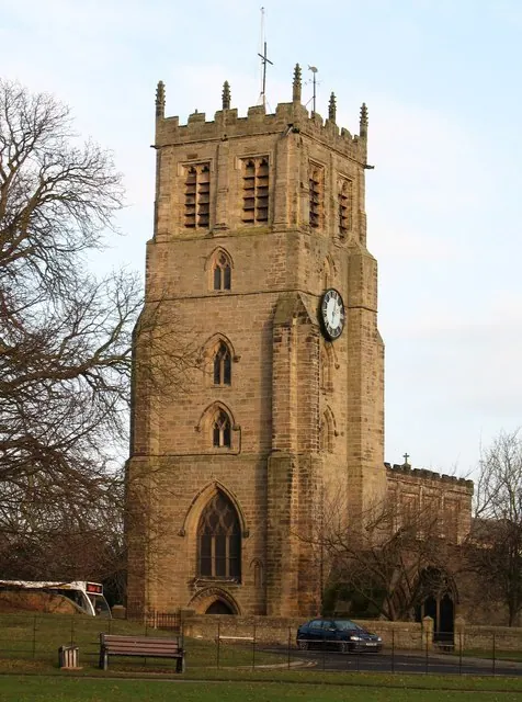
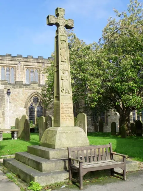
Heritage Around Aiskew
Photographs of churches, listed buildings and monuments in the vicinity, contributed by volunteers to the Geograph project and reused here under a Creative Commons licence.
© Maigheach-gheal · Geograph · CC BY-SA 2.0
© Gordon Hatton · Geograph · CC BY-SA 2.0
© Maigheach-gheal · Geograph · CC BY-SA 2.0
Images © their respective photographers, licensed under CC BY-SA 2.0 and reused here with attribution. Photographs depict listed buildings, churches and monuments near this settlement and may show neighbouring villages.
Location
54.2912°N, -1.5775°W · Land of Count Alan hundred, Yorkshire
View larger map on OpenStreetMap →Data derived from the Open Domesday project (opendomesday.org), based on the Domesday Book dataset compiled by Professor J.J.N. Palmer and team. The Domesday Book (1086) is in the public domain.
Found an inaccuracy? [email protected]