Ainderby Mires in the Domesday Book (1086)
The 1086 Domesday survey records the settlement of Ainderby Mires, entered under the hundred of Land of Count Alan in Yorkshire.
Other Settlements in Land of Count Alan
- Achebi
- Agglethorpe
- Ainderby [Quernhow]
- Aiskew
- Aldbrough
- Allerthorpe [Hall]
- Ascam
- Ascham
- Asebi
- Aske [Hall]
- Askrigg
- Aysgarth
- Baldersby
- Barden
The Meaning of the Name
The name Ainderby Mires is of Scandinavian origin. Its final element derives from the Old Norse word bý, a farmstead or village. The first element is most likely a personal name or an early descriptive term, now difficult to recover with certainty. Taken together the name probably meant something close to ‘a farmstead’.
Names of this type are a fingerprint of Scandinavian settlement: they cluster across the old Danelaw, where Norse-speaking settlers renamed or founded villages from the late 9th century onward.
Remarkably, the name has changed little since 1086, when the Domesday scribes wrote it as Ainderby Mires.
Listed Buildings Near Ainderby Mires
Historic England records 10 listed buildings within about a mile of Ainderby Mires. Listing protects structures of special architectural or historic interest, graded I (exceptional), II* (particularly important) and II.
Grade II
- Ainderby Myers Manor - 0.29 km
- Bowbridge - 0.81 km
- Barn to North West of the Hall - 0.94 km
- The Hall - 0.95 km
- K6 Telephone Kiosk Near Langthorne Hall - 0.97 km
- Barn and Granary to South of Street House Farmhouse - 1.13 km
- Pavilion to South of Street House Farmhouse - 1.14 km
- Street House Farmhouse - 1.15 km
- Threshing Barn and Attached Outbuilding to North of Street House Farmhouse - 1.16 km
- Holtby Hall - 1.22 km
Nearby Domesday Settlements
Other places recorded in the 1086 survey within a few miles:
- Holtby Hall - 1.0 km E
- Langthorne - 1.0 km S
- Hackforth - 2.2 km NW
- Great Fencote - 3.2 km E
- Little Fencote - 3.2 km E
- Hornby - 3.2 km W
Heritage Around Ainderby [Mires]
Photographs of churches, listed buildings and monuments in the vicinity, contributed by volunteers to the Geograph project and reused here under a Creative Commons licence.
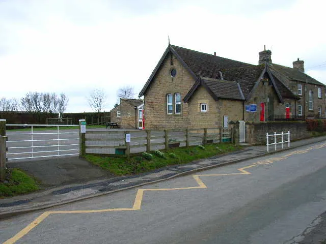
© Oliver Dixon · Geograph · CC BY-SA 2.0
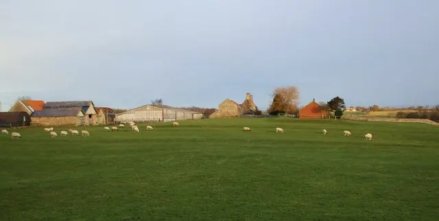
© Matthew Hatton · Geograph · CC BY-SA 2.0
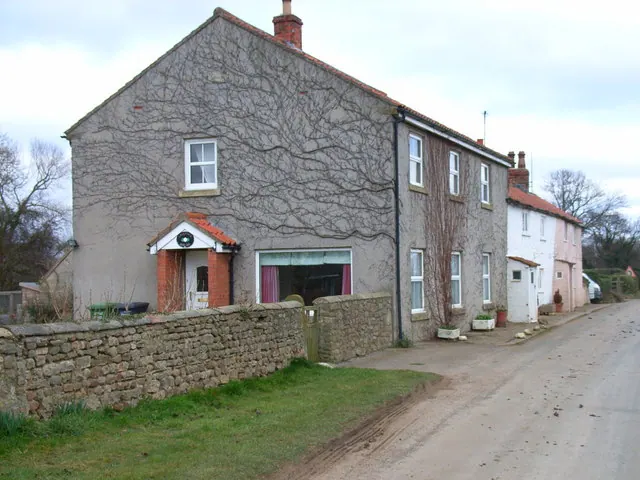
© Oliver Dixon · Geograph · CC BY-SA 2.0
Images © their respective photographers, licensed under CC BY-SA 2.0 and reused here with attribution. Photographs depict listed buildings, churches and monuments near this settlement and may show neighbouring villages.
Location
54.3273°N, -1.6079°W · Land of Count Alan hundred, Yorkshire
View larger map on OpenStreetMap →Data derived from the Open Domesday project (opendomesday.org), based on the Domesday Book dataset compiled by Professor J.J.N. Palmer and team. The Domesday Book (1086) is in the public domain.
Found an inaccuracy? [email protected]