Adlington in the Domesday Book (1086)
The settlement of Adlington is recorded in William I’s Domesday survey of 1086, entered under the hundred of Hamestan in Cheshire.
Other Settlements in Hamestan
- Bosley
- Bramhall
- Bredbury
- Butley
- Capesthorne
- Cheadle
- Chelford
- Cranage
- Gawsworth
- Henbury
- Hollingworth
- Hungrewenitune
- Kermincham
- Leighton
The Meaning of the Name
The name Adlington is of Anglo-Saxon origin. Its final element derives from the Old English word tūn, a farmstead or village. The first element is most likely a personal name or an early descriptive term, now difficult to recover with certainty. Taken together the name probably meant something close to ‘a farmstead’.
Remarkably, the name has changed little since 1086, when the Domesday scribes wrote it as Adlington.
Listed Buildings Near Adlington
Historic England records 21 listed buildings within about a mile of Adlington. Listing protects structures of special architectural or historic interest, graded I (exceptional), II* (particularly important) and II.
Grade I
- Adlington Hall - 1.13 km
Grade II*
- Adlington Hall Mews - 1.04 km
Grade II
- Barn 15 Metres South East of Redbrook Farmhouse - 0.21 km
- Legh Arms Public House - 0.46 km
- Gate Piers, Wing Walls and Gates to Adlington Hall on East Approach - 0.66 km
- East Lodge - 0.67 km
- Maubern Hall - 0.77 km
- The Pillars 140 Metres South East of the Garden Cottage at Adlington Hall - 0.93 km
- Gate Piers and Gates to North Approach of Adlington Hall - 1.02 km
- Adlington Hall Mews and Tea Rooms - 1.05 km
- Lead Statue and Carved Unicorns’ Heads on Section of Wall Behind Fishpond to East of Adlington Hall - 1.08 km
- Sundial 10 Metres in Front of Shell Cottage at Adlington Hall - 1.08 km
- The Shell Cottage and Attached Garden Wall, Wilderness Garden at Adlington Hall - 1.09 km
- The Tig House in the Wilderness Garden, Adlington Hall - 1.1 km
- Statue of Napoleon, 5 Metres From South East Corner of Adlington Hall - 1.1 km
- Sundial at Centre of South Front Lawn at Adlington Hall - 1.12 km
- Gates and Gate Piers to Wilderness Garden at North End of Lime Avenue of Adlington Hall - 1.13 km
- Walnut Cottage - 1.14 km
- Penny Loaves - 1.15 km
- Ha Ha Wall 15 Metres West of West Front of Adlington Hall, and Running Parallel to It to Wilderness Garden For 150 Metres - 1.16 km
- Temple of Diana in the Wilderness Garden at Adlington Hall - 1.22 km
Adlington Today
Today Adlington lies within the administrative area of Cheshire East, and the settlement recorded a population of 1,253 at the 2021 census. Nine and a half centuries separate that figure from the small rural community the Domesday survey recorded here in 1086.
Read more about modern Adlington on Wikipedia .
Nearby Domesday Settlements
Other places recorded in the 1086 survey within a few miles:
- Butley - 3.0 km S
- Mottram St Andrew - 3.2 km W
- Hungrewenitune - 3.2 km S
- Bramhall - 4.5 km NW
- Norbury - 5.0 km N
- Over Alderley - 6.4 km SW
Heritage Around Adlington
Photographs of churches, listed buildings and monuments in the vicinity, contributed by volunteers to the Geograph project and reused here under a Creative Commons licence.
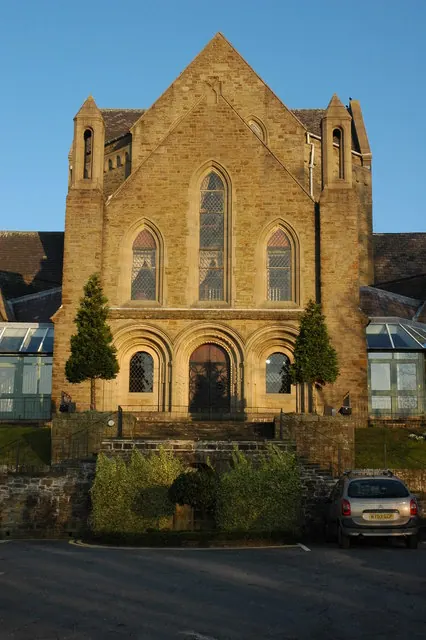
© Philip Halling · Geograph · CC BY-SA 2.0
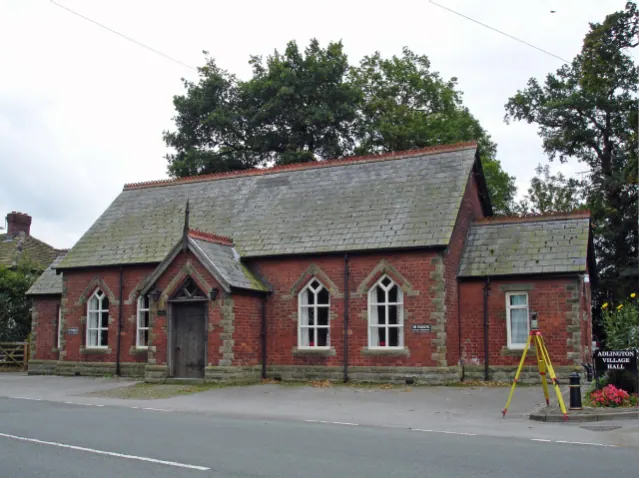
© Mike Harris · Geograph · CC BY-SA 2.0
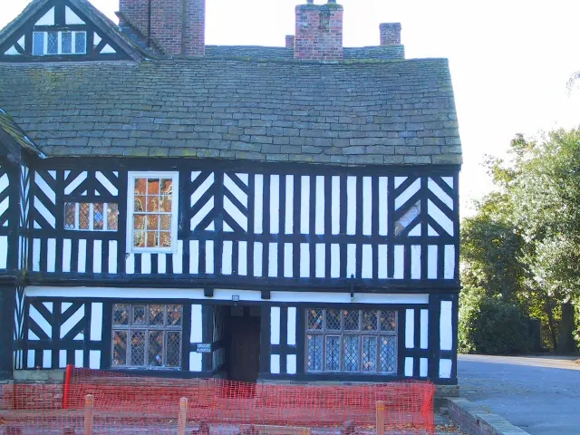
© Roger May · Geograph · CC BY-SA 2.0
Images © their respective photographers, licensed under CC BY-SA 2.0 and reused here with attribution. Photographs depict listed buildings, churches and monuments near this settlement and may show neighbouring villages.
Data derived from the Open Domesday project (opendomesday.org), based on the Domesday Book dataset compiled by Professor J.J.N. Palmer and team. The Domesday Book (1086) is in the public domain.
Found an inaccuracy? [email protected]